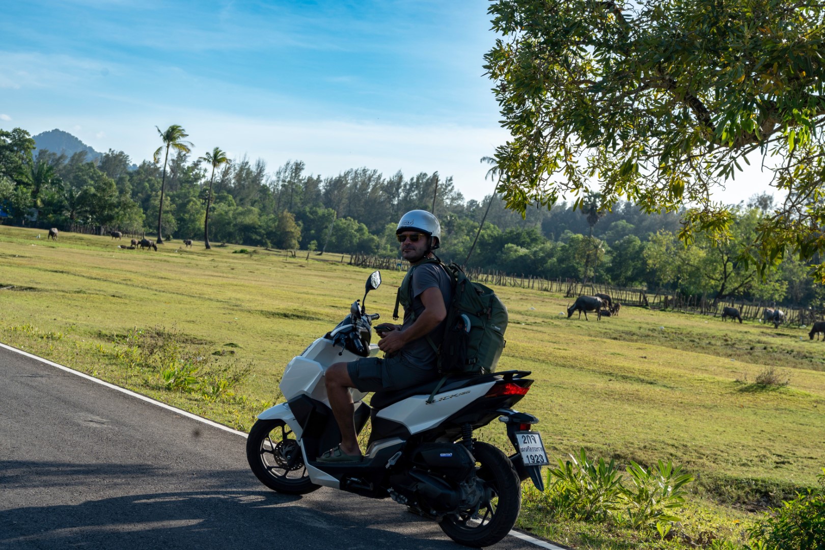
Necessary and sufficient things
to pack in your knapsack for a summer motorbike tour in unknown environments
and unplanned destinations
- Your passport, even if your original
plan was not to leave the country.
- Depending on the duration, 3 to 4
T-shirts. Black so that the dirt is not obvious.
- 3 to 4 underwear. Black for obvious
reasons.
- A swimming suit for the sea, lakes or
rivers. Preferably black, just in case.
- 2 black tank-tops for driving and the
beach.
- A pair of short trousers for driving
and the beach.
- A pair of long trousers for driving
when it is cold, and for going out in cities.
- A pair of sandals for driving short
distances and the beach.
- A pair of shoes for driving long
distances, dirt roads, and going out in the cities.
- A warm jacket/sweater for driving at
night or mountainous areas.
- A rain jacket because it will most
likely rain somewhere.
- A towel, most useful for swimming,
sleeping (e.g., on ship decks), showering (e.g., in camps) etc.
- Toothbrush, toothpaste and soap,
preferably in solid form.
- Earphones for listening to music on the
long highway trips.
- Charger and portable battery,
especially if you do camping.
- If you still have space, a bottle of
your favorite alcohol because you may not be able to find at your first
destination.
Anything else will most likely
create unnecessary distractions and will make finding the essential things more
difficult.
Like life in general.
Dimitris Papadias
Professor of Computer Science
25+ years of touring experience in 5 continents
BIKE TOURS
2025 December – 2026 January, Taiwan
Taiwan, similar to Japan, is one
of the safest places to drive, but at the same time one of the most boring. The traffic limits are low (sometimes 30km/h in the
middle of the mountains), and there are cameras everywhere. Thus, the 155 cc
scooters were powerful enough for all the places we visited. For the first part
of the trip, we started from Taipei, and we crossed the island North to South
passing through the mountains (first map). Despite the subtropical climate, in
the winter you should check the weather conditions as the mountain roads close
because of ice or land slides. For the second part, we crossed South to North,
close to the eastern coastline (second map below).


The
trip did not start well. Although our plan was to spend the night
somewhere on the mountains, as soon as we left Taipei it started
raining. Since it was pointless (and dangerous) to drive in the
rain, we found a hotel in Daxi district and spent the first night
there. While enjoying our whiskey at the balcony at about 11:00 pm, we were shaken by a 7.0
magnitude quake (second picture). Indeed it was not a good start.


The weather improved the second day and we
continued the trip south through the mountains. The road from Daxi to
Puli, our second overnight stop, was pleasant, but not really remarkable, in
terms of landscape (see pictures below).


Puli is a quite town on the mountains with nothing
interesting to mention, except for a nice Mexican bar (first picture
below), which however was empty when we visited. Nevertheless we had a
interesting conversation with the owner. Near Puli, is the Sun Moon
Lake, one of the major attractions of Taiwan, with several photo
opportunities. It was nice driving around the lake on a sunny
day, but be prepared for traffic and tourist buses.


From Kaohsiung it is a bit more than 100km to the
southernmost tip of Taiwan (first picture below). The peninsula is
called Kenting and contains sandy beaches, coral reefs, and limestone
caves. Although it seems highly touristic (full of resorts, restaurants etc.), it must
have been off-season when we visited.


We decided to stay a few days and enter the new
year in Baisha beach (2 photos below). We were lucky that the weather
was good enough for swimming on New Year's day.


The second leg of the trip started from Baisha to Taitung, the southernmost city of the east coast. In general, the east coast is very sparsely populated because it is exposed to the elements. Indeed, when we first reached the ocean (first picture below), it was extremely windy, to the point that it was dangerous to drive. After a quick stop at Taitung (second picture), we decided to take the inland (instead of the coastal) roads north. Although still windy, it was a good choice. The roads passed though valleys, surrounded by mountains, offering views of rice fields, rivers and villages.


After an overnight stay inland in Fuli, we reached Hualien, by the ocean. Although the first impression was rather negative, we liked the vibe of Hualien. From there, we visited Taroko Gorge. In my opinion, if there is a single route that you have to do in Taiwan, this is it (see pictures below). If the conditions permit, from Taroko Gorge you can reach Wuling, which is the highest road in Taiwan. Unfortunately, we could not do it due to road closures (because of the afore-mentioned earthquake). One of the times that we stopped and waited for road works, we had an encounter with the local monkeys (third picture), which are aggressive and dangerous (they steal whatever they can).


After Taroko, we returned to the east
coastline and took national road 9 north, all the way to Yilan. The part next to the ocean is
considered one of the most scenic roads in Taiwan, and you can see why
in the pictures below. The next day we drove from Yilan to Taipei (again
through mountains), concluding the trip.


We spent around 10 days on the trip, but it can be done in a week
if time is limited.
2025 September, South Japan
Japan
has 4 main islands. In this trip we explored large parts of 3 of those:
Honshu, Kyushu and Shikoku. I always wanted to do a bike trip in
Japan because I have high respect for the culture. However, I was
rather disappointed. First, in early September the temperature was
often 35 degrees Celsius with high humidity, which made riding inside
cities unbearable. Second, although Japan has the most impressive road
infrastructure that I have ever seen, riding is extremely boring. The
speed limits are ridiculously low for the road conditions, there are
traffic lights even in the middle of nowhere, and most rural roads have
a single lane (with no options for overtaking). We even encountered
highways with limit 50km/h (the normal limit for highways is 100km/h).
Too much safety. Even the drivers were too kind - when they realized
that we were behind them, they would suddenly make space for us to
overtake (which seemed a bit dangerous). In any case it is a trip worth
doing for many reasons, as explained below.

We started from Osaka, and we went towards the north coast of Honshu.
We then crossed the island to the west by following coastal roads. We
did not have any specific plan and slept wherever the night found us.
On the way we saw beautiful villages, beaches and sunsets. However, we were mostly impressed by the roads:
tunnels/bridges everywhere and total absence of potholes. At nights we
visited traditional Japanese bars, some of which had amazing selection
of whiskey. It is a pity that most Japanese people do not speak
English, as we would like to socialize more.


An example of the afore-mentioned infrastructure is Tsunoshima Bridge (first picture below), which connects Honshu to an (almost) uninhabited island with a beach (second picture). From the western-most tip of Honshu we took another bridge to Kyushu island. One of the highlights is that we drove through the entire Fukuoka using a web of highways and bridges, which offered breathtaking views of the city. Unfortunately, we could not stop anywhere for pictures. In general in Japan, highways often pass above, or below, entire cities. In Nagasaki, we reached the center of the city directly from the countryside by a series of tunnels.


The second part of the trip involved exploring Kyushu and Shikoku islands.

We decided to visit some small islands south of Nagasaki and we took
a couple of ferries. Like everything else in Japan, the ferry service
was efficient, but have Google Translate handy. Also keep in mind that
motorbikes are the last to unload from ferries, which may cause delays
when you have to drive behind trucks in rural roads with a single
lane. Nevertheless, as you can see in the pictures below, the landscape was worth it.


The
next stop was mount Aso, a volcano near Kunamoto. This seems a favorite
destination for Japanese bikers (we encountered many) because of the
twisty roads. Indeed it was a very pleasant ride in the mountains.


In Yufu, near Aso, we visited the Iwashita Collection.
Among other things (including trains and airplanes!), it has the
largest collection of motorbikes in Japan. The Ducati next to Andreas
in the picture below, is the only one of its kind worldwide.


Shikoku is the least populated of the four main islands because it is mostly covered by high mountains. One of these is Mt. Ishizuchi. The road to Mt. Ishizuchi runs 27kms along a ridge at an altitude of 1,300 to 1,700 meters, and it was possibly the most impressive route of the trip. Is is called the UFO Line because of frequent UFO sightings.


For the last part of the trip we returned to Honshu.

We took a series of bridges that connect Shikoku and Honshu (first two pictures below), and spent the night in Okayama. From there we drove the highway to Nara, a historical city and UNESCO World Heritage Site. The last two pictures are from Nara Park. After Nara we drove to Nagoya.


Our plan was to visit Mt. Fuji, the most famous and sacred mountain of Japan. However, an incoming tropical typhoon interfered with out planning. Since our trip was coming to an end (and we had to return the motorbikes Osaka), we decided to avoid the risk and started turning back toward lake Biwa. Fortunately, we missed most of the extreme weather and we got away with some mild rain.


We spent the last couple of days in Kyoto, the most touristic of all cities in Japan (I had been there before). Kyoto's reputation is well deserved because of its beautiful temples, parks, food markets and lively nightlife.


A
less known fact about Kyoto is that it also provides excellent
opportunities for daily motorbike excursions around the city. Indeed,
we had one of our best experiences driving around Kyoto, on a day that could
have been easily lost due to the typhoon (see pictures below). From Kyoto is a short drive
to Osaka (the two cities are conjoined and served by the same airport).


Despite
the initial disappointment with the strict road regulations (and
rules in general), the trip was well worth the 10 days. The prices were
reasonable and most things seemed cheaper than Hong Kong and most
European cities; especially food and whiskey. There are 24-hour markets
(e.g., 7-11, Lawson, Family Mart) even in remote places, so food and
other necessities are always accessible, even when communication in
English is not possible.
2025 Summer, Greece: Pictures (with no comments) from various places with various people
Peloponnese: Including Ilia, Messinia, Laconia, Arcadia and Kephalonia


Epirus: Including Vikos Gorge, Tzoumerka Mountains, Zagoria, Metsovo, Parga and Mparos Pass


2025 Spring, North Vietnam
I rented a Honda Click 160 from Tigit Motorbikes in Hanoi. In addition to being one of the most professional rentals that I have ever used, it is also near Hanoi Airport, in the north side of the city. Thus, after my flight landed, I went directly there and started my trip, avoiding most of Hanoi traffic. My first destination was Ha Giang, near the border with China.

Given the road conditions in Vietnam, it is difficult to drive more than 250 km per day. Since the shortest distance from Hanoi to Ha Giang is 270 km, and I started the trip in the afternoon, I stayed overnight at Ba Be lake. Although this route is not the fastest, it is scenic, passing through rice fields, mountains and rivers (see pictures below).


Similar to Mae Song Loop in Thailand (see Dec 23-Jan 24 trip), the Ha Giang Loop is a 3-4 day tour offering dramatic scenery of the Vietnamese mountains. Compared to Mae Song, I enjoyed it less because of the unusually cold weather. In terms of landscape, however, they are equally impressive, as shown in the pictures below. Keep in mind that somewhere in the loop, foreign drivers are likely to be stopped and asked to pay a fine of around US$200 because Vietnam does not recognize the standard international driver licenses. You can bargain about the fine, but you cannot avoid it. The positive aspect is that once you pay, the police give you a receipt so that you do not have to pay again. I have driven all over Vietnam over the years, and Ha Giang Loop is the only place where this happens.


My next destination were the Ban Gioc Waterfalls. After leaving the mountains, the temperature and the landscape became much milder (first picture below). The waterfalls (second picture) were very busy. It is worth mentioning that the other bank of the river is Chinese (i.e., the river is the natural border with China). Then, I continued south, towards Ha Long Bay. The third picture is at a gas stop somewhere in the middle of nowhere. Ha Long Bay is a UNESCO World Heritage site famous for its emerald waters and limestone rock formations topped with rainforests. It is the most touristic place in Vietnam and you can experience it by luxurious cruises. Instead, I took a ferry (last picture) with the locals to Cat Ba, the only inhabited island in the bay.


I stayed a couple of days in Cat Ba and I visited several interesting places in the island, including beaches and caves, some of which were used during the Vietnam war. The map above stops at this point because Google Maps could not include the ferry trip in the route. Nevertheless, there are fewer than 100km of paved roads on the island, and I drove all of them.


From the west side of Cat Ba I took another ferry to the mainland, and went to Ninh Binh. The area is also known as "Ha Long Bay on land" because it contains similar rock formations, but with rice fields and lakes, instead of the ocean (first two pictures below). After Ninh Binh, I drove 100km north to Hanoi (last picture), concluding the week-long journey.


Although not as bad as the Dec 22-Jan 23 trip (below), driving in Vietnam can be a traumatic experience, both psychologically and literally. Avoid the cities as much as possible, be extra vigilant and pray for the best. Below some bonus pictures from the mountains and Cat Ba caves.


2024 December –
2025 January
The reasoning behind the camper van, instead of
motorbikes, was that New Zealand is expensive for both bike rentals and
accommodations. Moreover, despite being early summer when we visited, the weather
can be very cold, especially at the South Island. Although the camper
van alleviated some of these problems, it created some new ones. The
worst one was parking. I was under the (romantic) impression that we
could park overnight at arbitrary beaches and watch baby seals and
dolphins play under the moon light. Instead, ridiculously strict
rules made us spend many hours trying to park anywhere legally (they
enforce parking rules with heavy fines). Even with the aid of mobile
apps, we found ourselves in parks and camp sites with only 4-5 spaces
for camper vans, cramped next to each other and full. All this in
a country that is almost empty of people. In general, this
over-regulation made New Zealand the most negative of all my travel
experiences, despite having some of the best landscape, brightest
natural light and clearest night sky. Instead of long descriptions, I will let the pictures do the talking.
Part 1: Auckland - Wellington
Starting from Auckland, we went east and we
crossed the North Island with direction south towards Wellington. We
also drove the coastal road between Whakatane and Gisborne, but I could
not mark it on Google Maps (I guess there are roadworks at the time of
writing this). Actually some of the pictures below are from that
peninsula. From Wellington, we took the ferry to Picton, on the
northern tip of the South Island.


Part 2: Picton - Queenstown
The South Island has the best landscapes of New Zealand. From Picton we drove the coastal road to Christchurch. After an overnight there, we went inland to Lake Tekapo and Aoraki/Mount Cook (from the Lord of the Rings), possibly the main attractions of the island. Then, we continued to Dunedin, a coastal town with whiskey distilleries and a vibe of Scotland. At this point we started having mechanical problems with the camper van, and at the entrance of Queenstown, it completely gave up. As it was Friday, we had to wait until Monday afternoon, for the company to deliver another one from Christchurch. The good news, is that Queenstown is the most touristic city in New Zealand and (from what we heard) the only one with some decent nightlife (despite having only about 50,000 residents). The bad news is that it is also the most expensive; the cheapest hotel that we could find was more than US$300 per night (it was their high season).


As you can verify in the first five pictures below, Queenstown is indeed vey picturesque. However, after three nights there we reached our limit. Thankfully, the new camper van arrived on time, and we continued our trip north. Most of the coastal part of the route was national park, some of it with view of the west side of Mount Cook. When we reached Picton, the first ferry company told us that all tickets were sold out for the entire next week. At that point, we lost a few years of our life. Thankfully, we managed to find tickets for the next day at the second company. As there was not a third company, this was a narrow escape from Picton.


This was the shortest part of the trip, as we simply crossed the North Island from the west side with direction north. At Auckland, we met with an old friend from Hong Kong, who is a professor there.


Part 5: Auckland - Cape Reinga - Auckland
We went to the northern-most cape from the east side and returned from the west. This is the (sub-)tropical part of New Zealand, and the only place where the weather was warm enough for swimming in the ocean.


At
the departure gate of the Auckland airport, I promised myself to
never visit New Zealand again. It feels that they have over-regulated the
life out of the country. In some places there were more signs "No
smoking", "No alcohol", "No meth" and worst of all "No parking camper
vans" than people. It will be an easy promise to keep given the
distance from the rest of the world (and that a pack of cigarettes
costs about US$25-30).


2024 Summer, Greece: Pictures (with no comments) from various places with various people


2023 December –
2024 January
Compared to last year's trip to Vietnam and Cambodia this was
easy. Easy to rent motorbikes, easy traffic conditions, easy to find and order
excellent food everywhere, easy to communicate since most Thai people speak
English etc. The trip had two parts. We took a flight to Phuket island and from
there we explored south Thailand. When we got bored, we took another flight
from Phuket to Chiang Mai, and rode around the mountains of north Thailand. The
first part is shown in the map below. In reality, we rode many more than the
kilometers indicated in the maps because we did several detours and visited
additional places, including the islands Koh Samui and Ko Pha Ngan.
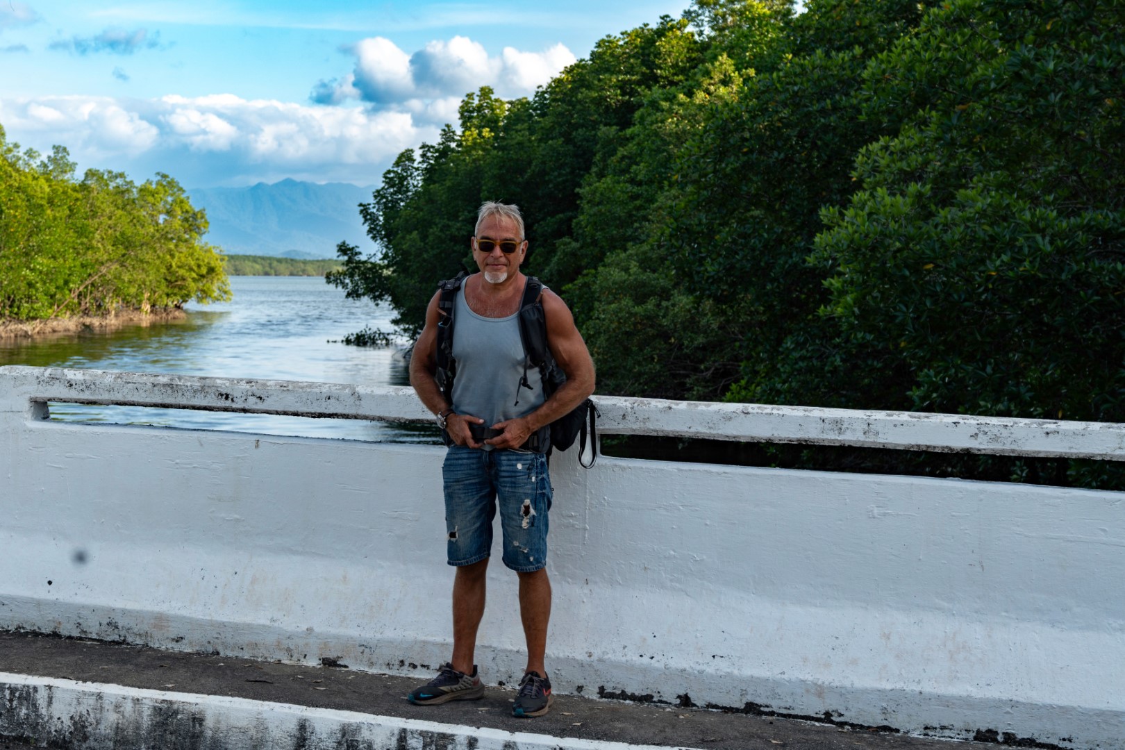
Once
you leave Phuket, through the bridge connecting it to the mainland, the traffic
drops significantly. We followed the direction north, towards Ranong, a town
next to the border with Myanmar. The road is near the sea (but no sea view) and
in good condition. There are many detours towards national parks, beaches and
waterfalls, which are worth exploring. The pictures below are some of these
detours.
Our first overnight stop was
Khao Lak, about an hour drive north of Phuket. Khao Lak was among the
worst hit areas by the tsunami of 2004, and you can still see several
reminders, including a tsunami museum. In my opinion it is one of the most
underrated places in Thailand with several of the advantages of Phuket
(landscape, beaches, facilities, easy accessibility), without the heavy traffic
and overcrowding. There is even some decent nightlife. The photos below are
from Pakarang Cape and Coconut Beach.
Ranong, about 220 km north of Khao Lak, is a provincial town
without much to do, except maybe of visa-free trips to neighbouring towns or
islands in Myanmar. We did not take this option because of the civil war there.
Instead, after spending a night in Ranong we continued north towards central
Thailand and Hua Hin, 200 km south of Bangkok. This was a long trip (380 km)
for scooters and it became more difficult because both of us had high fever
since we caught flu or something similar. We stayed a couple of days in Hua
Hin, but unfortunately it was cloudy and rainy. The first photo below is from
the trip, where the road comes closest to Myanmar (on the other side of the
river). The second picture is from the beach of Hua Hin.


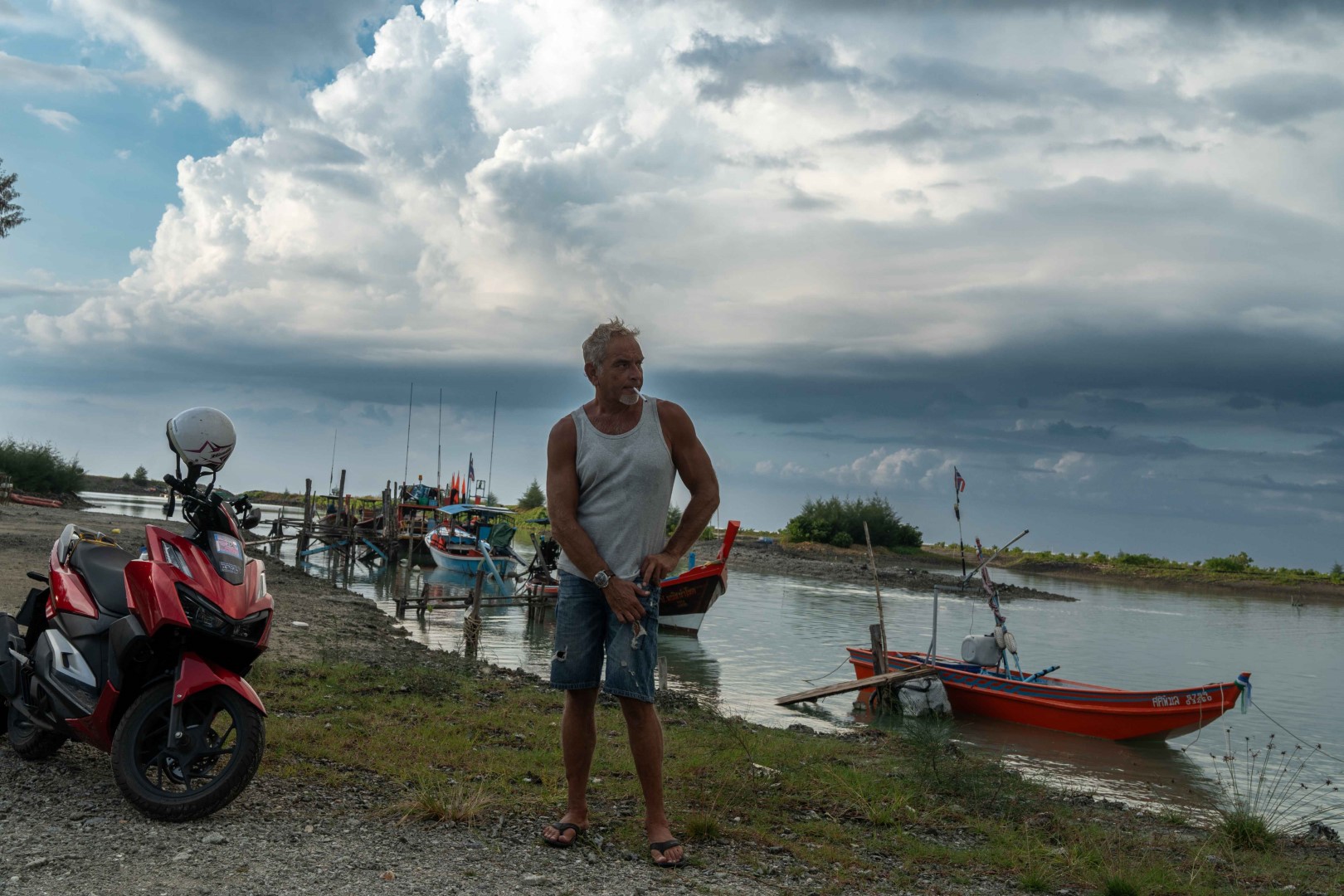
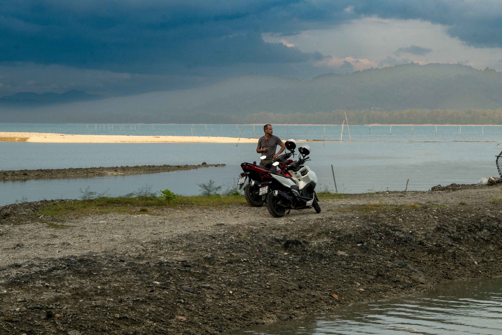
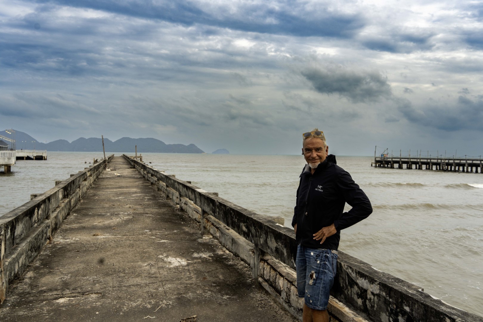
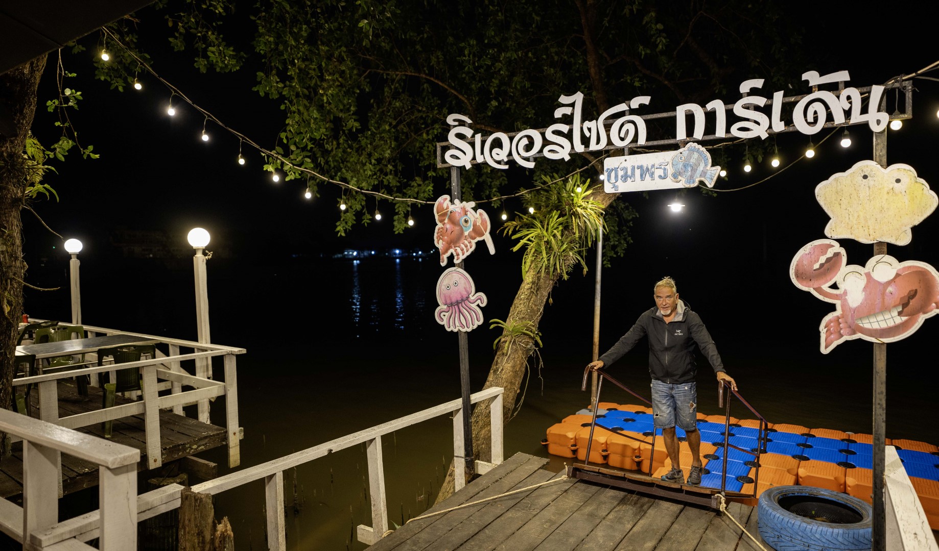
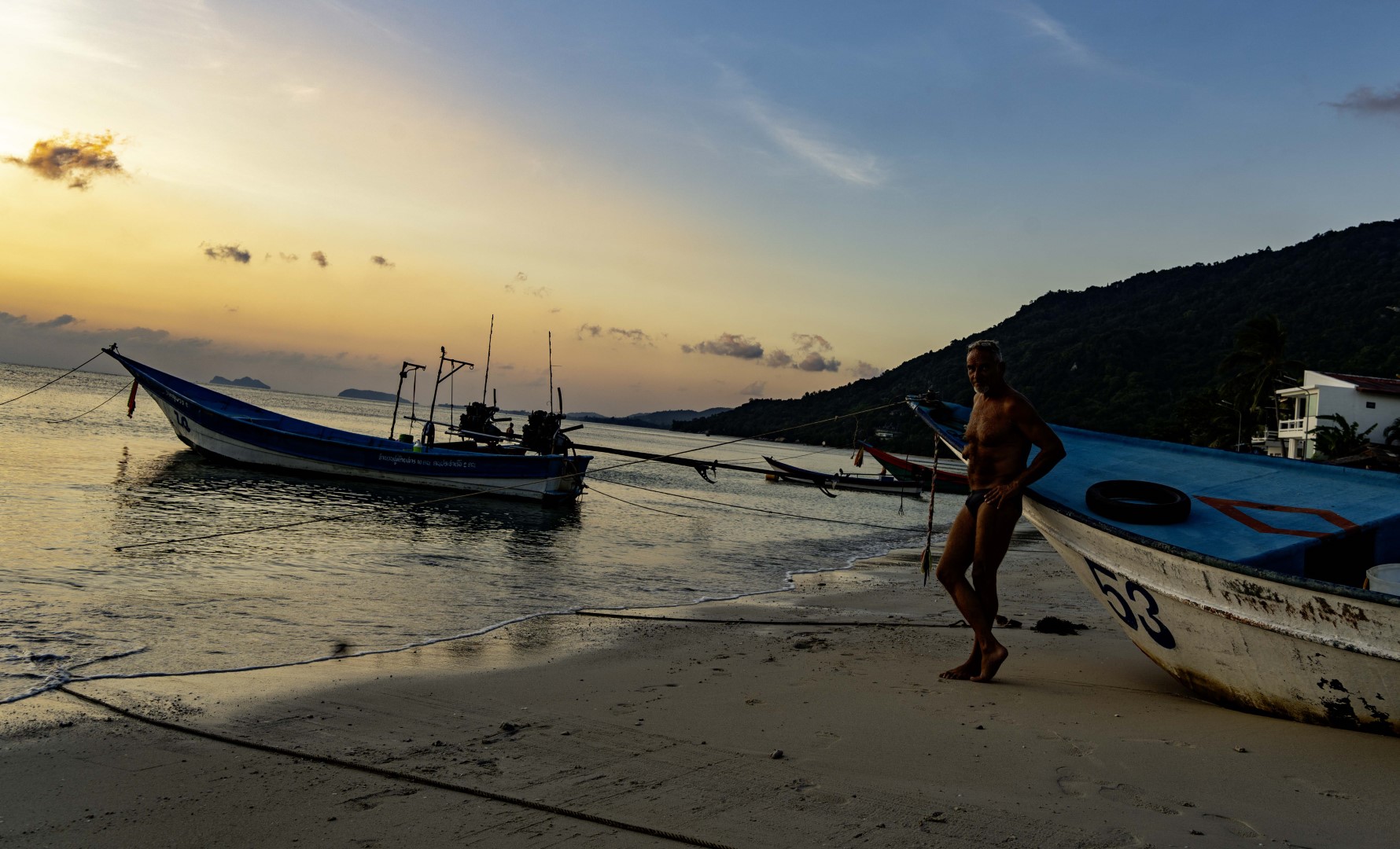
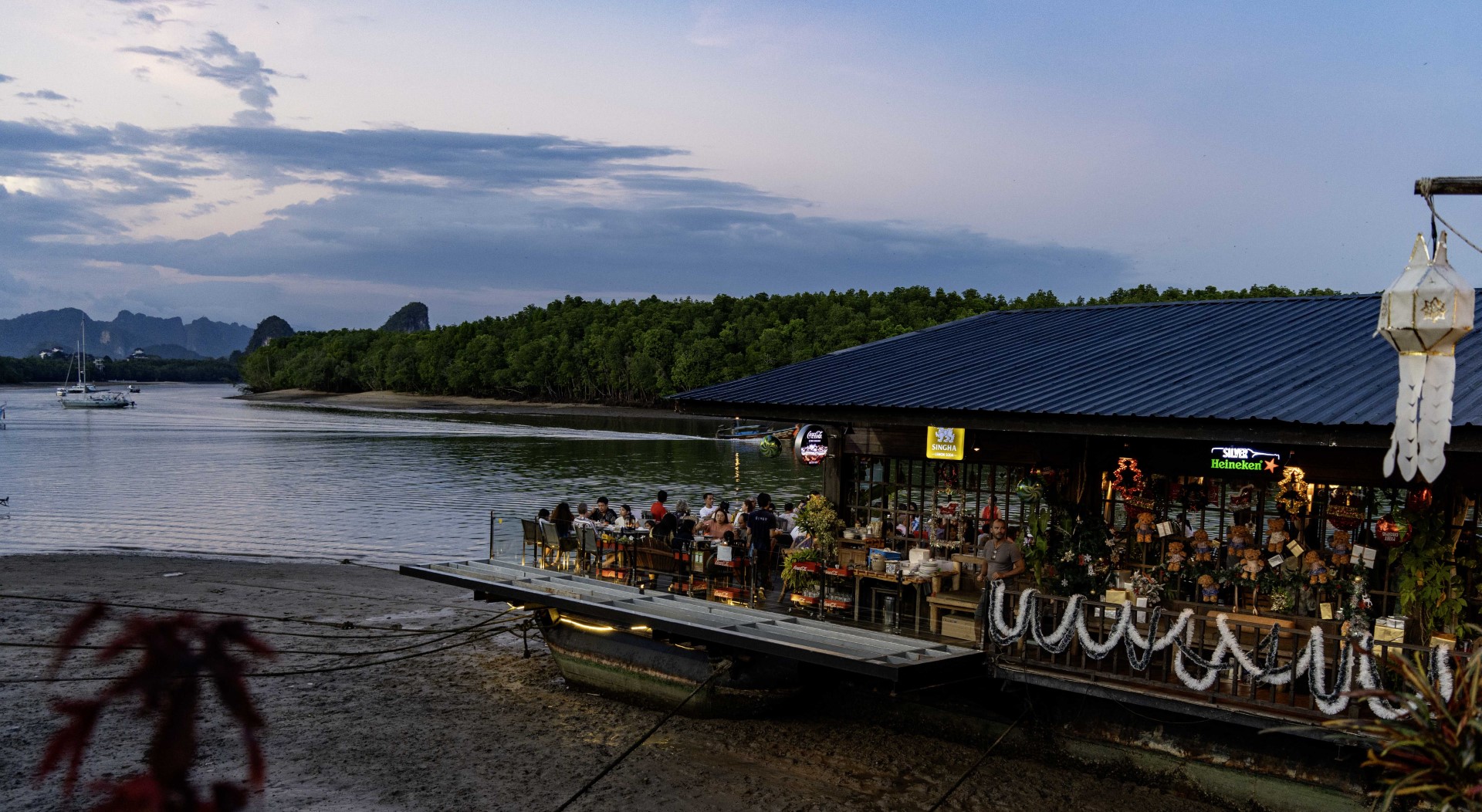
After Hua Hin, we returned south
towards Chumphon. In order to see different places, we took small coastal
roads, instead of the main highway connecting Bangkok to south Thailand (i.e.,
the road that we used from Chumphon to Hua Hin). Indeed as shown in the
pictures below, the landscape was worth it. The overnight at Chumphon, on the
other hand, not so much (the third photo is at a river restaurant in Chumphon).

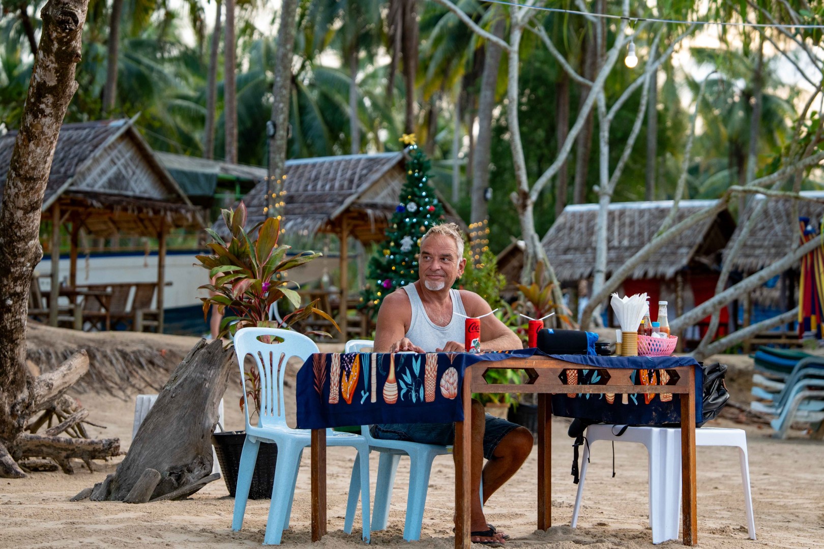
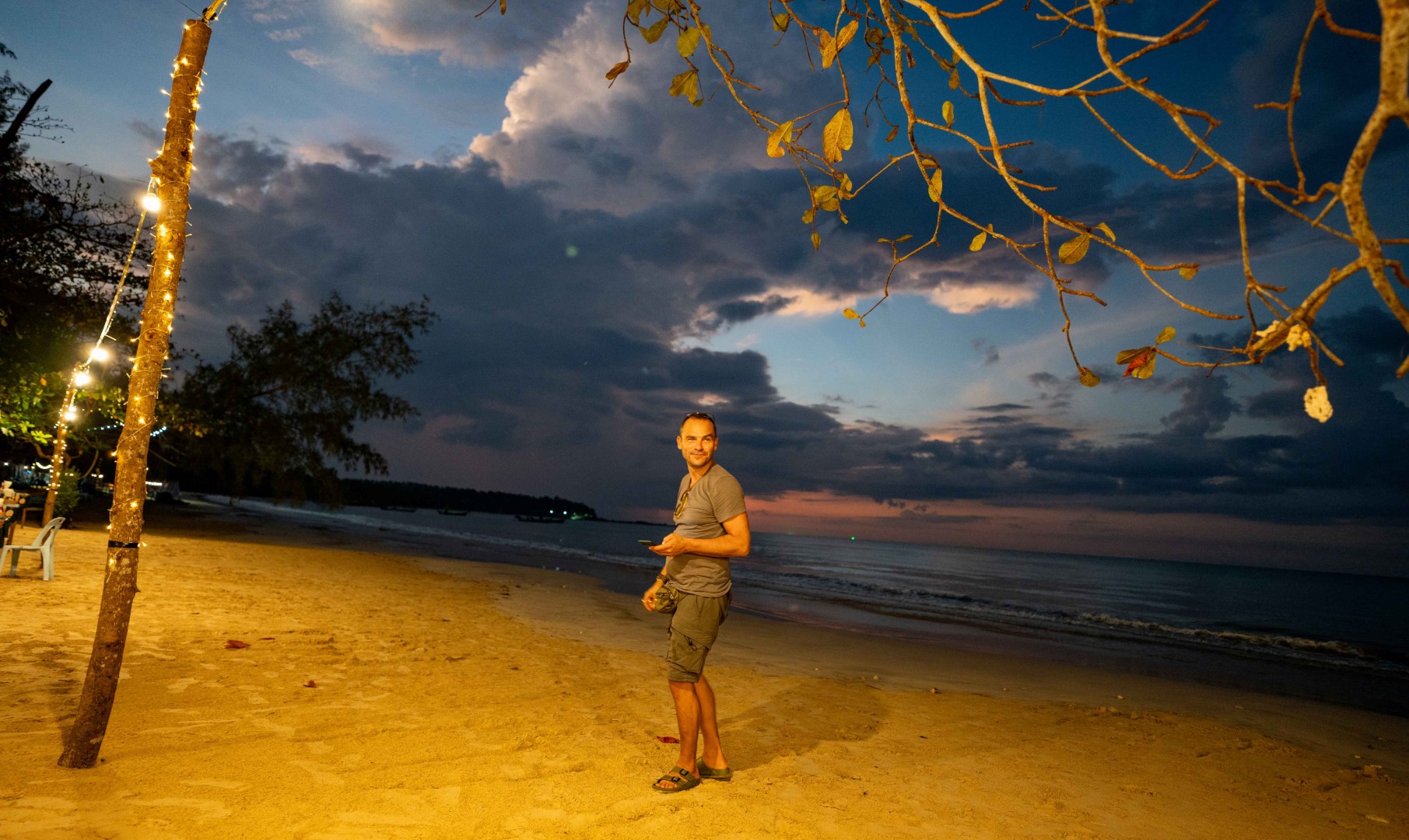
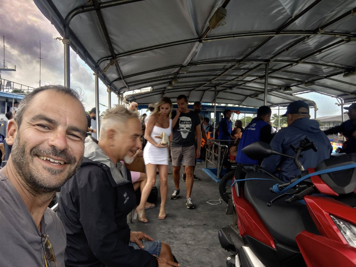
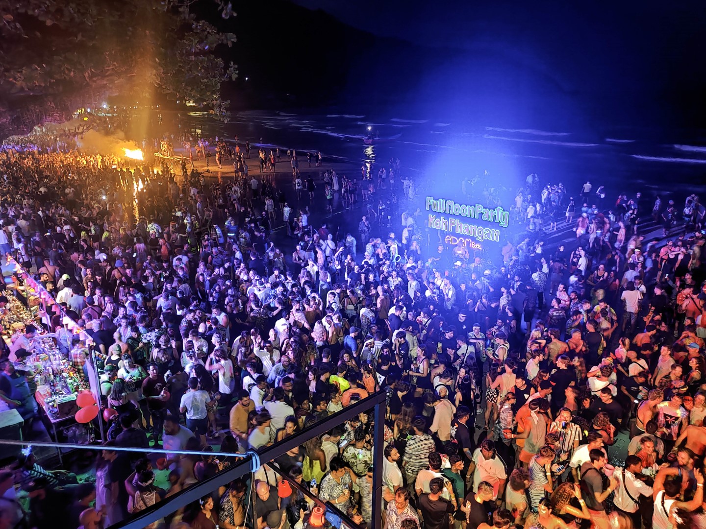
We continued south to Surat
Thani and the port for ferries to Koh Samui. There are frequent ferries and we
found one departing immediately. Koh Samui was too busy for our taste and the
next day we took another boat (I would not call it a ferry) to Ko Pha Ngan (a
couple of hours north of Koh Samui). As you can see in the first picture, the
boat was full of people because there was a full moon party at Ko Pha Ngan
(second photo). We liked the relaxed atmosphere of Ko Pha Ngan and stayed a few
days at a small hotel by the beach (third picture and video at the end).
We then took the ferry from Ko Pha Ngan back to Surat Thani and
went further south to Krabi. Although Krabi is beautiful (picture below) and
has many places to visit nearby, including Phi Phi and other islands, we were
getting tired of the crowds in south Thailand - moreover I had visited Krabi
recently. So we decided for a change of scenery (from beaches to mountains),
rode back to Phuket, returned the scooters and boarded a flight to Chiang Mai,
the Thai capital of the north.
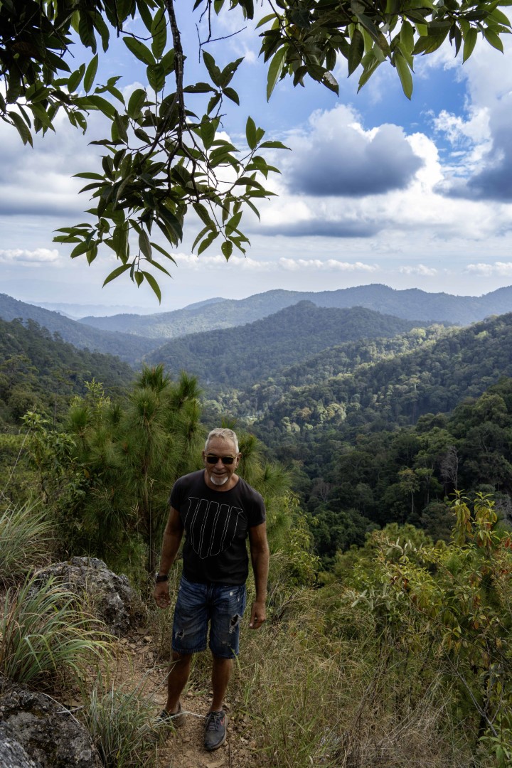
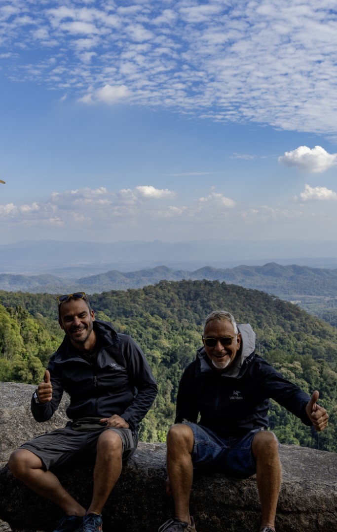
Using Chiang Mai as our base, we did four mountain tours each
ranging between 1-3 days. Since we were happy with the Honda Clicks, we rented
again the same. The weather conditions were excellent, with pleasant
temperatures and sunny days.
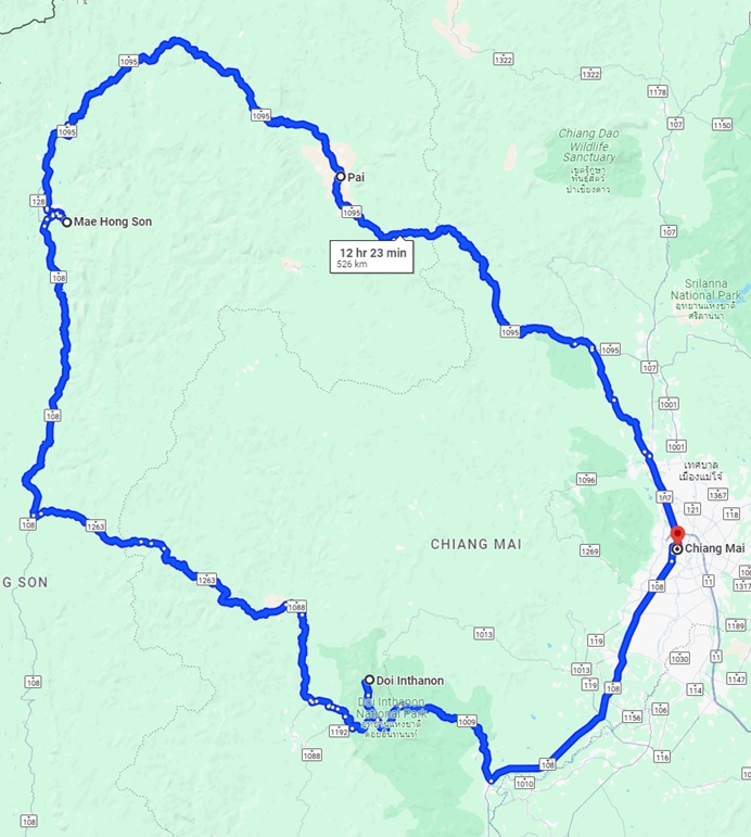
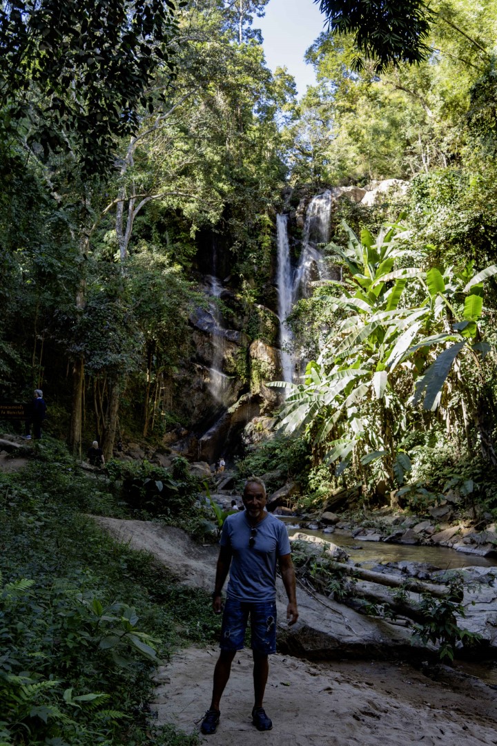
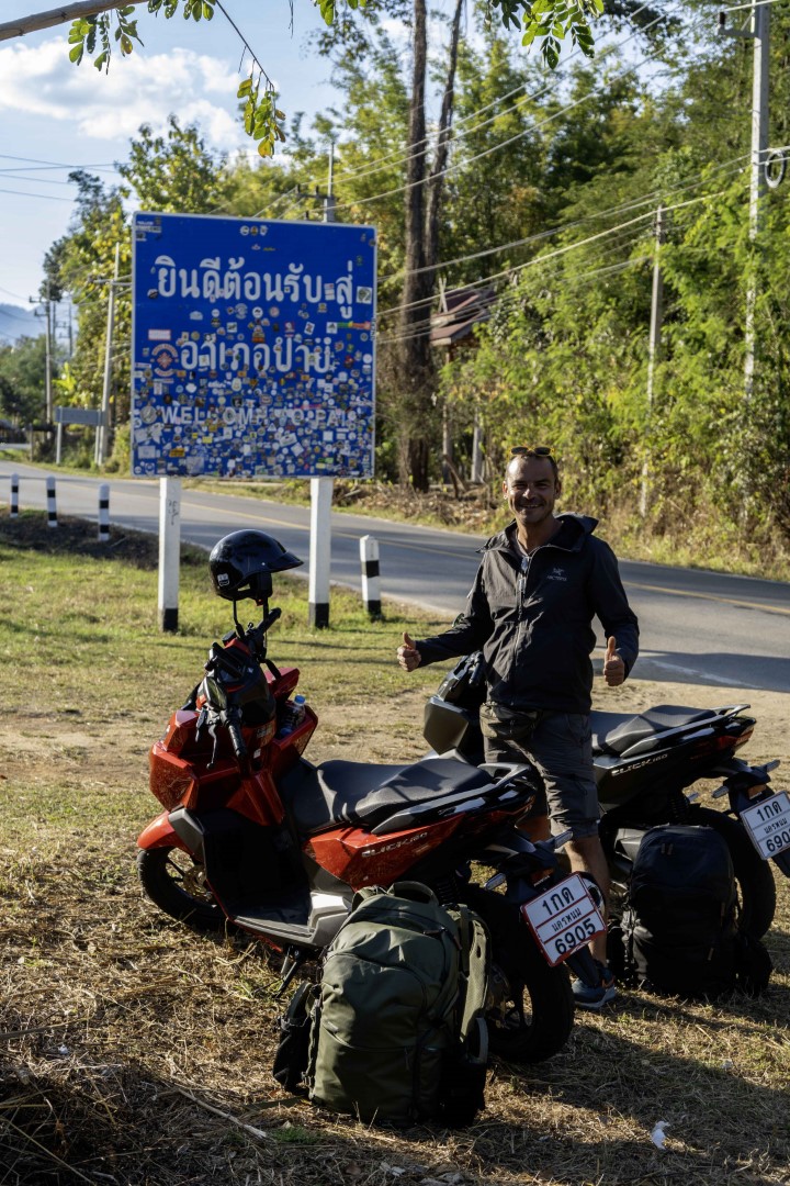
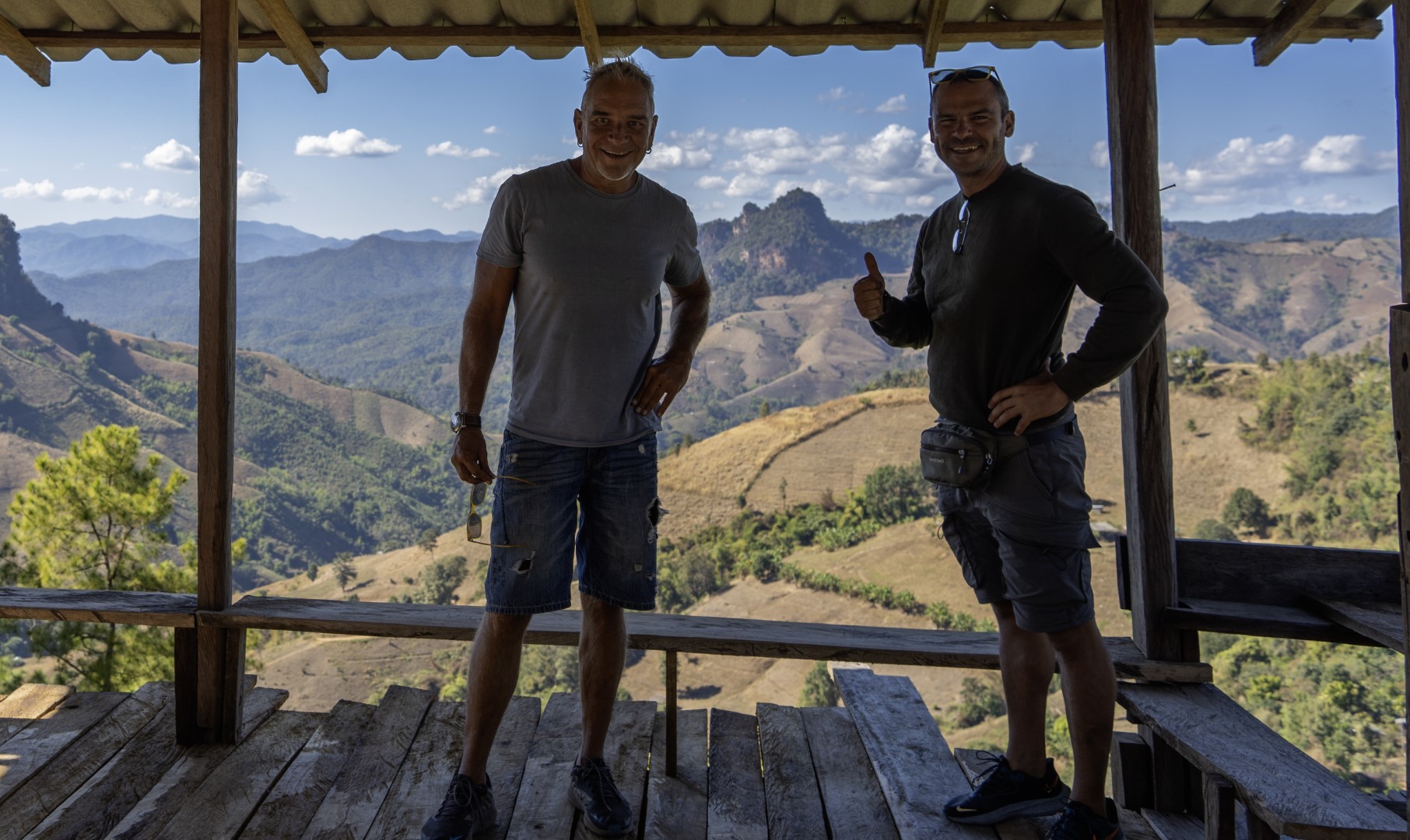
Our first tour is the iconic Mae Hong Son loop to the west of
Chiang Mai. As shown in the map below it is at least 500kms and it takes at
least three days, but it may become much longer depending on your exploration
mood. We started with direction northwest. The first picture below is from a
waterfall (in north Thailand there is always some waterfall near you, when you
are on the road). The second one is at the entrance of Pai, the village where
we had our first stay. Pai is rather touristic, with visitors enjoying the
relaxed way of life, various outdoor activities and marijuana (legal in
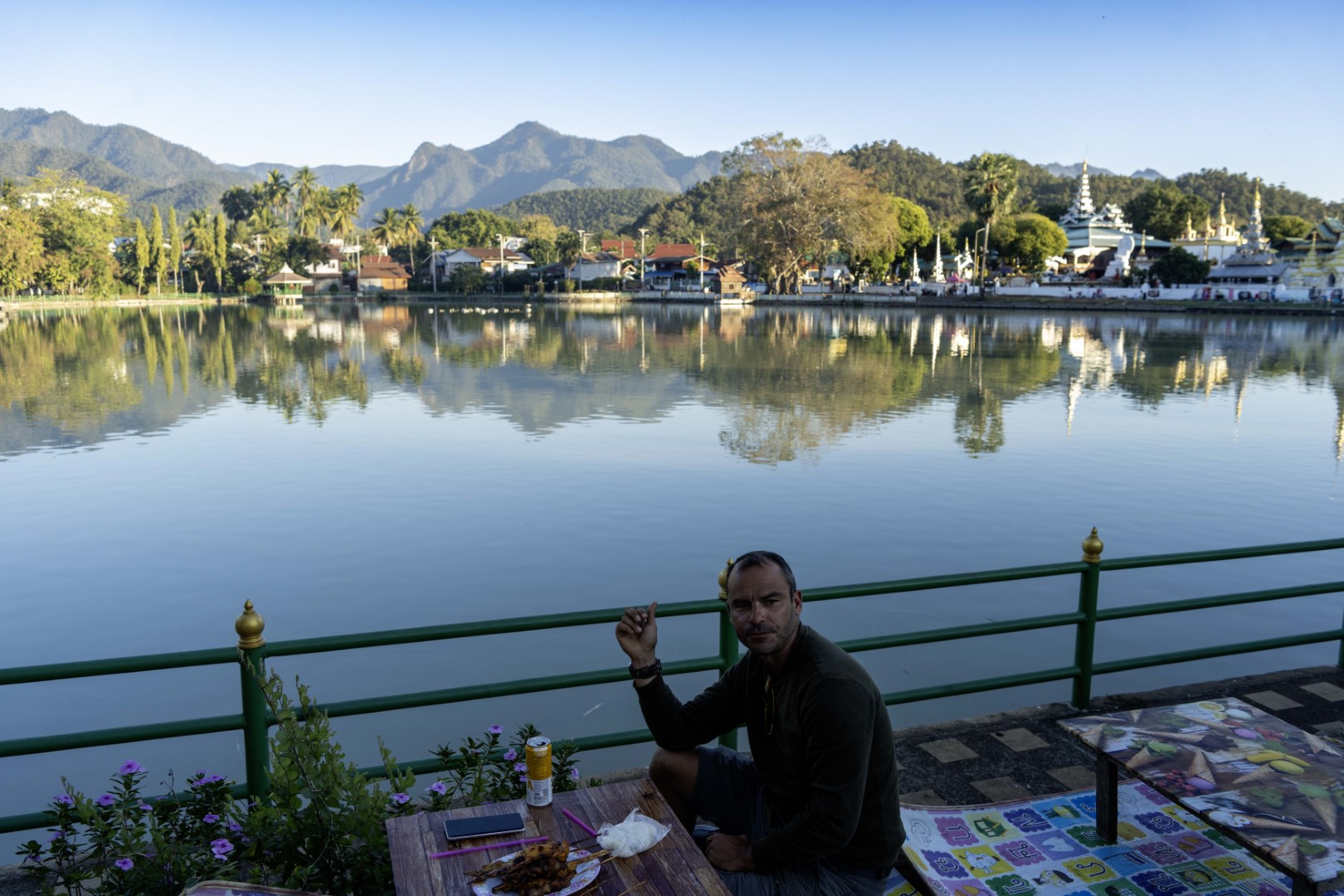
Thailand). The second day we travelled from Pai to Mae Hong Son, the capital of
the province with the same name. We did several detours to visit mountain peaks
and traditional villages (third picture below). Such detours are usually short
(up to 10-15km) and worth it. Mae Hong Son is a sleepy town. However, we were
lucky to find a street food market when we arrived and enjoyed our dinner by
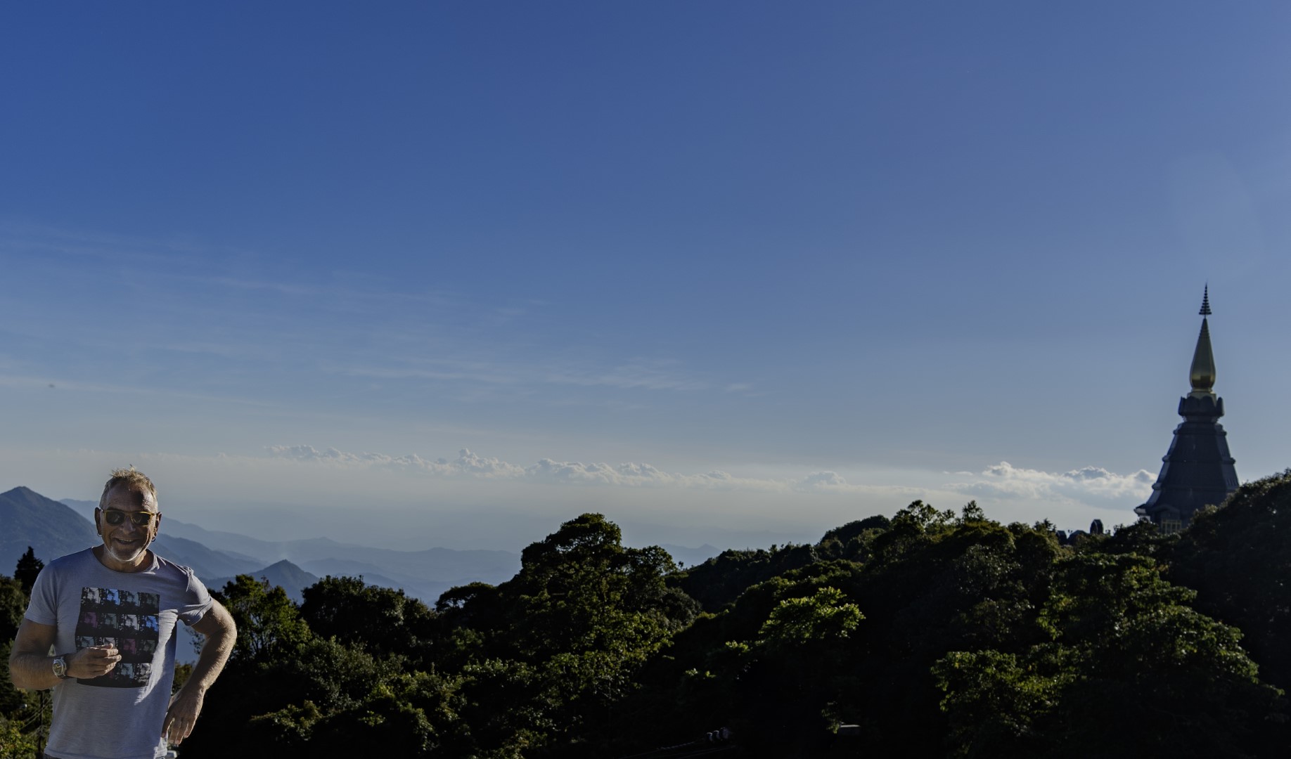
the lake (fourth picture).The last day involved more mountains, including Doi Inthanon with the
highest peak (2,565 meters) in Thailand. The last two pictures below are near
that peak - the road goes all the way to the top, but bring a jacket.

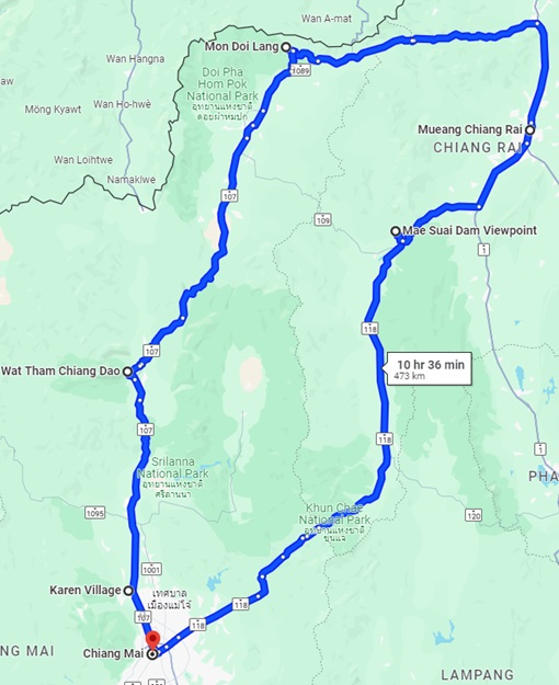
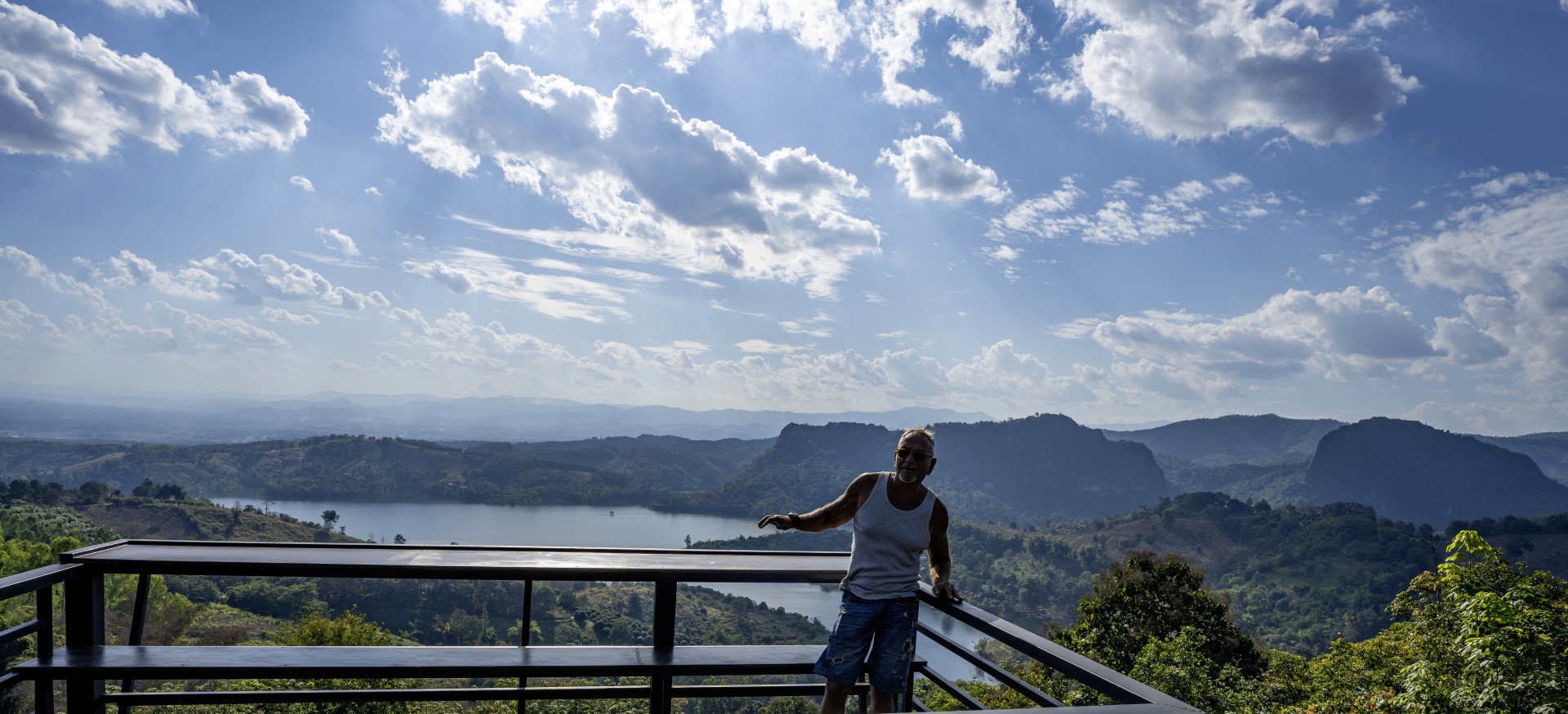
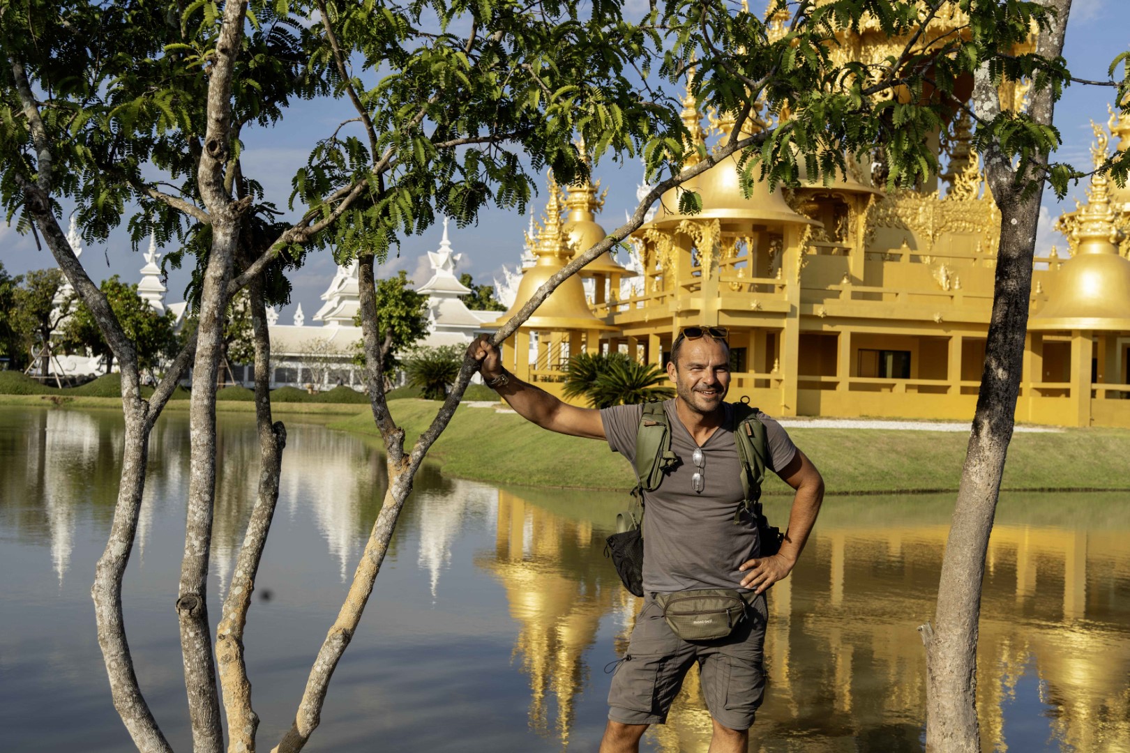
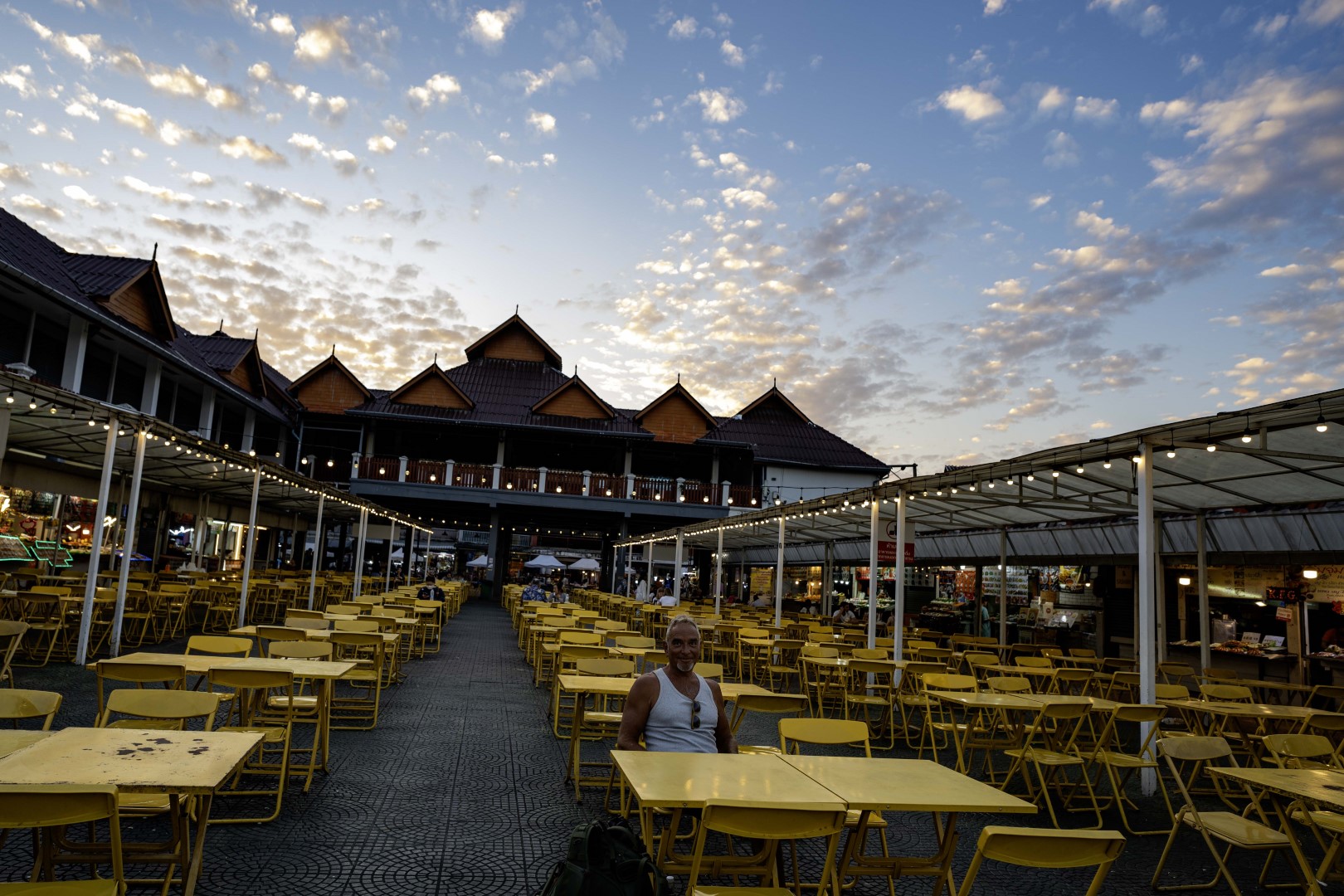
The next tour was north of Chiang Mai and included an overnight in Chiang Rai,
the second largest city in the area. The main road to Chiang Rai is the, mostly
flat, highway 118. It is worth stopping at Mae Suai Dam viewpoint (first
picture below). Before entering Chiang Rai, you can also visit the White Temple (second
photo), one the area's main attractions. Compared to Chiang Mai, Chiang Rai is
much smaller and limited in terms of nightlife. However, its food night market
is far superior (third picture). The second day of the trip we took the long
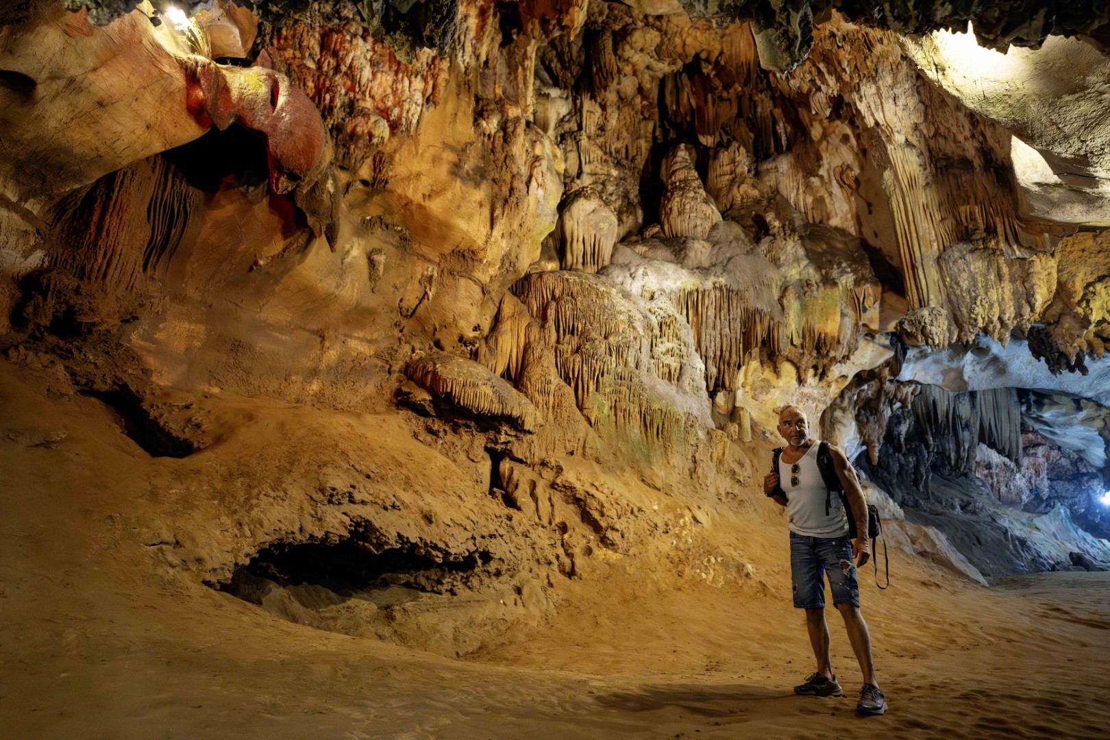
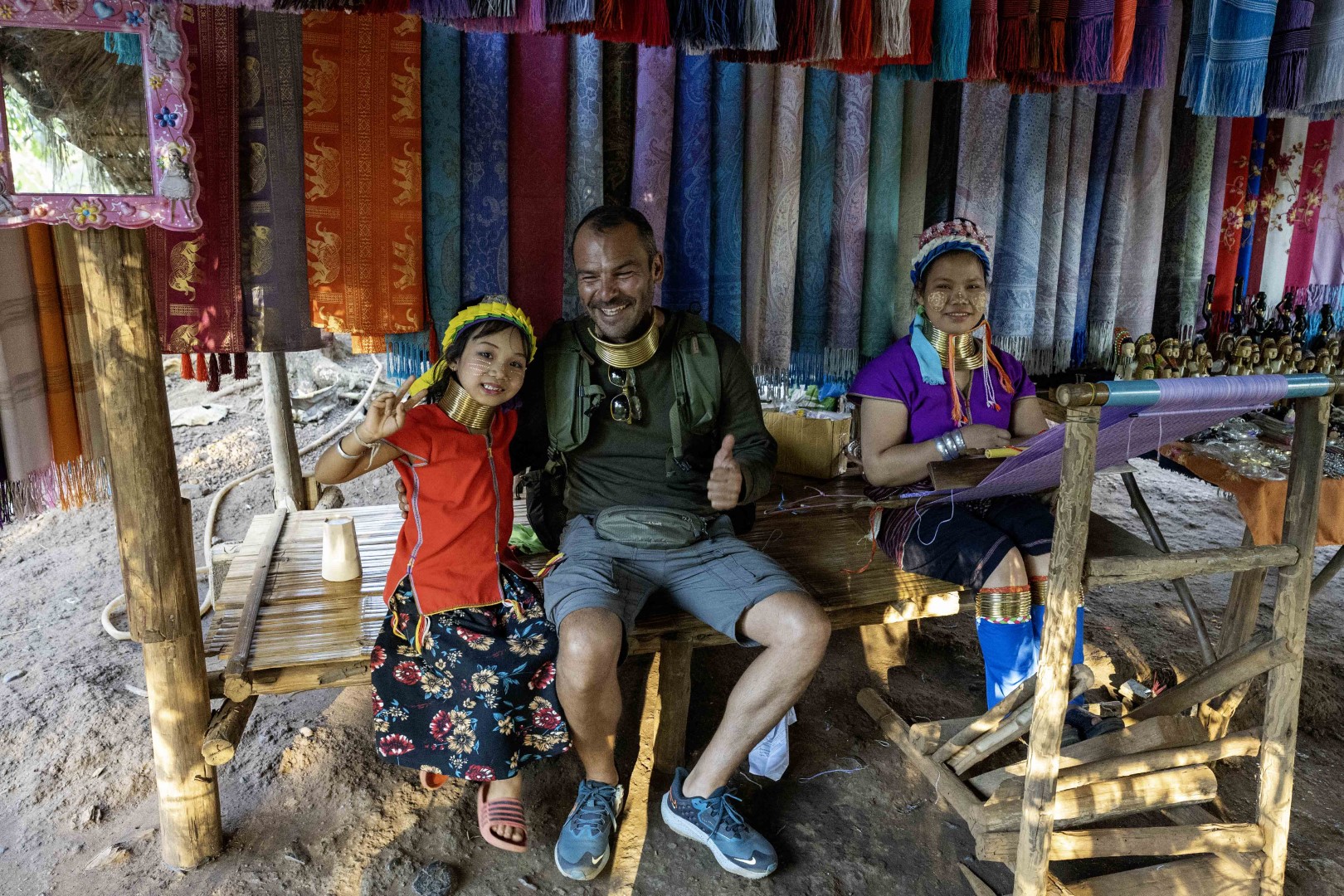
way back to Chiang Mai, visiting Doi Pha Hom Park (fourth photo), the Cave
Temple at Chiang Dao (fifth picture), and Karen
Village with the long neck women (sixth photo). Less challenging than the
Mae Hong Son loop, but with interesting places to visit.
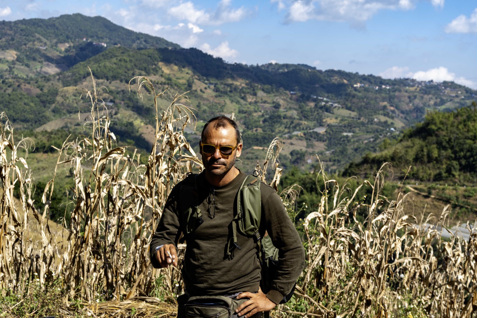
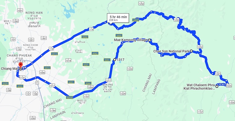
The destination of the third trip was the Sky
Pagodas in Lampang (Wat Chaloem Phra Kiat Phrachomklao Rachanusorn in
Google maps). It was the most enjoyable day of riding during the entire tour.
The first part was highway 118, that we took to Chiang Rai before. After
exiting 118, we passed through a beautiful gorge with picturesque villages and
(the usual) waterfalls, and ended up at several peaks and viewpoints (first and
second photo). When we eventually reached the pagodas, we had to take a pickup
truck to the base of the mountain (no private vehicles allowed), where we
realized that the visit still requires 800 meters of climbing steep steps. This
was well above our daily quotas for climbing and we turned back. The third
photo makes fun of our situation - if you try hard, you can imagine the roofs
of the pagodas at the top of the mountain behind me. Despite getting late, and
Google map's advice, we decided to ride back to Chiang Mai through Chae Son
National Park. The road is narrow, full of tight curves, and passes through
uninhabited forests and streams. It also has some of the steepest uphills that
I have ridden in my life (worse than those of Mae Hong Son loop, which are the
second steepest). Surprisingly, while we had not encountered any sign of human
life for several kilometers, the GPS indicated heavy traffic 500 meters ahead
of us. We thought that this was a mistake, but it turns out that it was Mae Kampong Village,
a resort popular with Thai people (last photo). After the village, the rest of
the route to Chiang Mai became easier, faster and more boring.
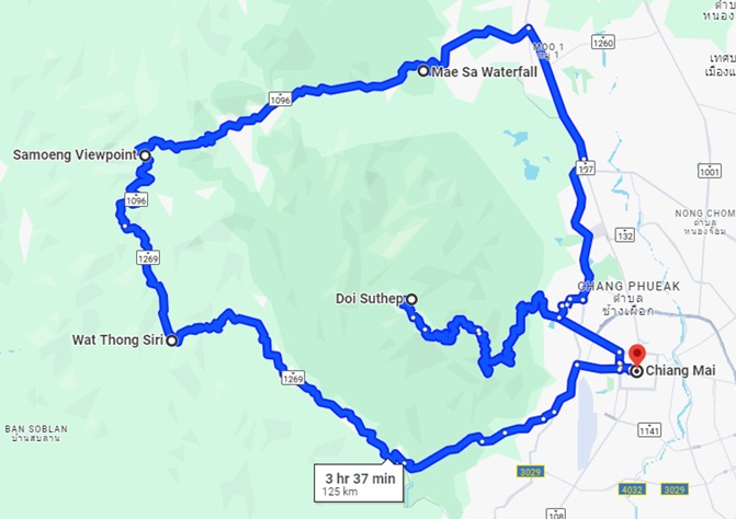
The last tour in northern
Thailand, called the Samoeng loop, was the shortest and the
"lightest" in terms of challenges. We started from Doi Suithep, the mountain
west of Chiang Mai. In addition to a palace and one of the most sacred
temples in Thailand, the mountain provides impressive views of Chiang Mai
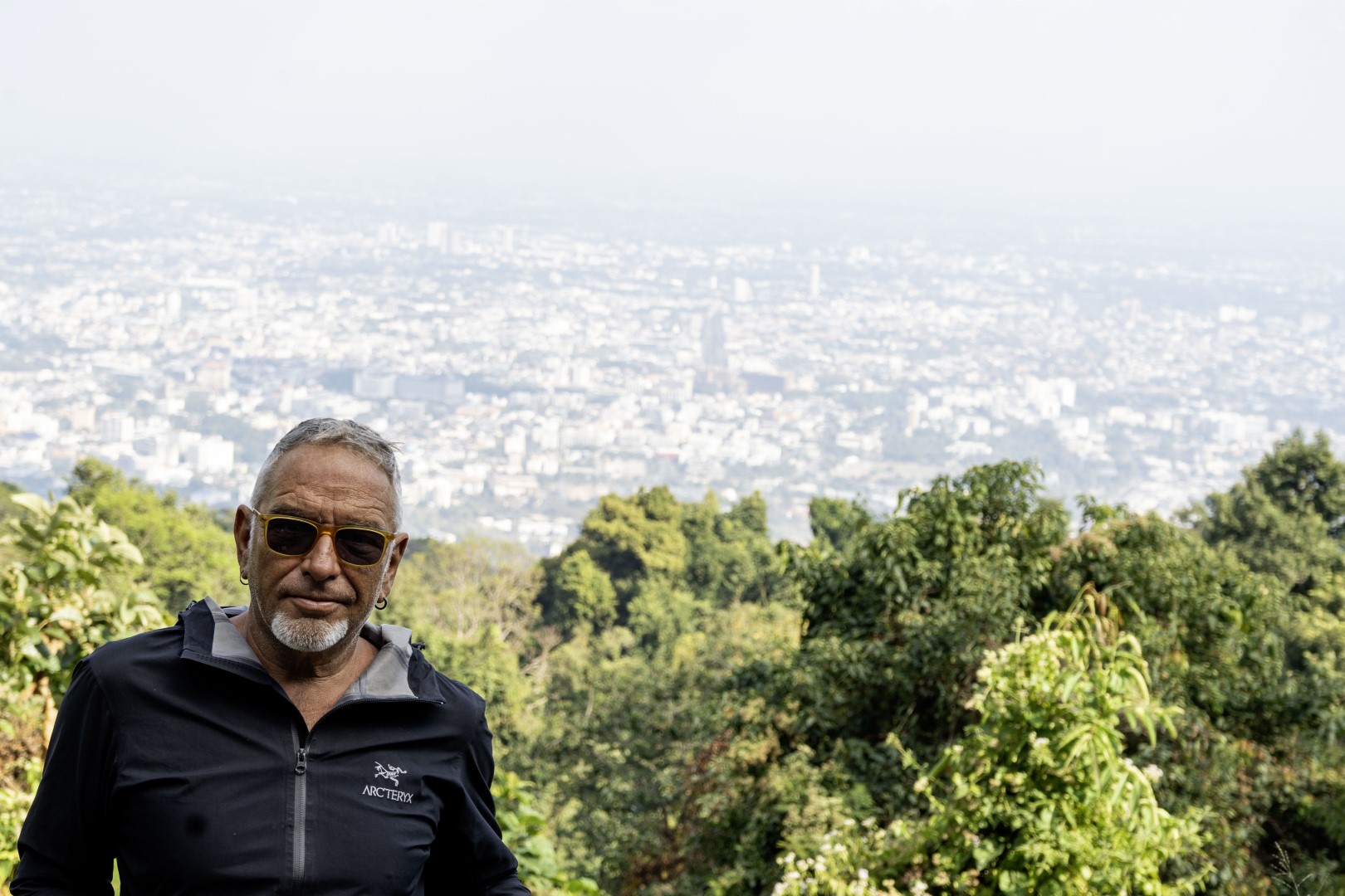
(first photo below). We next visited Mae
Sa waterfall, which is 1.5 km long and has several nice coffee shops next
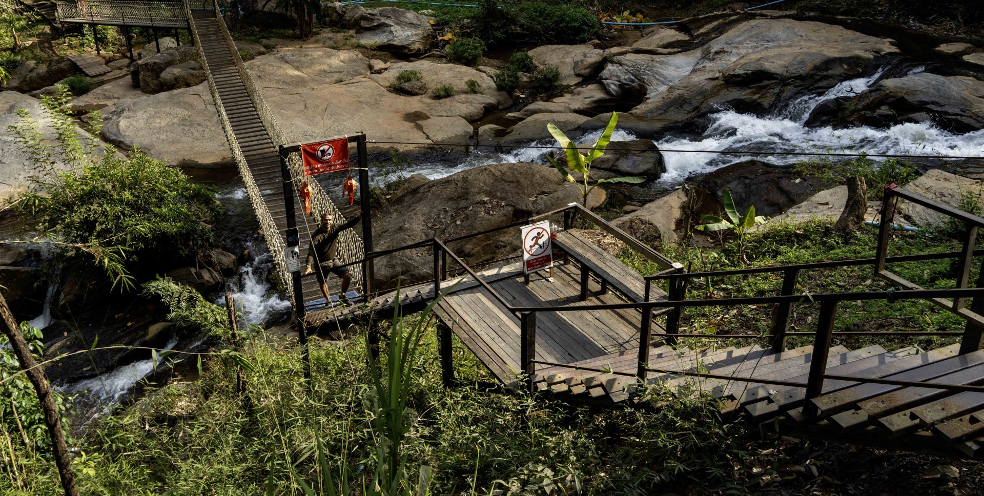
to the water (second photo). Finally, we took the usual mountain view photo
(third one) at Samoeng viewpoint. Although less interesting than the other
trips, the loop offers a convenient way to spend a day. After finishing all
bike tours (and bars) that we could find in Chiang Mai, we took the next flight
back to Hong Kong.
Thailand is one of the best places for bike tours that I have
seen. In addition to the amazing landscape, it is cheap (especially the
non-touristic places), the food is excellent, the roads are good, and the
drivers are careful. Even the policemen are helpful. I was stopped the only
time that I did not have my international driving license on me, and the
policeman suggested to go and pick it up from my (nearby) hotel - in other
countries this is standard excuse for a bribe. I especially enjoyed north Thailand
(it was my first time there). The beautiful rides in the mountains compensate
for the lack of beaches. Moreover you avoid the crowds and the heavy traffic of
touristic places like Phuket, Koh Samui and Krabi. And if you want to go
swimming, there is always some waterfall in the vicinity.
Bonus
Drone video: beach north of Kao Lak and our hotel in Ko Pha Ngan.
Pictures: taking cover from a storm in south Thailand and random
mountain in the north.

2022 December – 2023 January
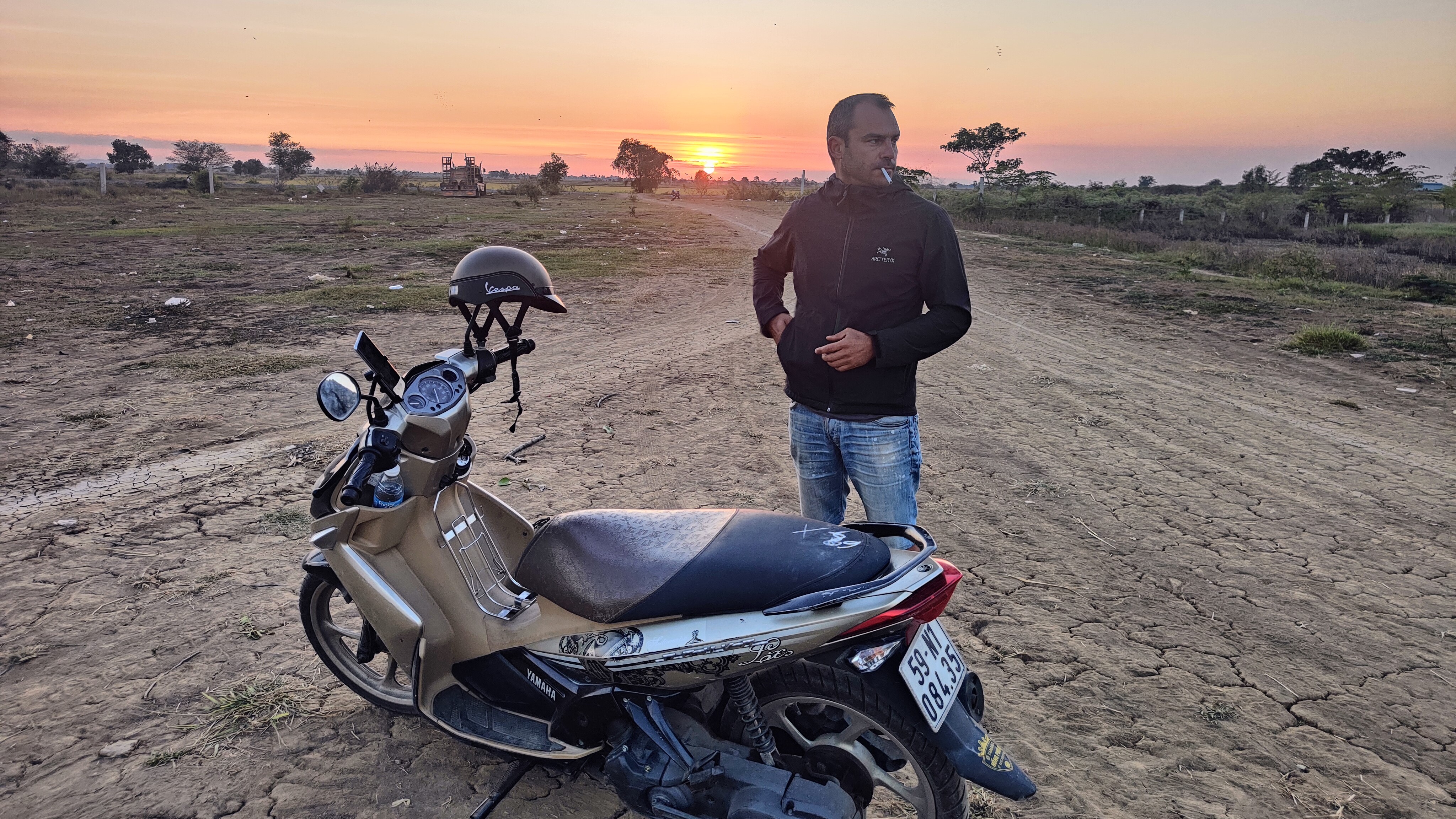
South Vietnam, Cambodia: With Andreas and 2 Yamaha 135 Cubs.
After a long break, mostly due to
the COVID pandemic, we did the "Back to the Basics" tour of South
Vietnam and Cambodia. I call it "Back to the Basics" because we
rented cubs, which is the standard learner's motorbike for most young riders in
Greece, including me. In addition to nostalgia, there are practical reasons
that we selected cubs. First, they are easy to ride. Especially in Vietnam, a
heavy motorbike would be unmanageable due to traffic. In Saigon
entering/exiting a roundabout can be a traumatic experience. Second, they are
reliable, and even if there is a problem, it is easily fixable. We had an issue
with a carburettor in Mui Ne, and a local mechanic fixed it within two hours
for 5 Euros. Third, they are inconspicuous. Attracting attention with a big
bike (in places that there are very few), is not good for thieves, policemen
and custom crossings. There is bike theft in Vietnam, and we heard that
policemen may ask for the occasional bribe. We paid a small bribe at Customs to
enter Cambodia. Finally, renting cubs is very cheap (as low as US $100 for a
month, or $5 per day). We were very happy with our choice because their maximum
travel speed of around 90km/hour is more than enough for any road that we
encountered. Even if we had bigger bikes, going faster would be very dangerous
due to traffic/road conditions, animals, kids, kids with bikes/bicycles,
strange three-wheel vehicles carrying even stranger things, etc.
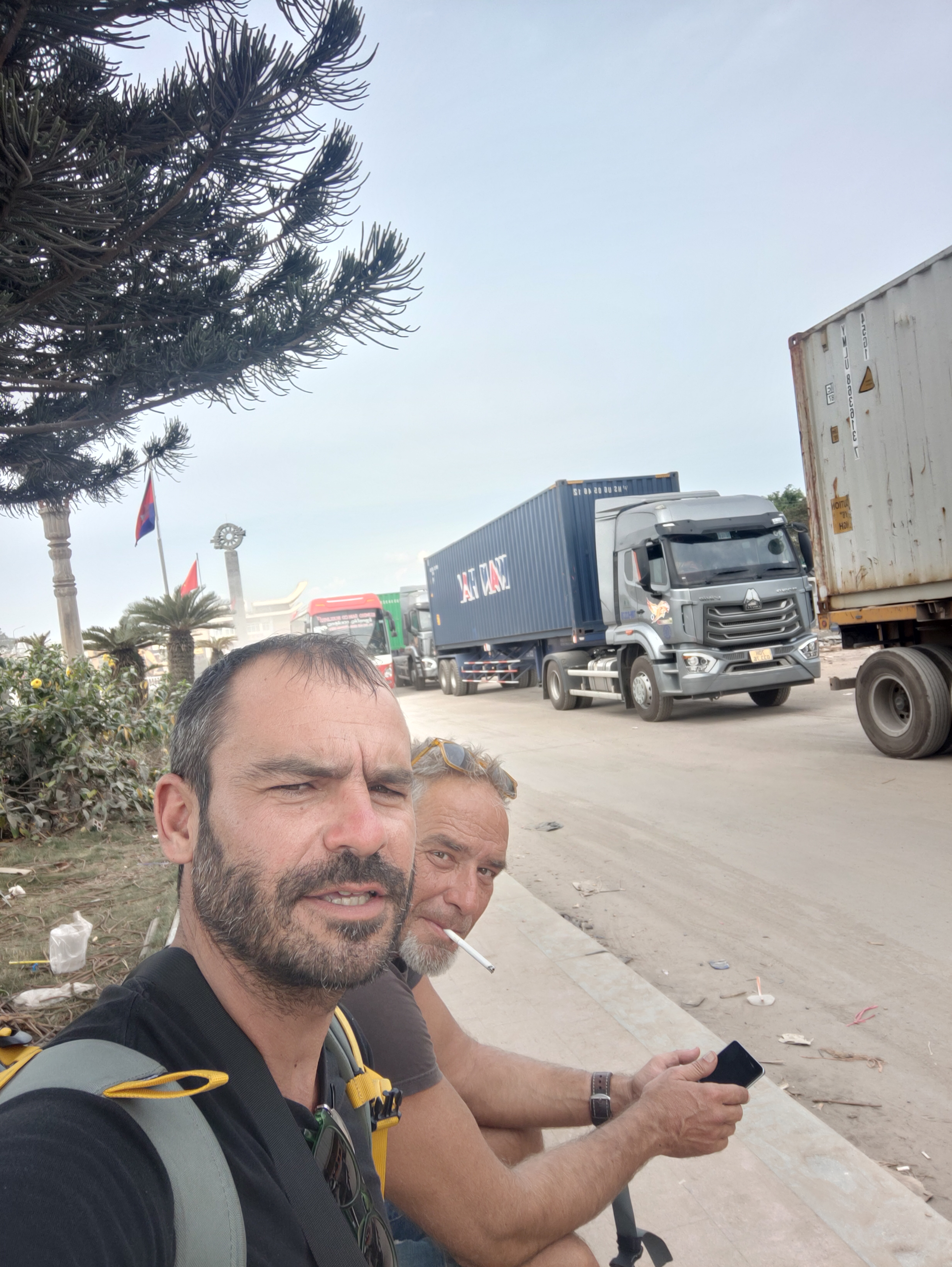
We started the trip in Saigon, now called Ho Chi Minh, where we
stayed a couple of nights. I had been there before, and the most distinguishing
characteristic that I can think of is the heavy traffic. Everybody has the
right of passage independently of the type of road that they enter, their
direction (including opposite direction), type of vehicle (bicycles to trucks)
etc. Driving accessories such as turn lights, mirrors or brakes are rarely
used. Instead everybody presses the horn all the time, expecting every other
driver (who also peeps incessantly) to pay attention. Even crossing a busy
street on foot is challenging. Compared to some years ago, when most of
the traffic was due to cubs and small scooters, now there are many more cars,
including some very expensive ones, such as Rolls Royce and Lamborghini. In
general, there was a feeling that the whole country is under development, with
shiny luxurious buildings next to poor run-down neighbourhoods. We rented
from Dragon Bikes - Patrick
was helpful and importantly easy to communicate in English (he is American). In
general, most Vietnamese do not speak English, and I suggest to have Google
translate readily available, with Vietnamese downloaded, especially in
non-touristic areas (e.g., do not always expect restaurant menus in English).
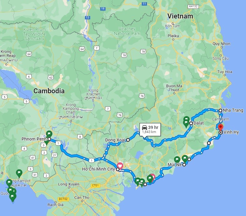
From Saigon, we headed towards the sea and our first destination
Mui Ne. The map below covers the first part of our trip in South Vietnam, until
reaching Cambodia. Note that Google Maps show that the travel time for 1843km
is 39 hours. Indeed, it was mostly accurate. Also note that this was the dry
season. I would not consider at all a trip (to any tropical destination) during
the rainy season because it may pour for weeks in a row, which combined with
the road and traffic conditions, makes driving difficult and dangerous. This is
the reason that we did not go to North Vietnam although there are some
impressive routes in the mountains. It was the first trip that we used a drone
(DJI Mini 3 Pro) for pictures, and I am very happy with the results. It really enables
some unique perspectives that are impossible with regular cameras. I even
started taking video.
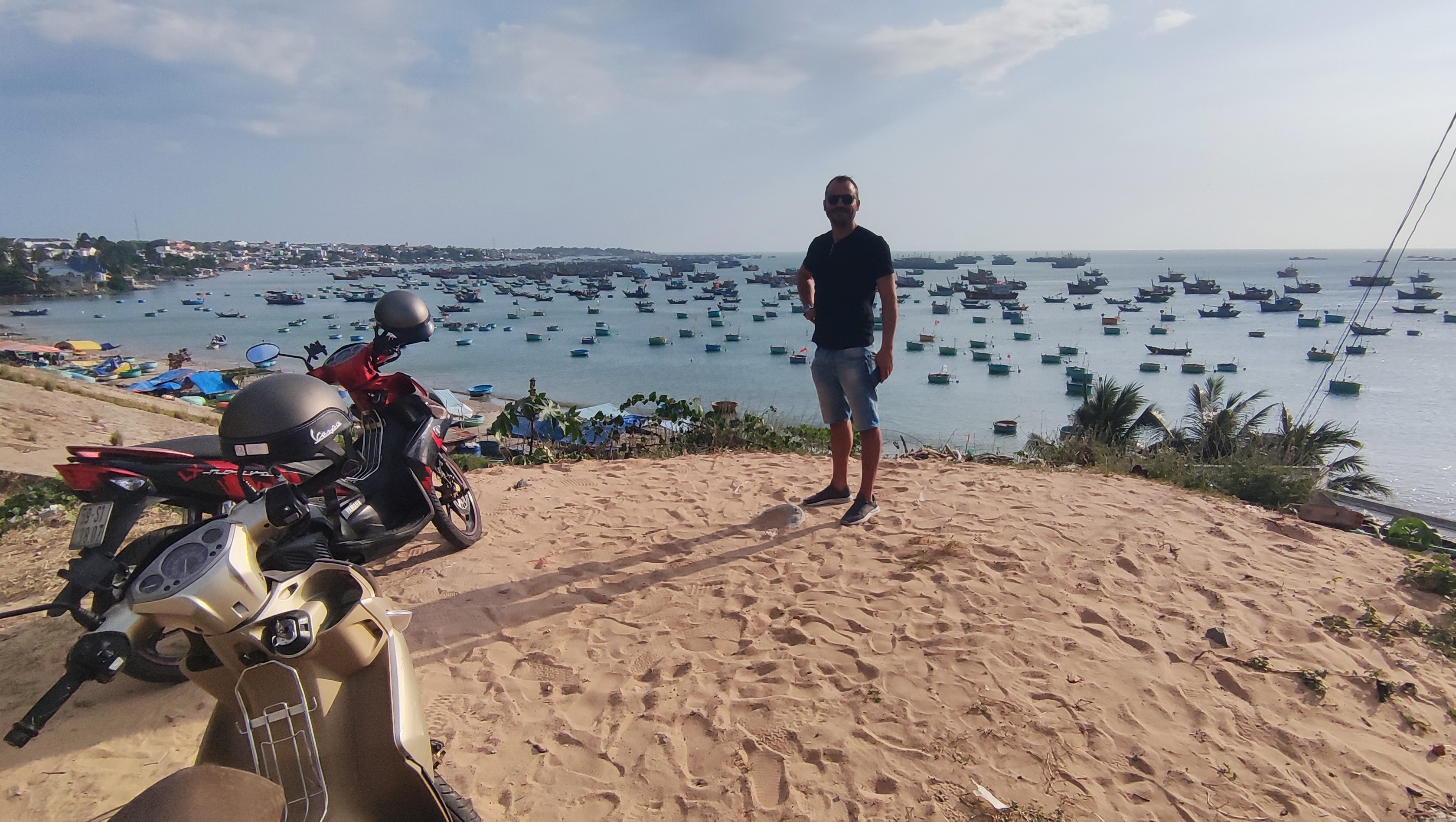
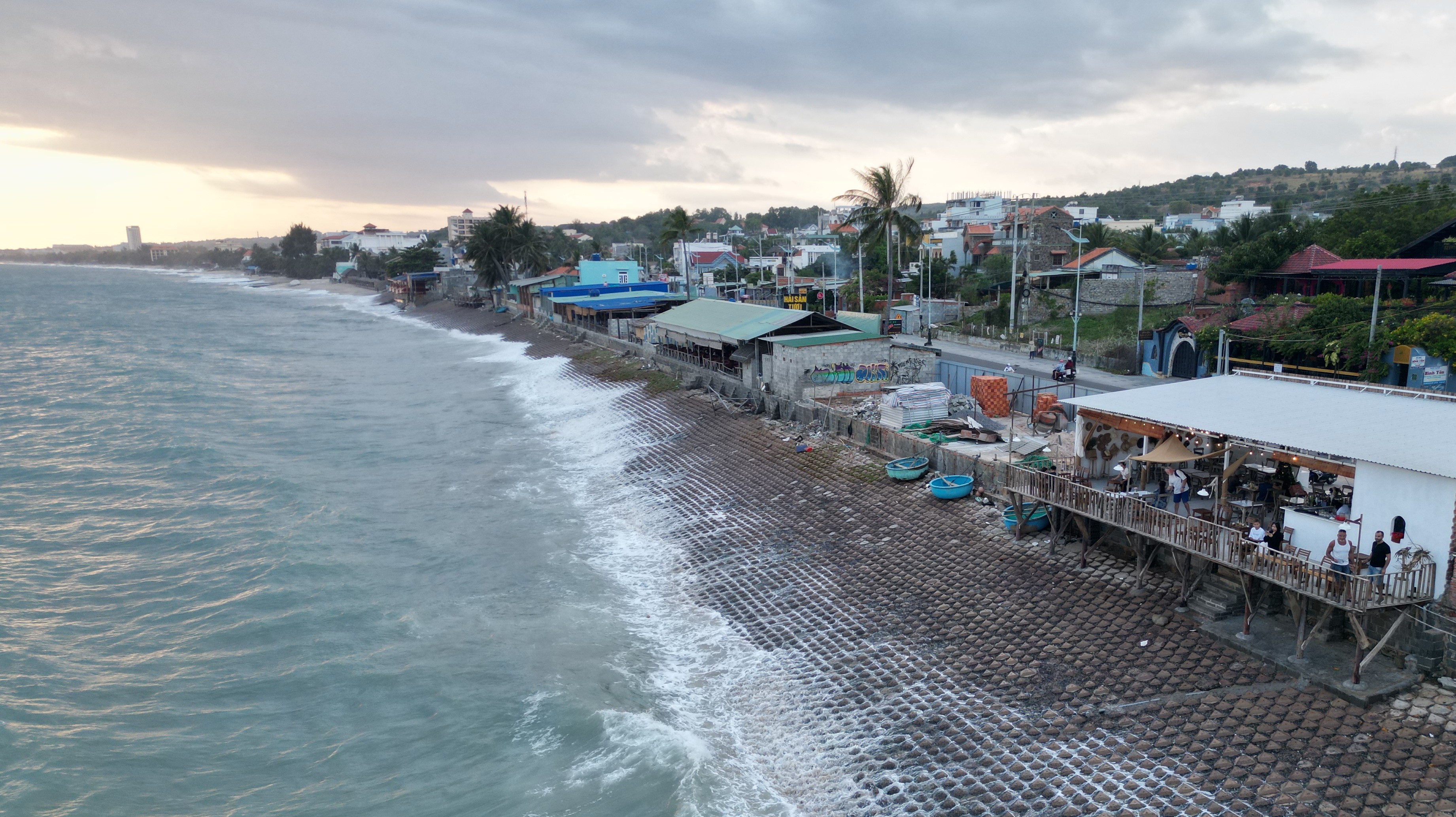
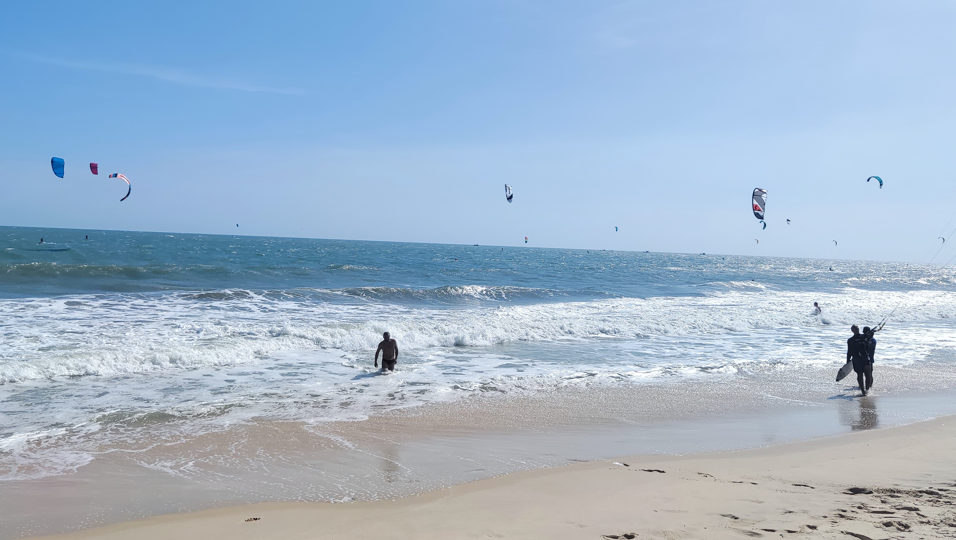
Unfortunately, during our stay
in Mui Ne it was very windy. We tried to swim but it was impossible due to the
strong currents and waves (first picture). Nevertheless, the kite-surfers had
the time of their life. Actually, this is where I had kite surf lessons about
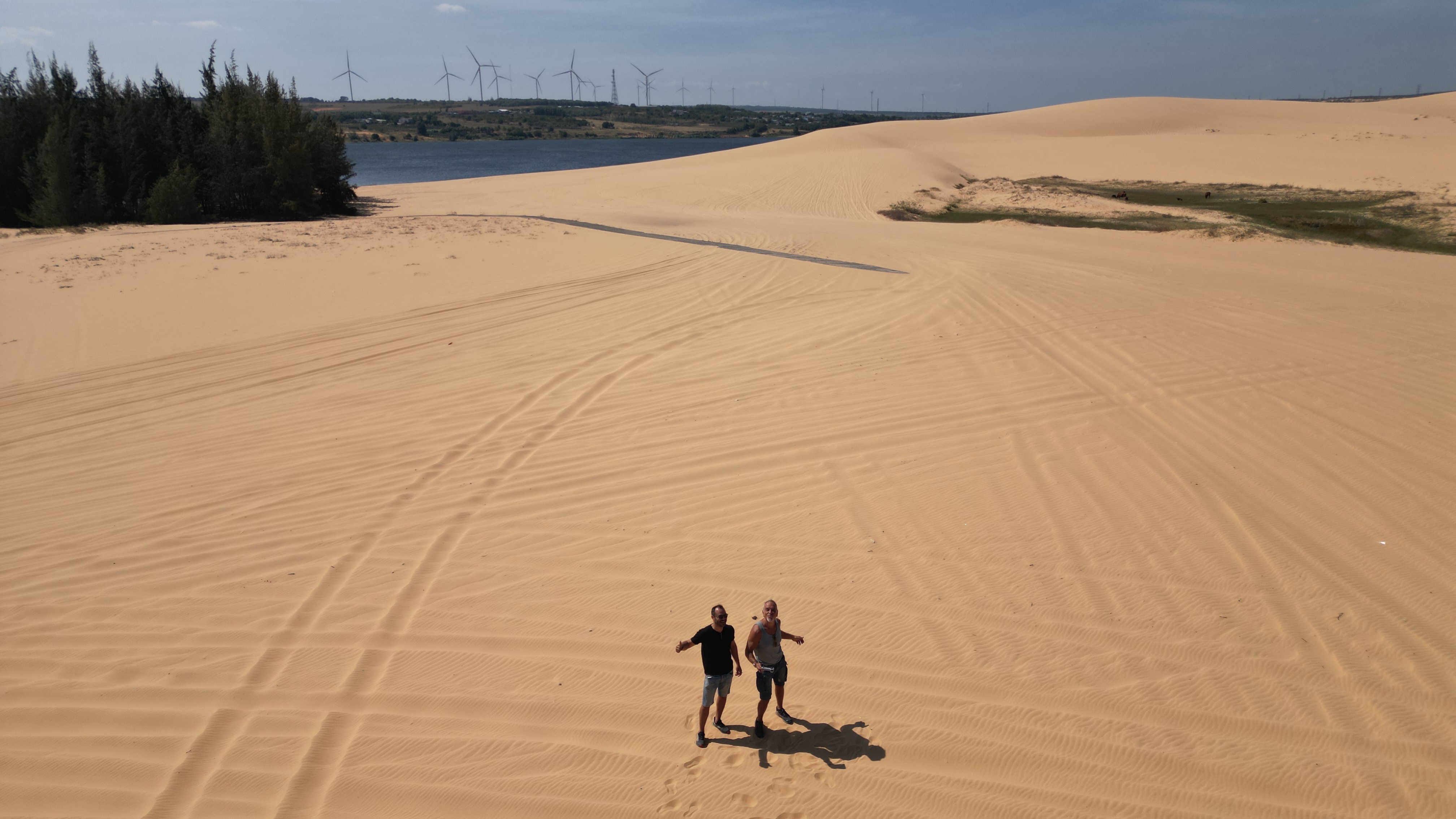
15 years ago. Just outside Mui Ne there are the white sand dunes, and a bit
further to the north, the red sand dunes (second picture), which are the
largest of the two, and a major touristic attraction. Surprisingly, they were
empty when we went (see video at the end).
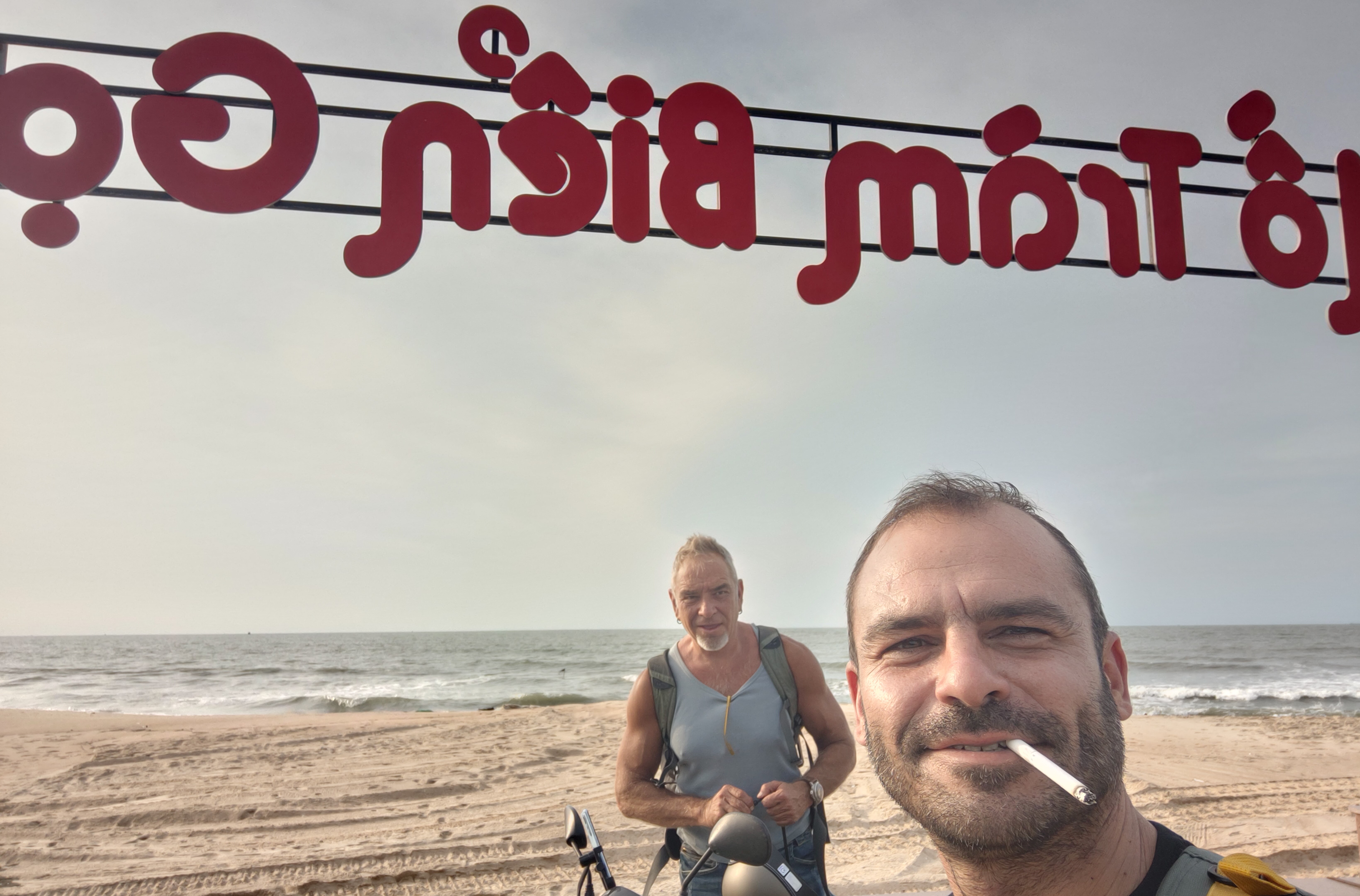
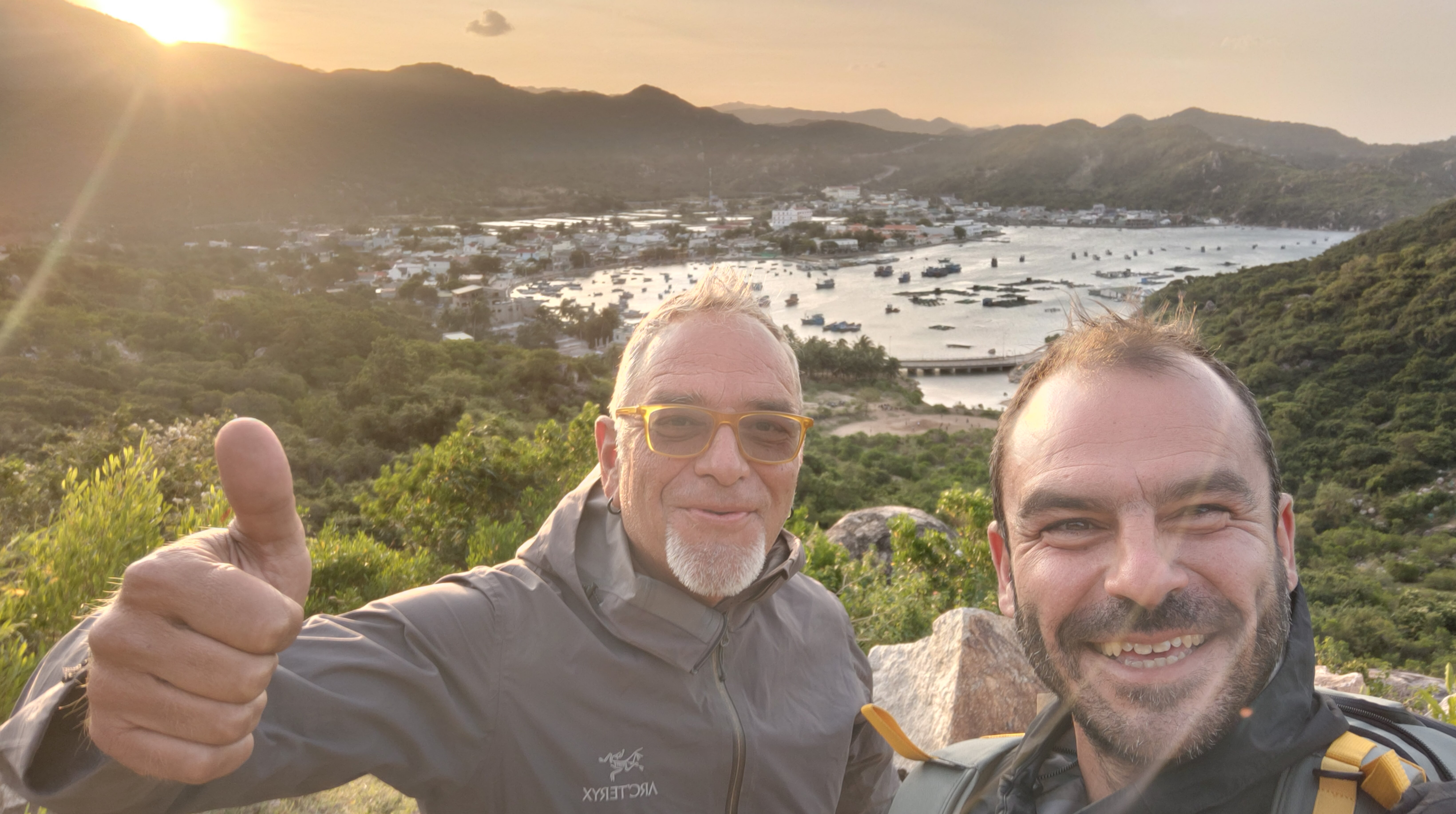
After Mui Ne, we headed
towards Nha Trang, the major
coastal city in Southern Vietnam. We did a detour from the directions of Google
Maps in order to visit Vinh Hy, which was worth it as it was the most scenic
route on the coast. The first picture is outside Vinh Hy, and the second
one at a coffee shop at the port, where we enjoyed our Vietnamese ice coffee.
Unfortunately, we were
disappointed in Nha Trang. First, despite
being supposedly in the middle of high season, there were not really enough
visitors, or vibe, to justify the huge number of hotels. In addition, the
weather was cloudy and windy, and the beach closed (I guess due to the wind).
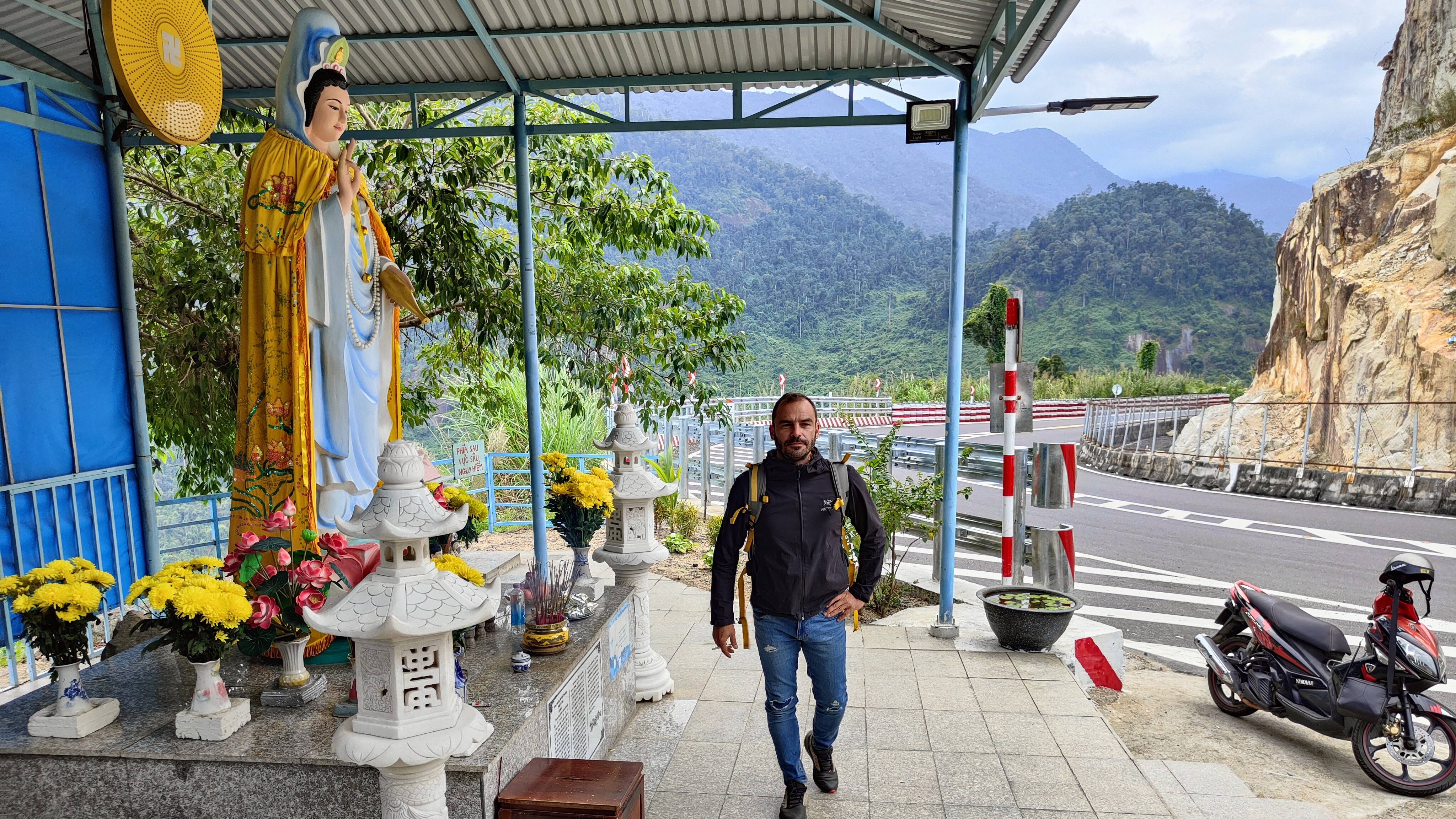
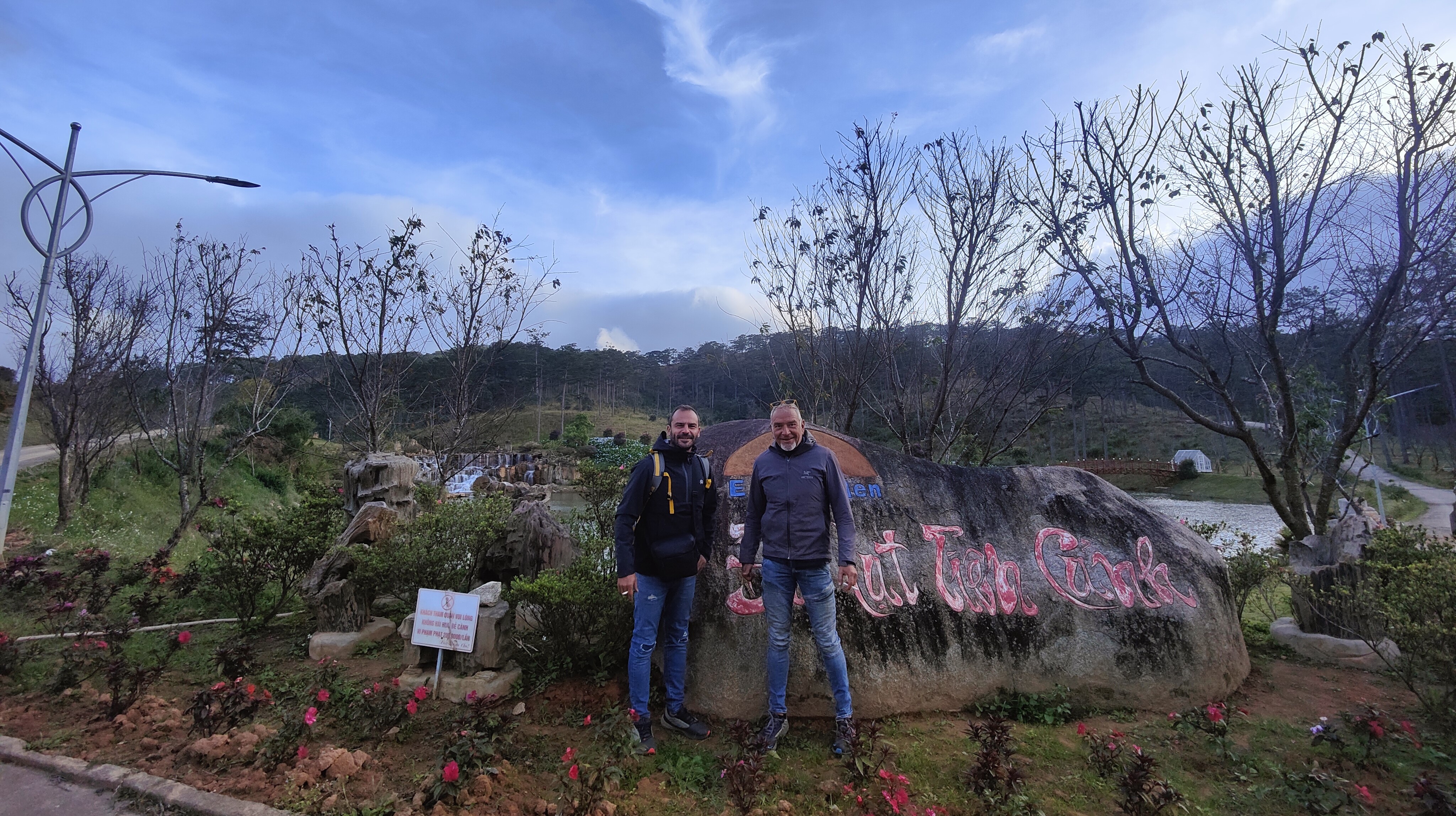
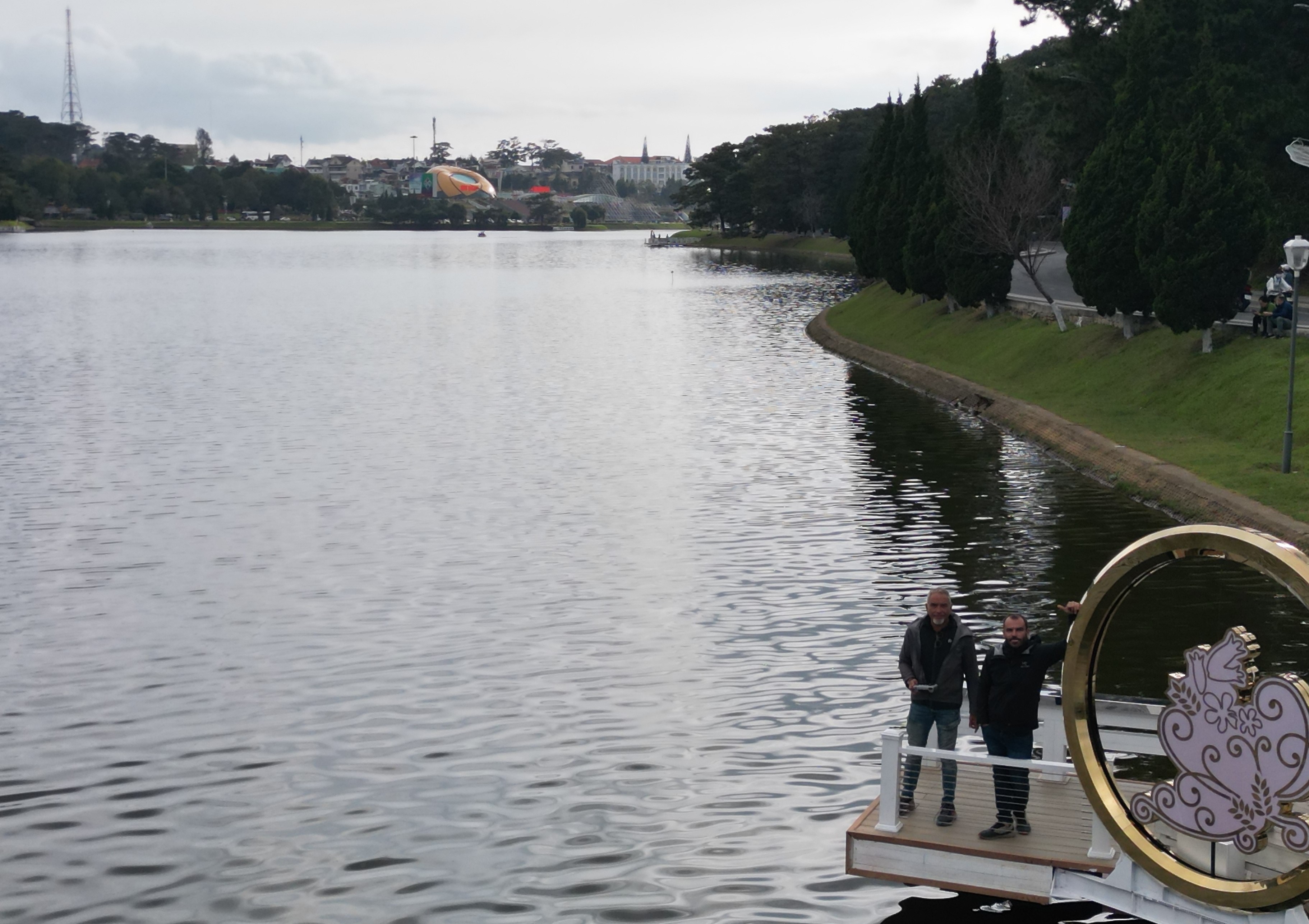
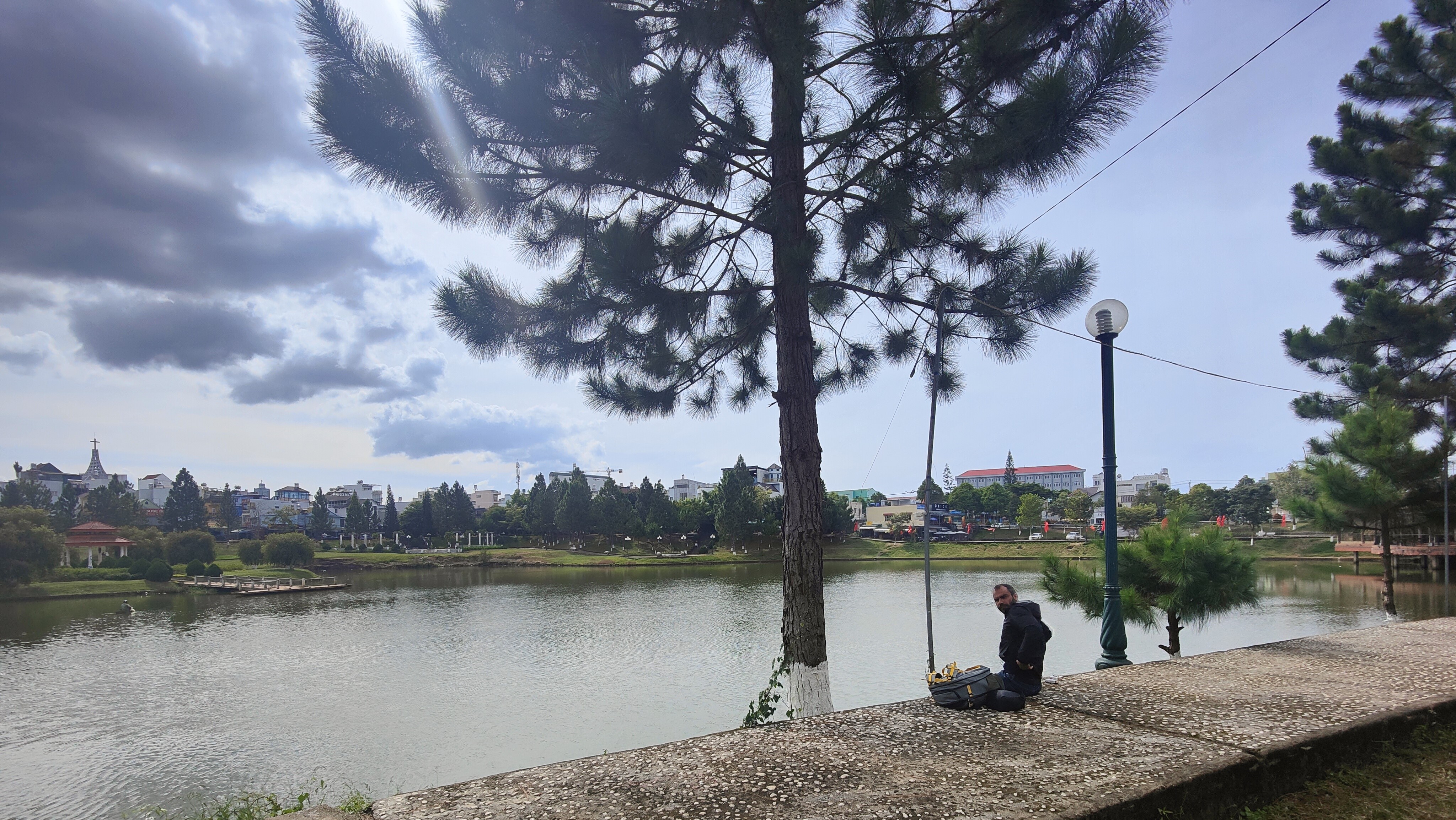
Thus, after a night there, we decided to go to Dalat. Dalat was
built by the French colonists in the mountains (altitude 1500 meters), in order
to escape the summer heat and humidity of Saigon. Getting there from Nha Trang
involves a scenic road through mountain passes (first picture) and waterfalls
(second picture). Be prepared for low temperatures (a little above 0 Celcius at
night) and possible rain along the way.
Our next destination was
Dong Xoai, near the border with
Cambodia. After leaving the mountains, the road becomes again mostly flat and
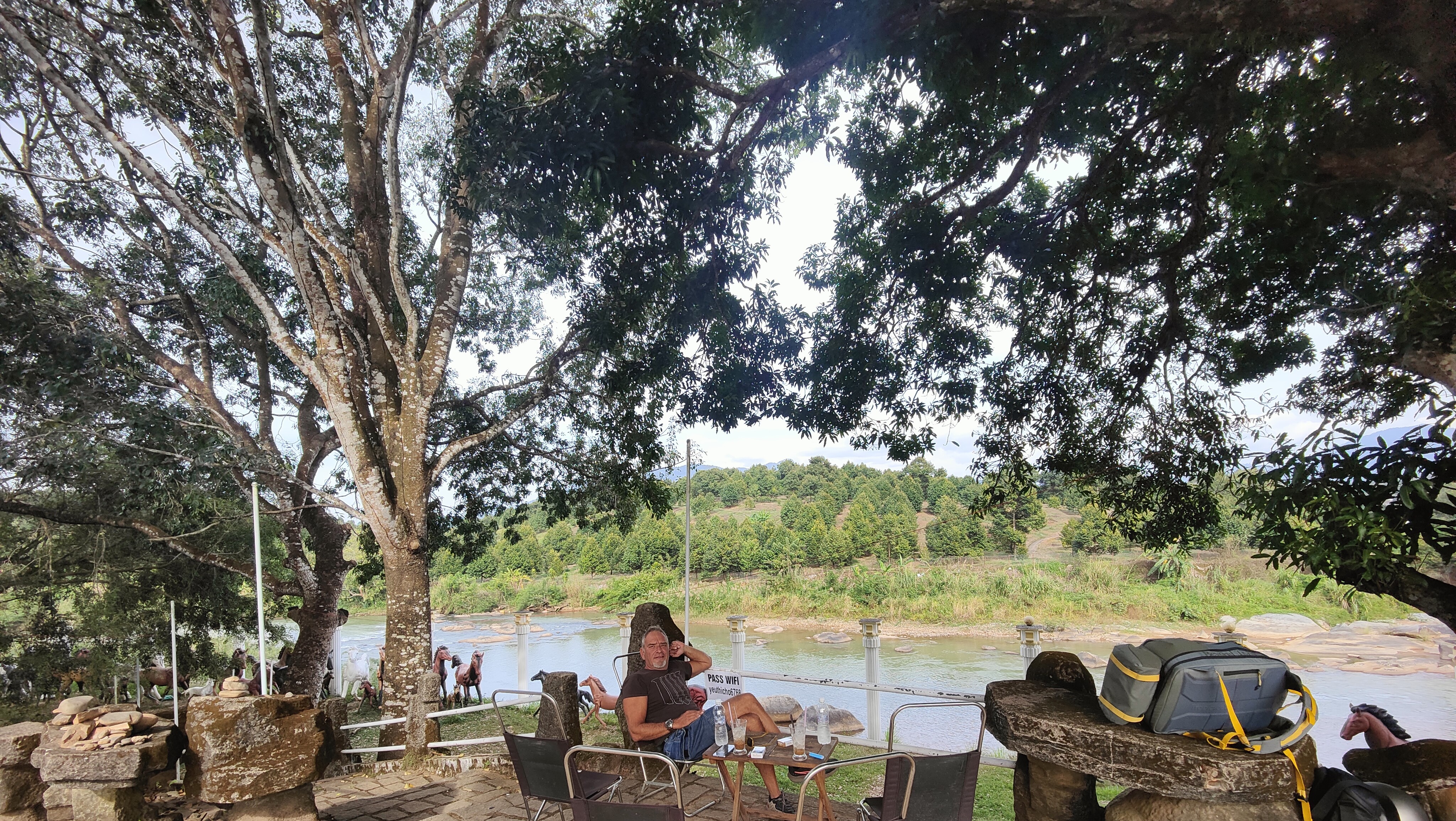
dull. We had a lunch stop in Bao Loc,
a nice town built around a lake (first picture), and a coffee break by a river
(second picture), but nothing really remarkable. Also, I did not really find
anything interesting to mention about (or take a picture of) Dong Xoai,
other than it was conveniently close to the border crossing to Cambodia.
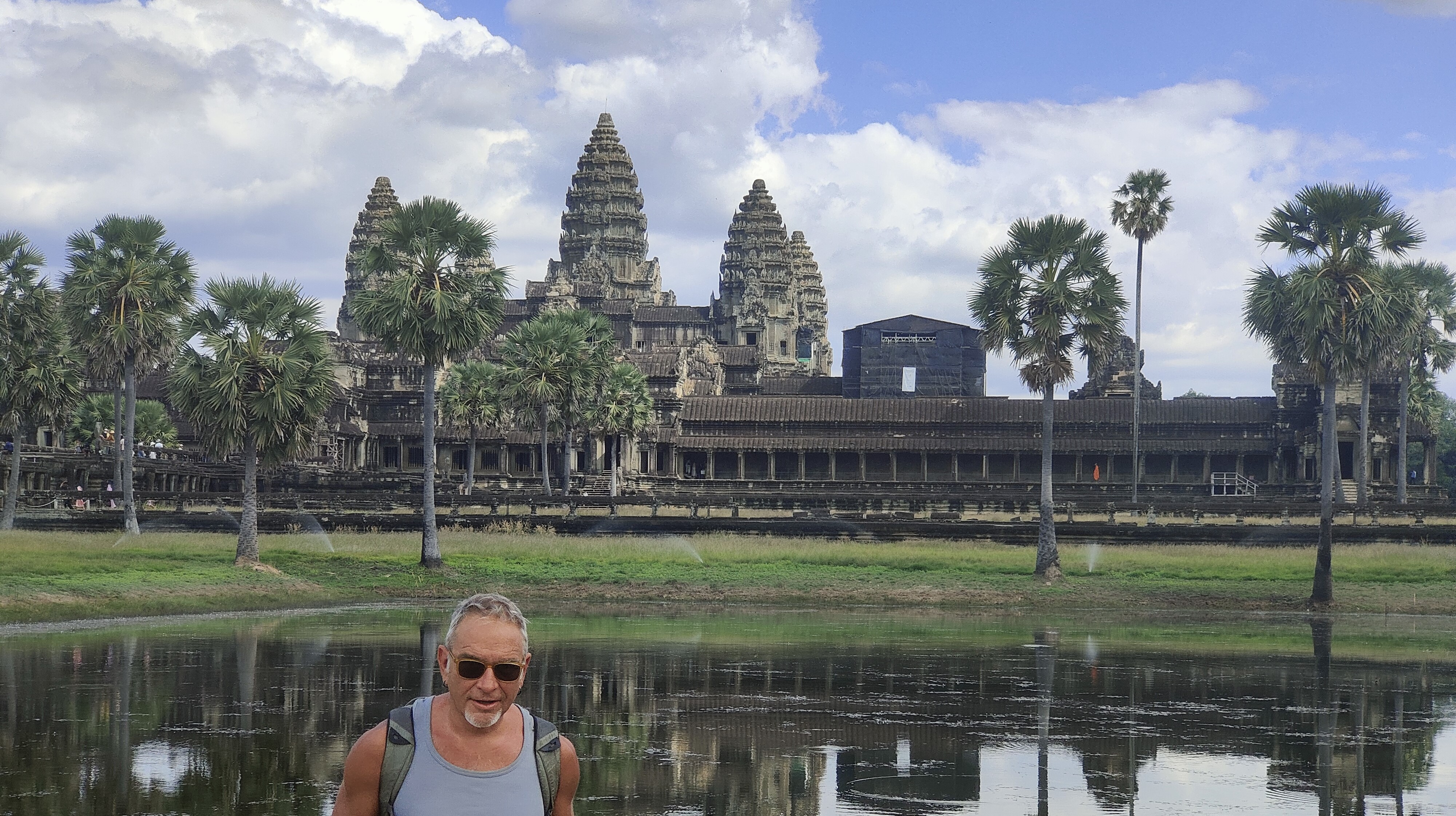
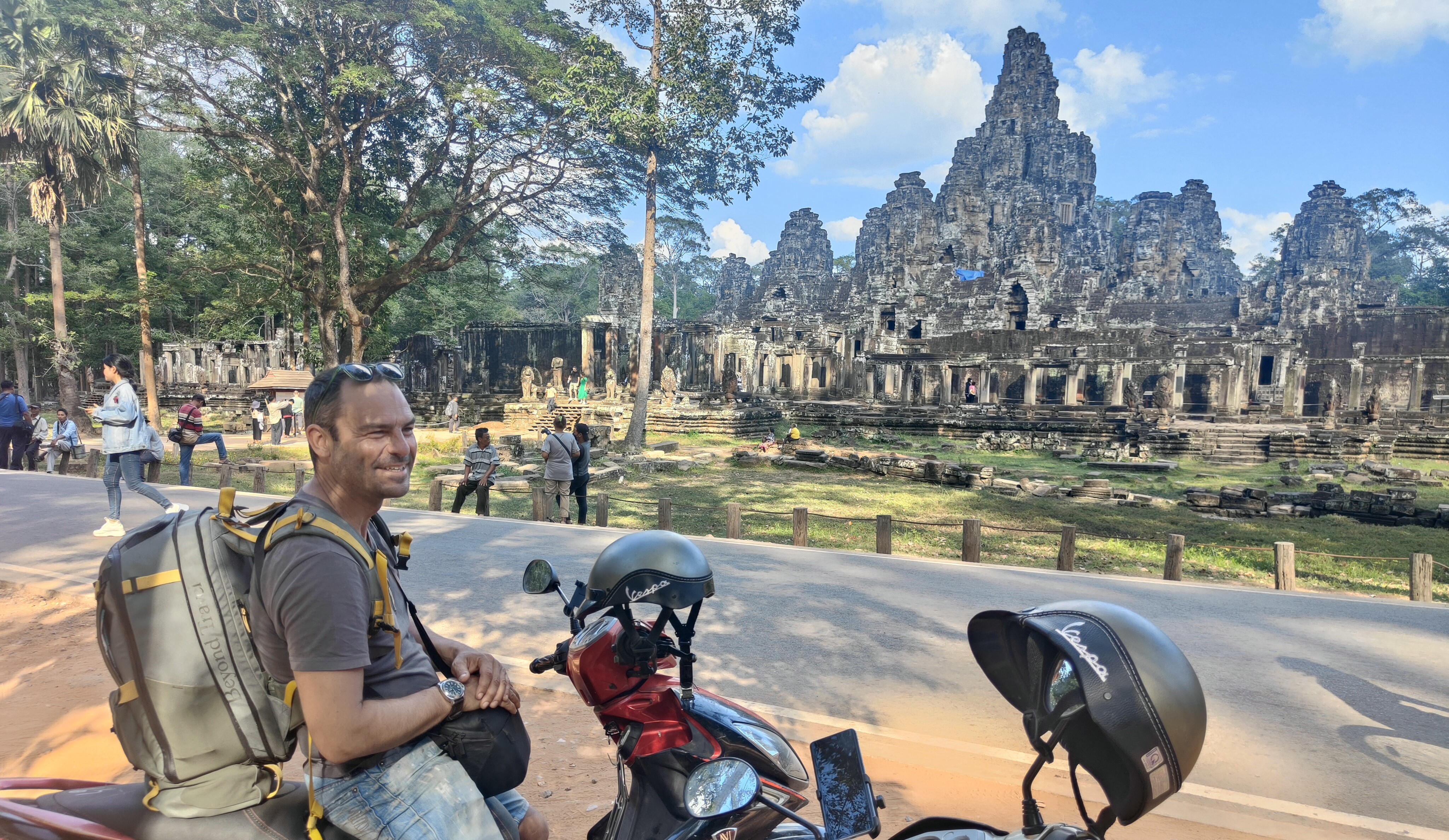
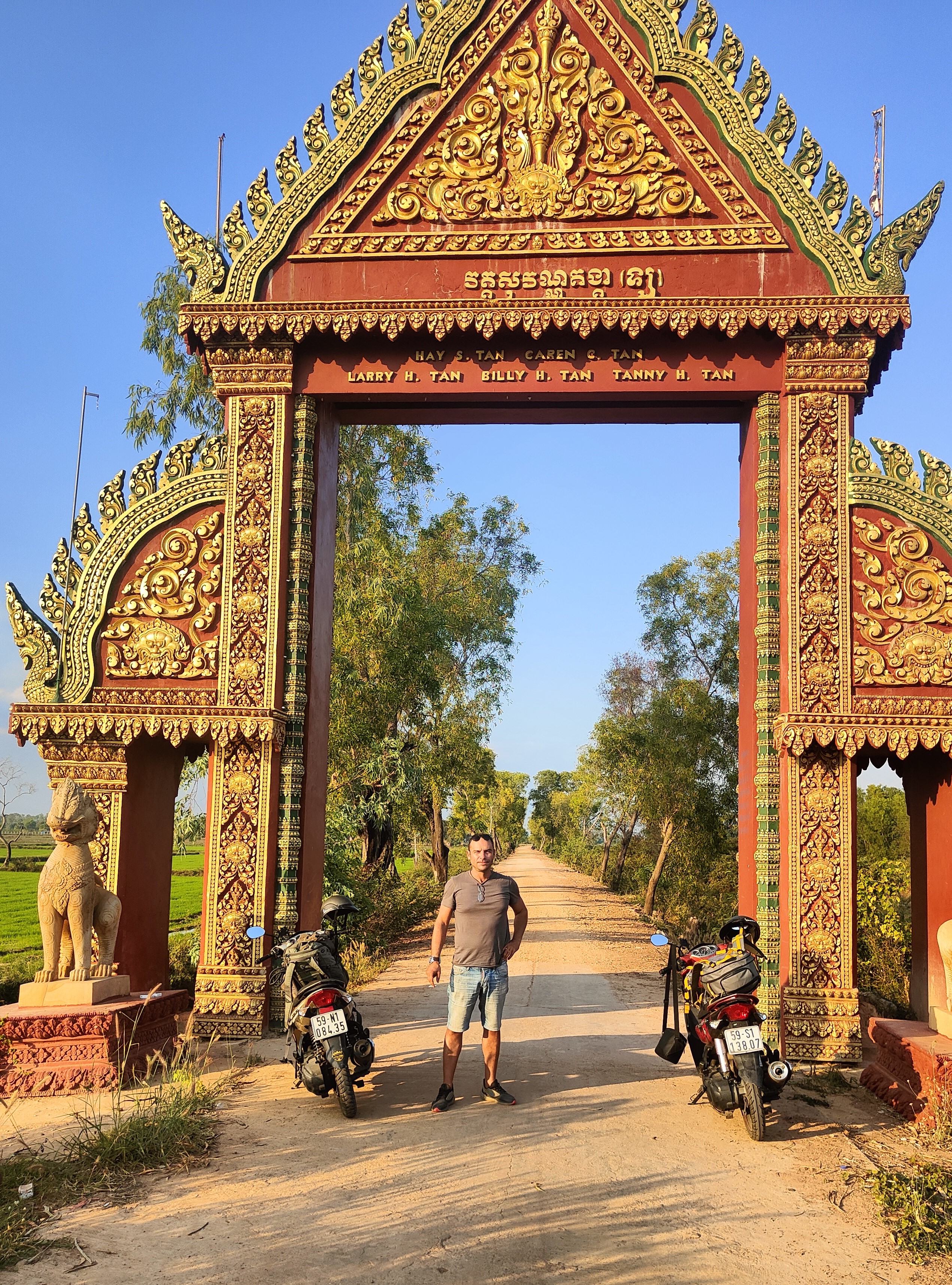
Angor Wat contains several
ancient temples. The main one (first picture) is the most impressive and
featured in the flag of Cambodia. It is also worth visiting other temples
(second picture), some of which are almost taken over by the jungle. The bikes
were useful as the temples are a few kilometers apart. Unfortunately, they do
not allow drones, so we could not take aerial photos and video.
The next destination was Battabang,
west of Siem Reap. It is the provincial
capital of the main rice-producing province of Cambodia, with an old town center,
and not much more. After one night there we continued towards Phnom Penh, where
we welcomed 2023. Below are some pictures of the trip: the first one
outside Battabang, and the second at a
random stop somewhere in the middle of Cambodia.
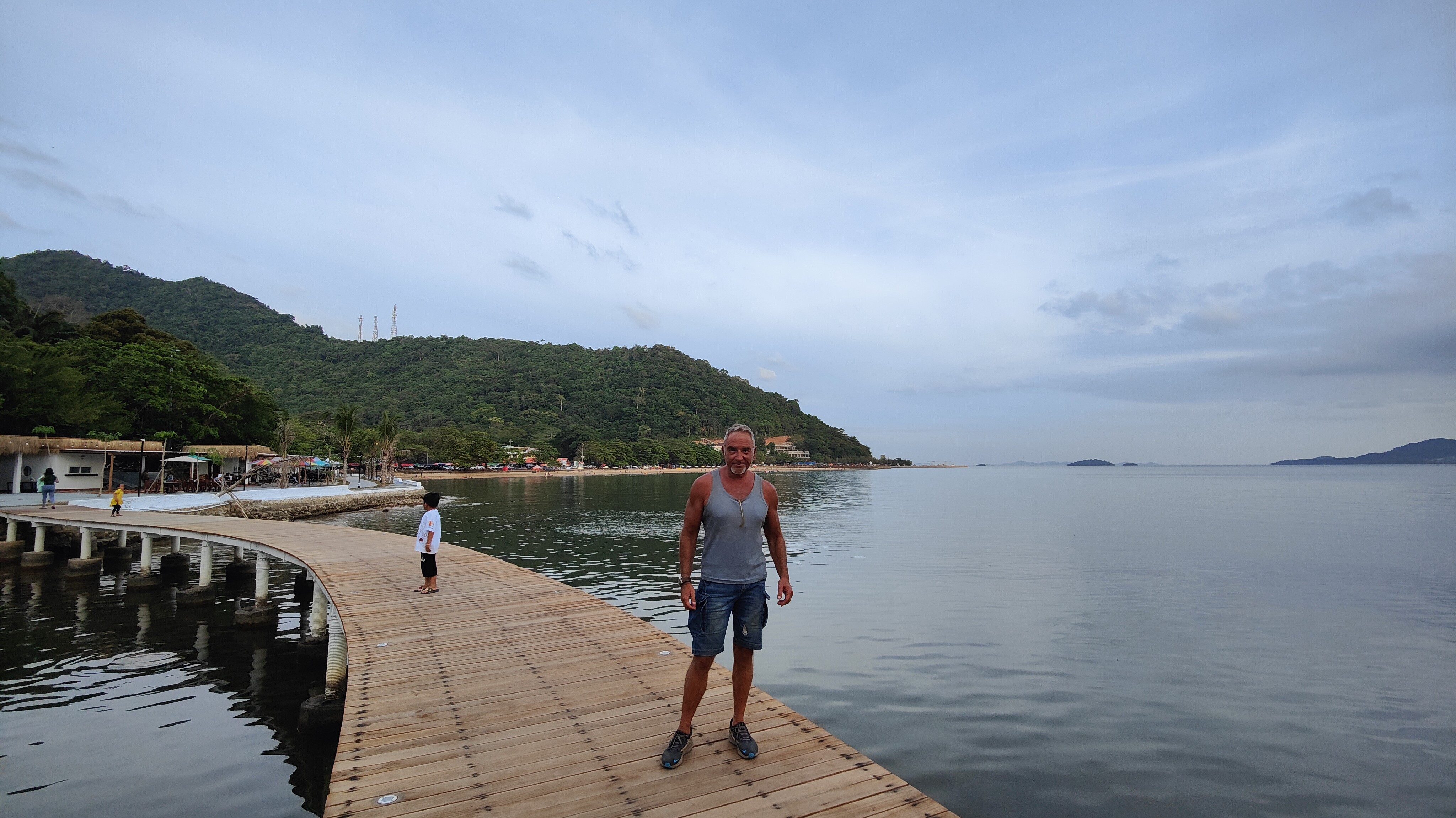
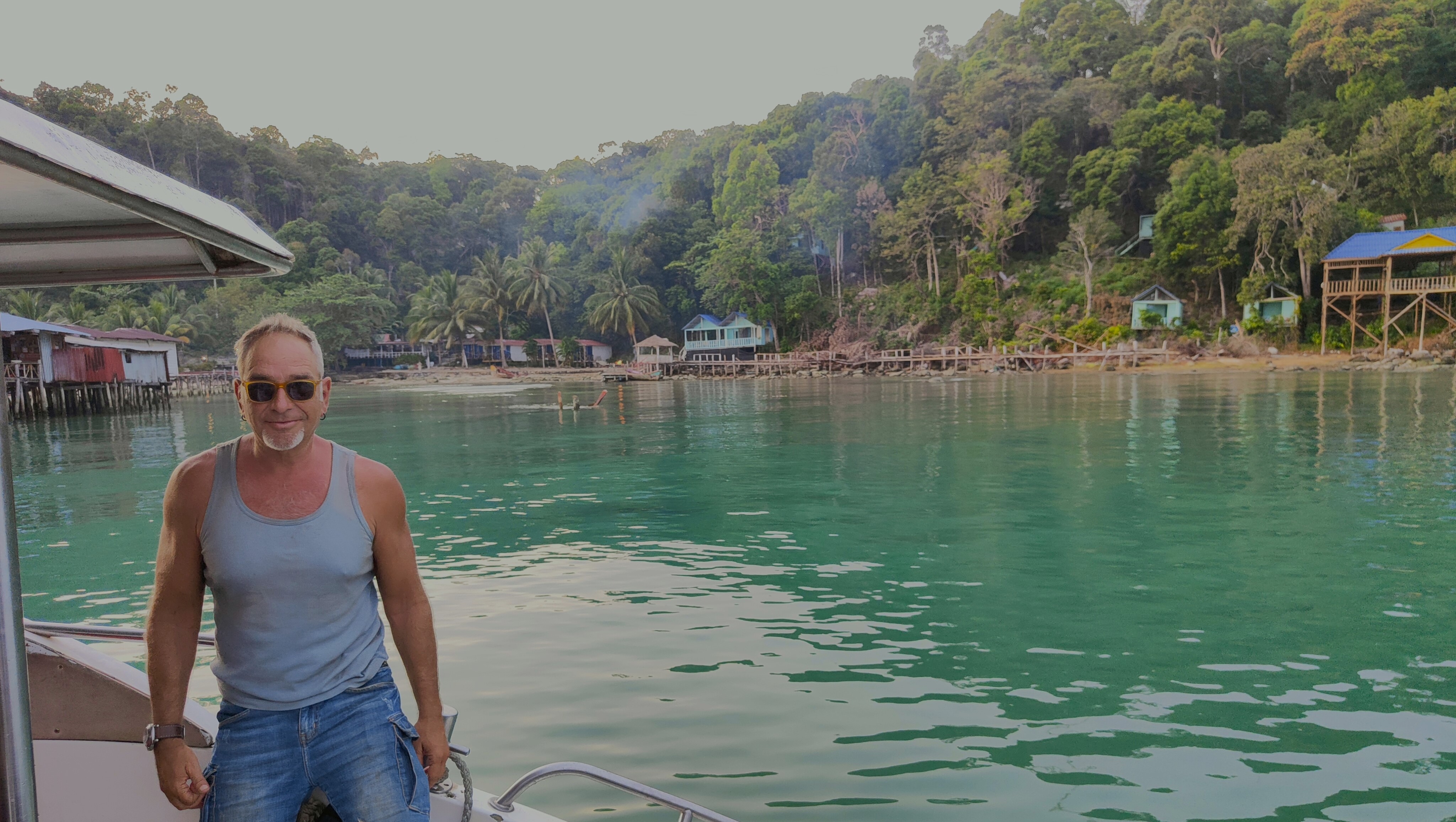
After Phnom Penh, we headed
south towards Kep. Kep beach
(first picture, in the background) is supposedly the only beach in mainland
Cambodia, but we were not impressed, and we did not even swim. In general, with
the exception of the islands (to be discussed later) both Vietnam and Cambodia
lack in terms of beaches. Near Kep is Kambot (see
second picture), a nice town by a river, with a visible expatriate (e.g.,
Western) community. I am not sure, but several of the expatriates seemed either
retirees that enjoy the low cost or life, or "hippies" that enjoy the
"relaxed" lifestyle of the area.
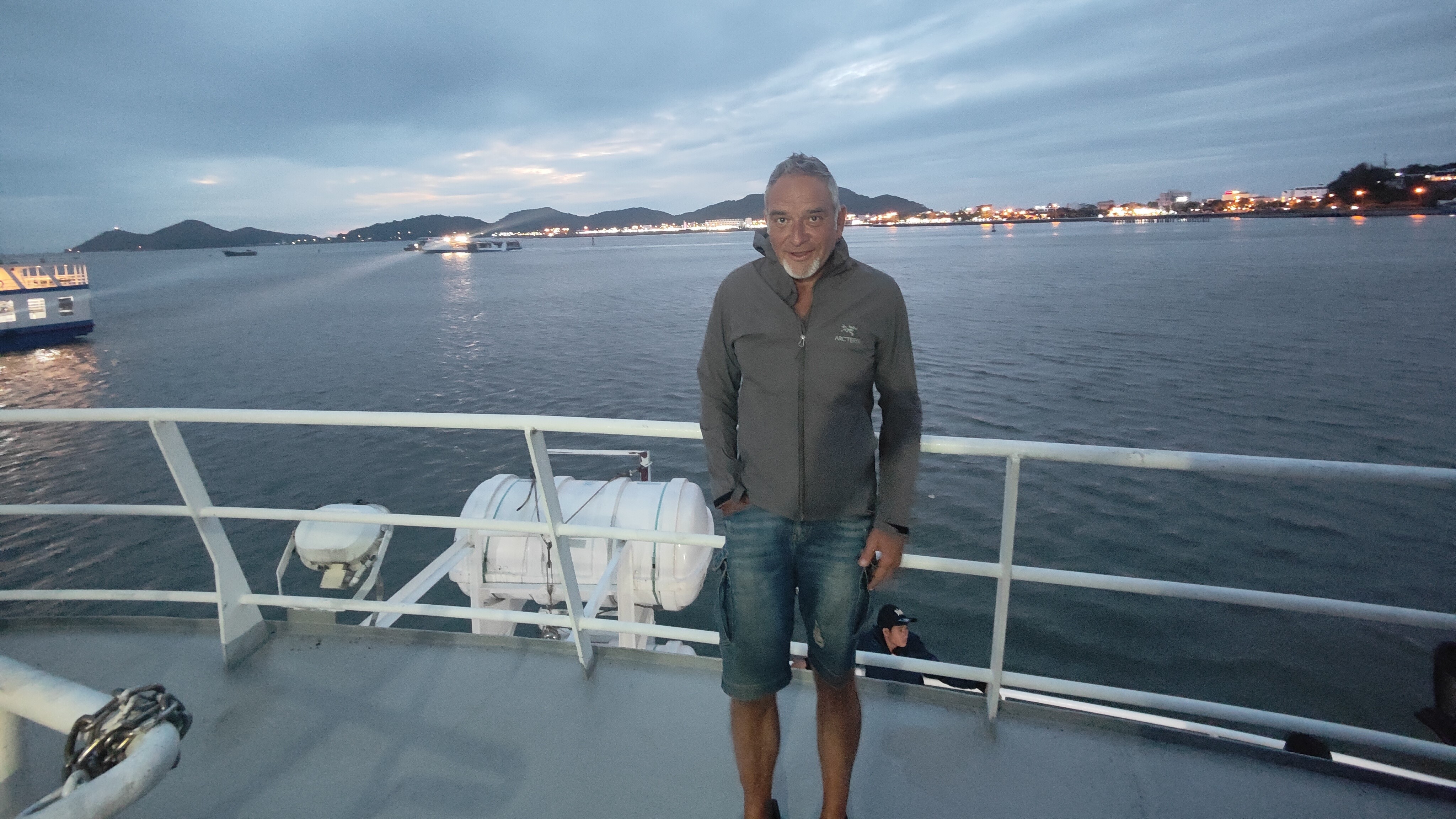
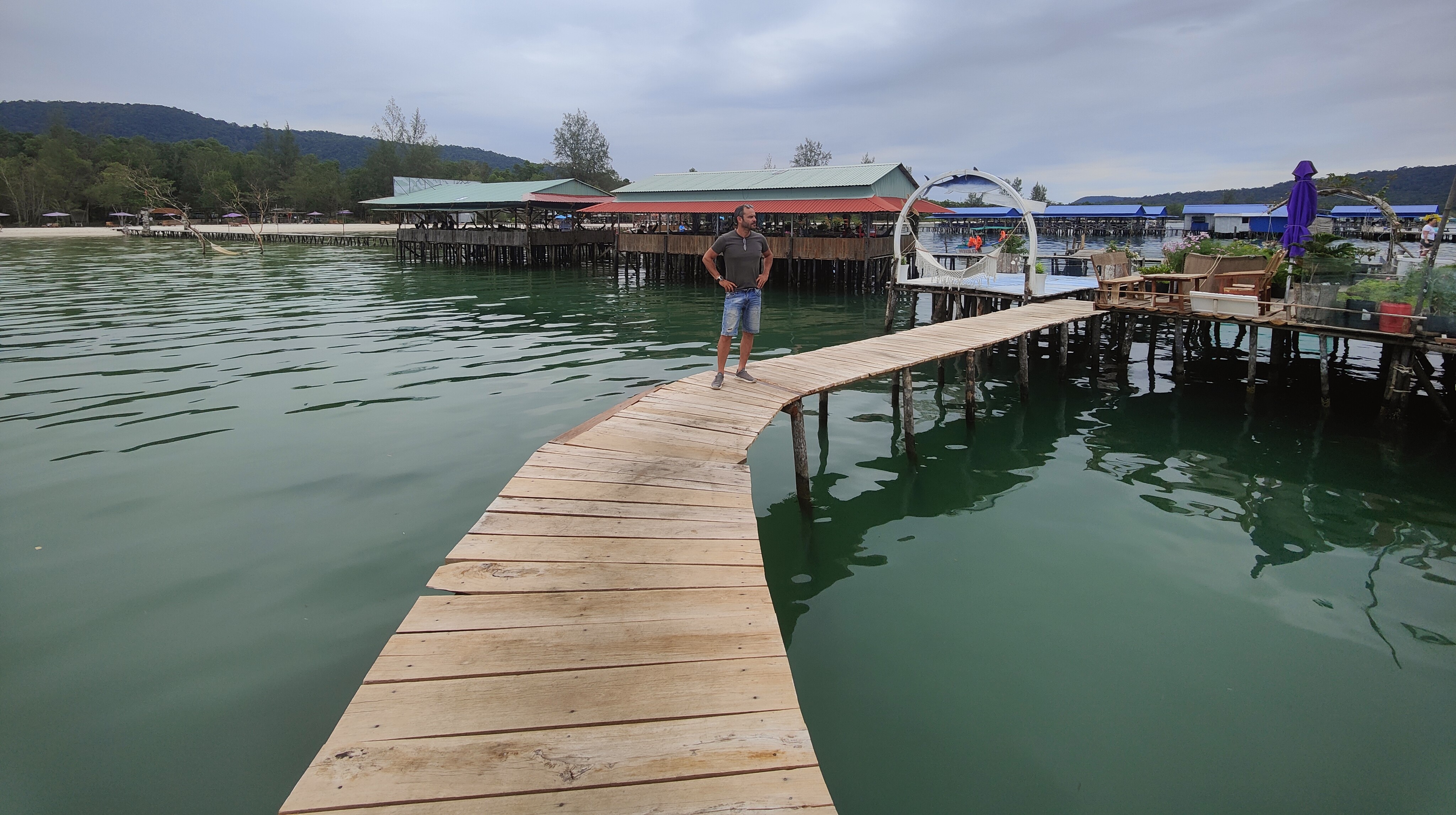
Then we took the road to
Sihanouk. Sihanouk is the main port of Cambodia, and the target of major
Chinese investments. There are huge resorts and casinos, several of which seem
under development, or abandoned due to COVID disruptions. We left our
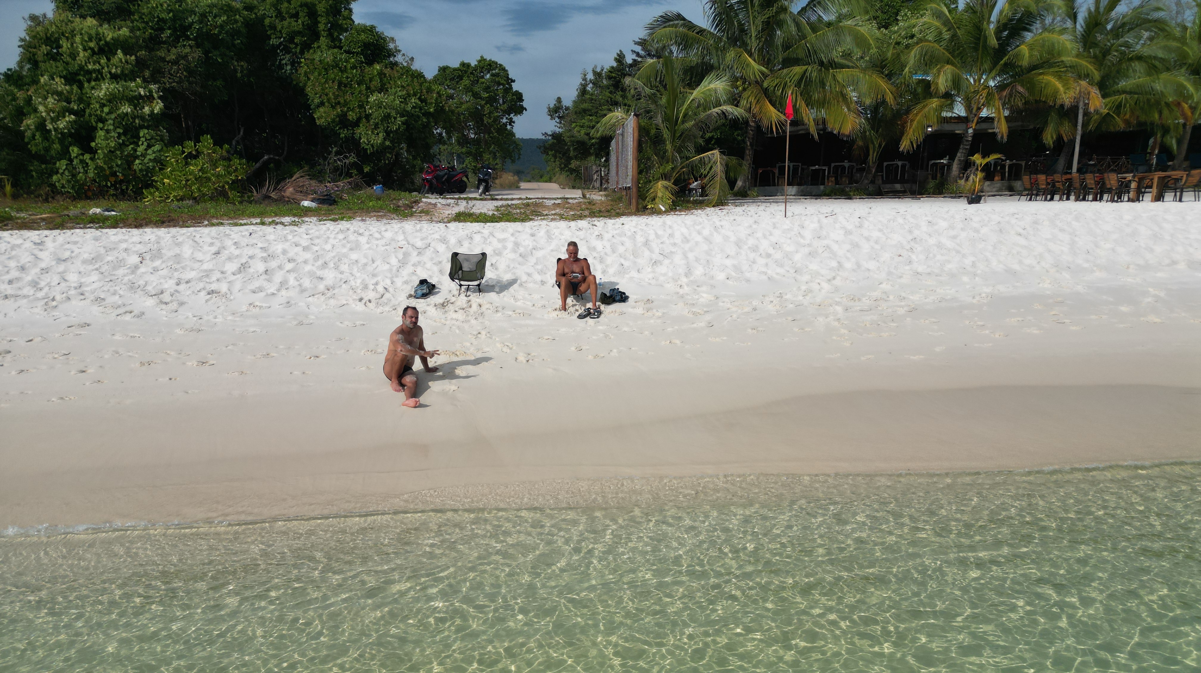
bikes at the port, and took the speed boat to Koh Rong Sanloem,
and Koh Rong, the main touristic islands of Cambodia. Koh Rong Sanloem (first
picture) is the smallest of the two, and has no roads, or vehicles. The larger
Koh Rong, has scooters, but not really a road network. Instead, if you stay at
the main village (Kao Touch Beach), like we did, rent a scooter and visit the
rest of the island, through a combination of paths and narrow streets. The most
interesting part is the long beach on the west side, where you can enjoy the
beautiful sea (Sok San beach, second
picture) and a romantic sunset (third picture), if you are in the mood.
During the whole trip, we tried to avoid taking the same road
twice. The only part that we could not avoid was the last 50-70km from Sihanouk
to Kambot, where we had to go
through again, in order to reach the southernmost border crossing to Vietnam.
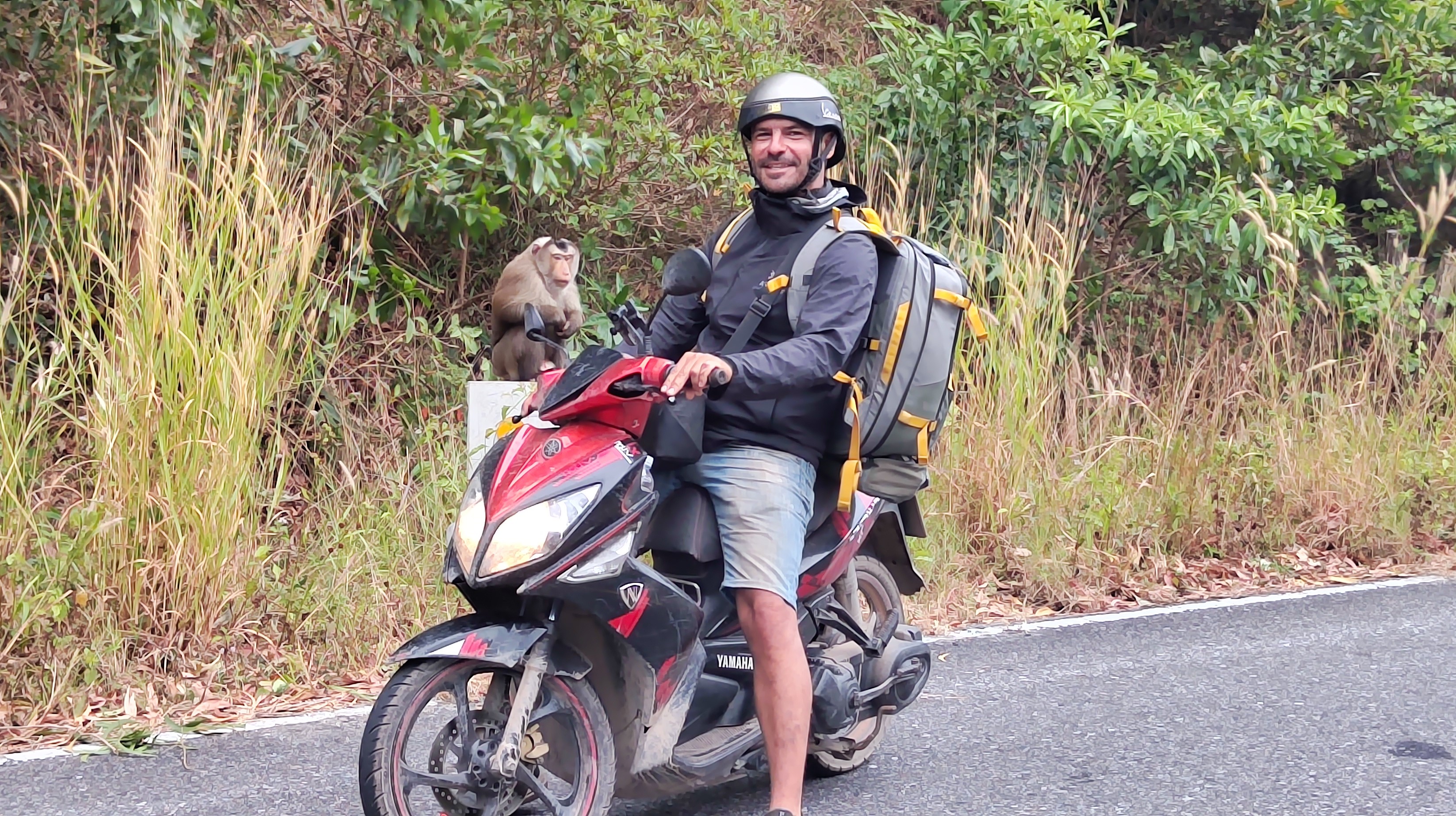
About 25km of that road was gravel, and it was the most difficult part of the
trip, with the exception of driving in Saigon. Outside Kambot there
is Bokor National Park, a
mountainous area with French colonial buildings, temples and waterfalls. In
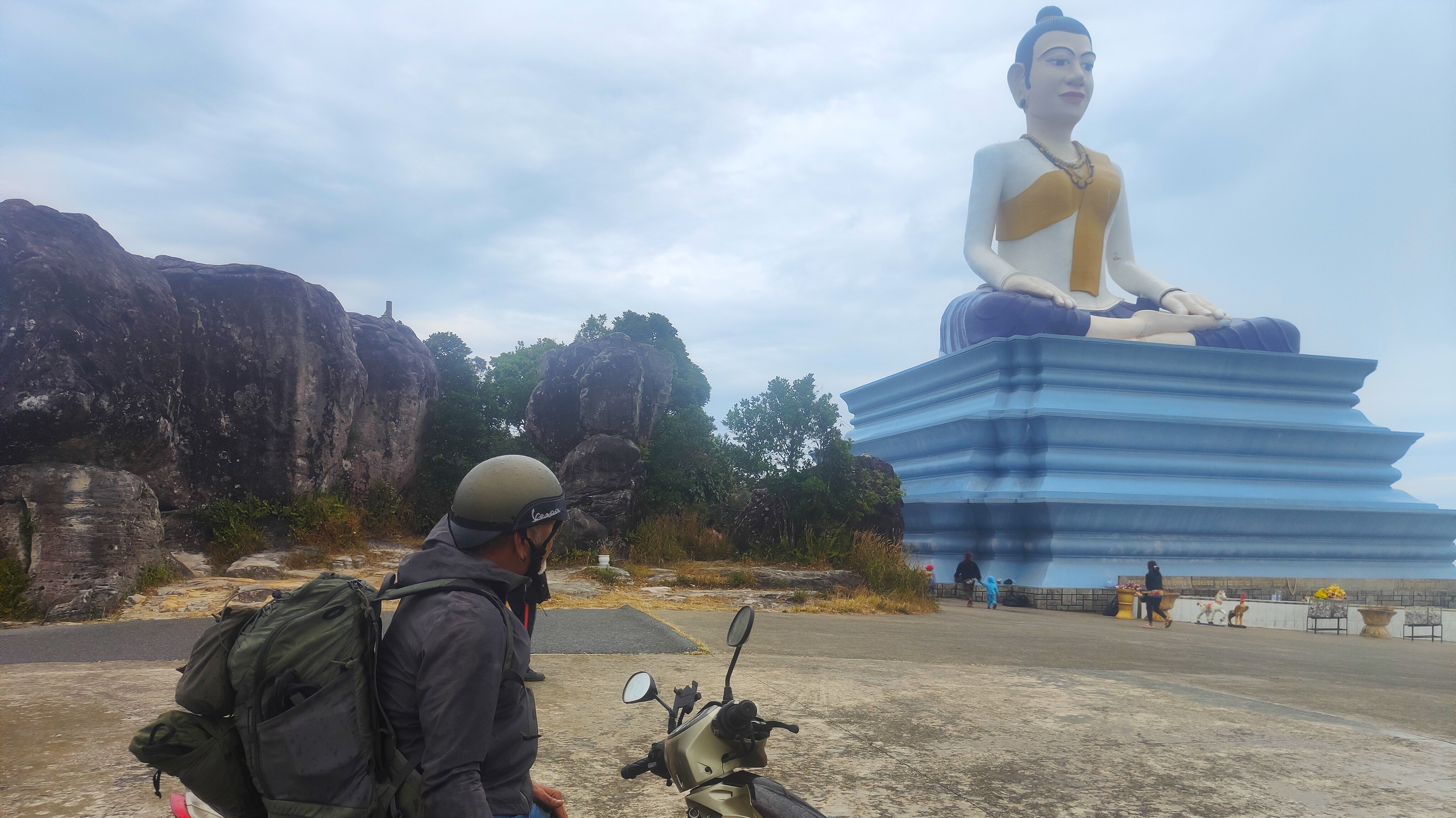
addition, it is worth visiting for the twisty road that includes monkeys (first
picture), statues (second picture), and views of Phu
Quoc island. Interestingly, Phu Quoc is opposite
of Kambot, although it belongs to
Vietnam.
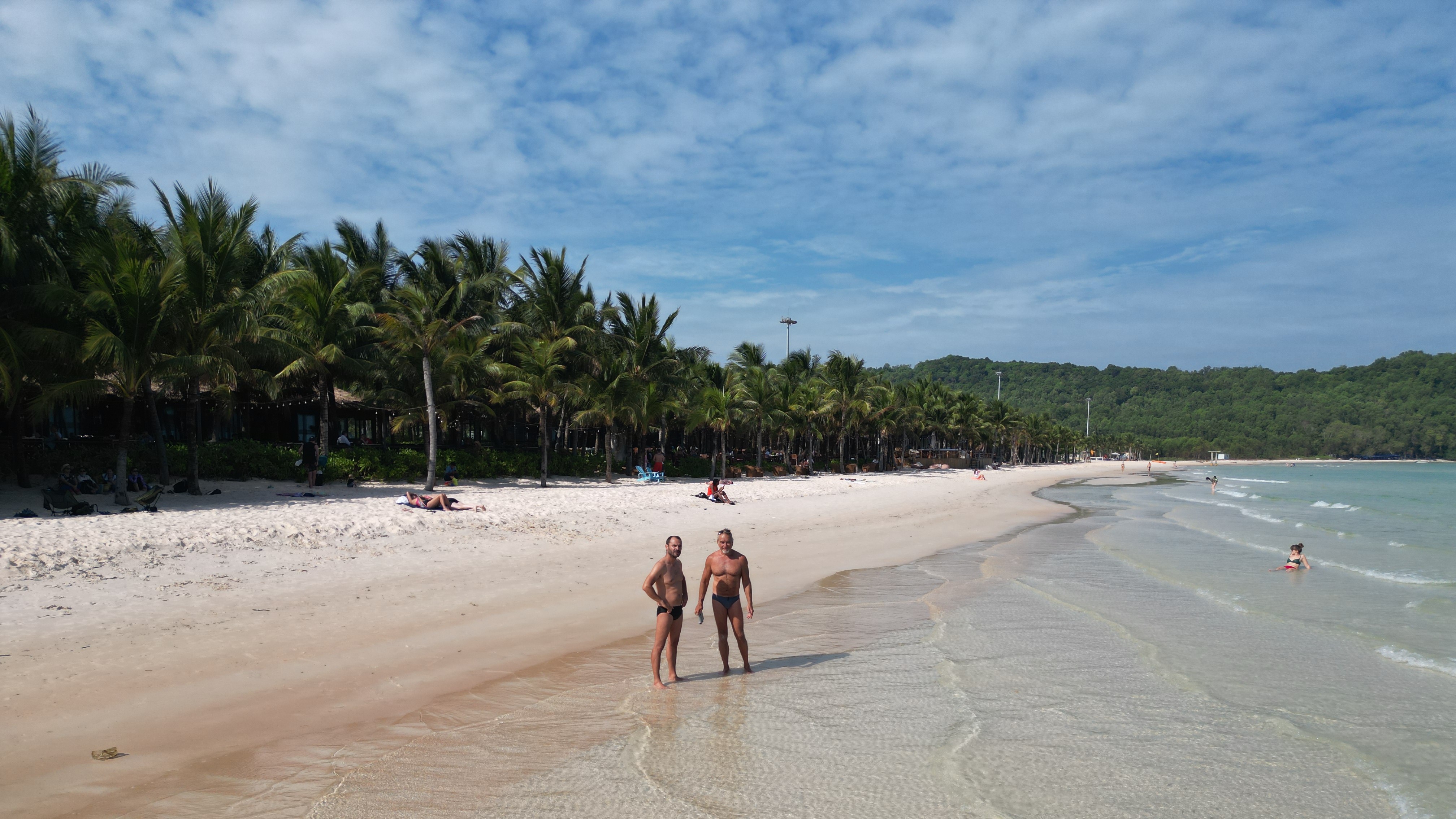
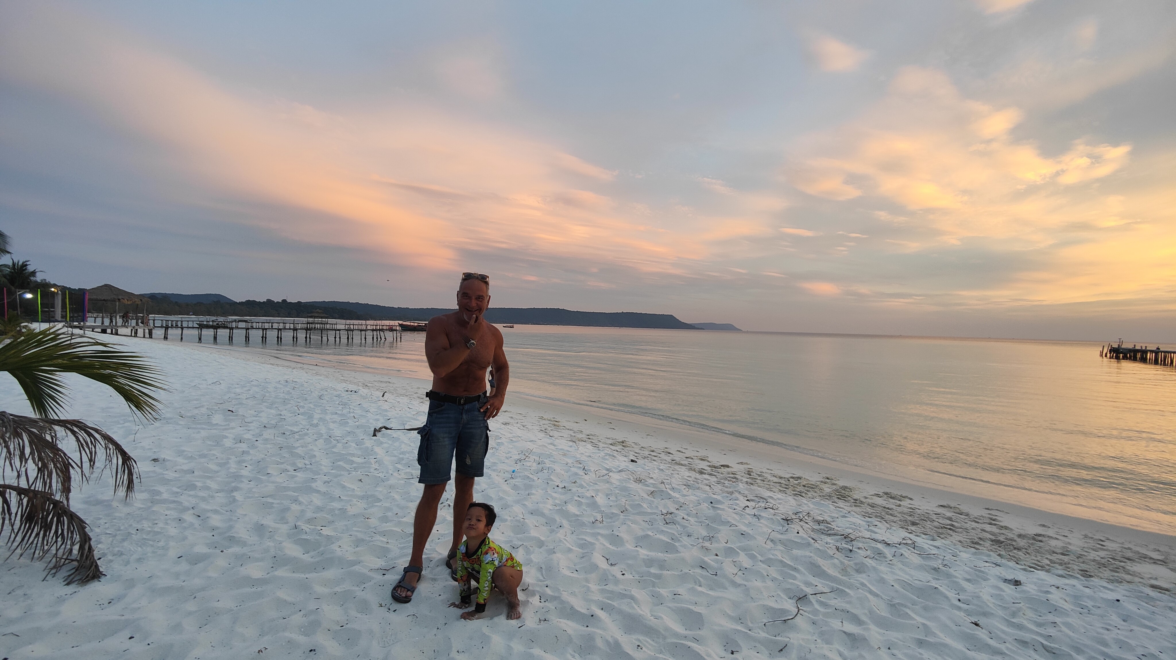
After a few days in Phu Quoc,
we took the ferry to Phu Gia, and drove around
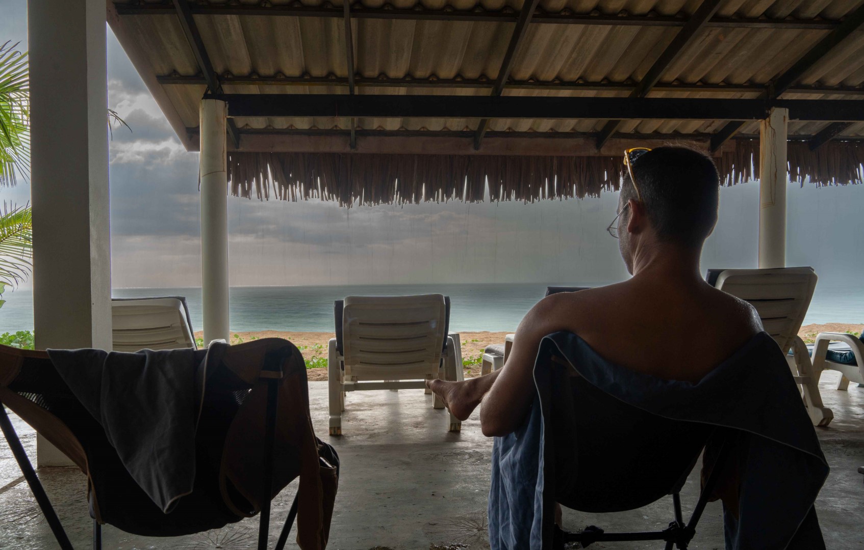
200 km to Saigon, concluding the trip. It was a solid "experience"
tour, with few "feel good" moments. First, none of the beaches that
we visited in mainland Vietnam and Cambodia was welcoming enough for swimming,
or even spending some time there. Moreover, with the exception of weekends in
Phnom Penh, we did not find any type of nightlife to our liking. Instead of
"Back to the Basics", the trip could well be called the
"Balconies" tour, since we did most of our drinking at the balconies
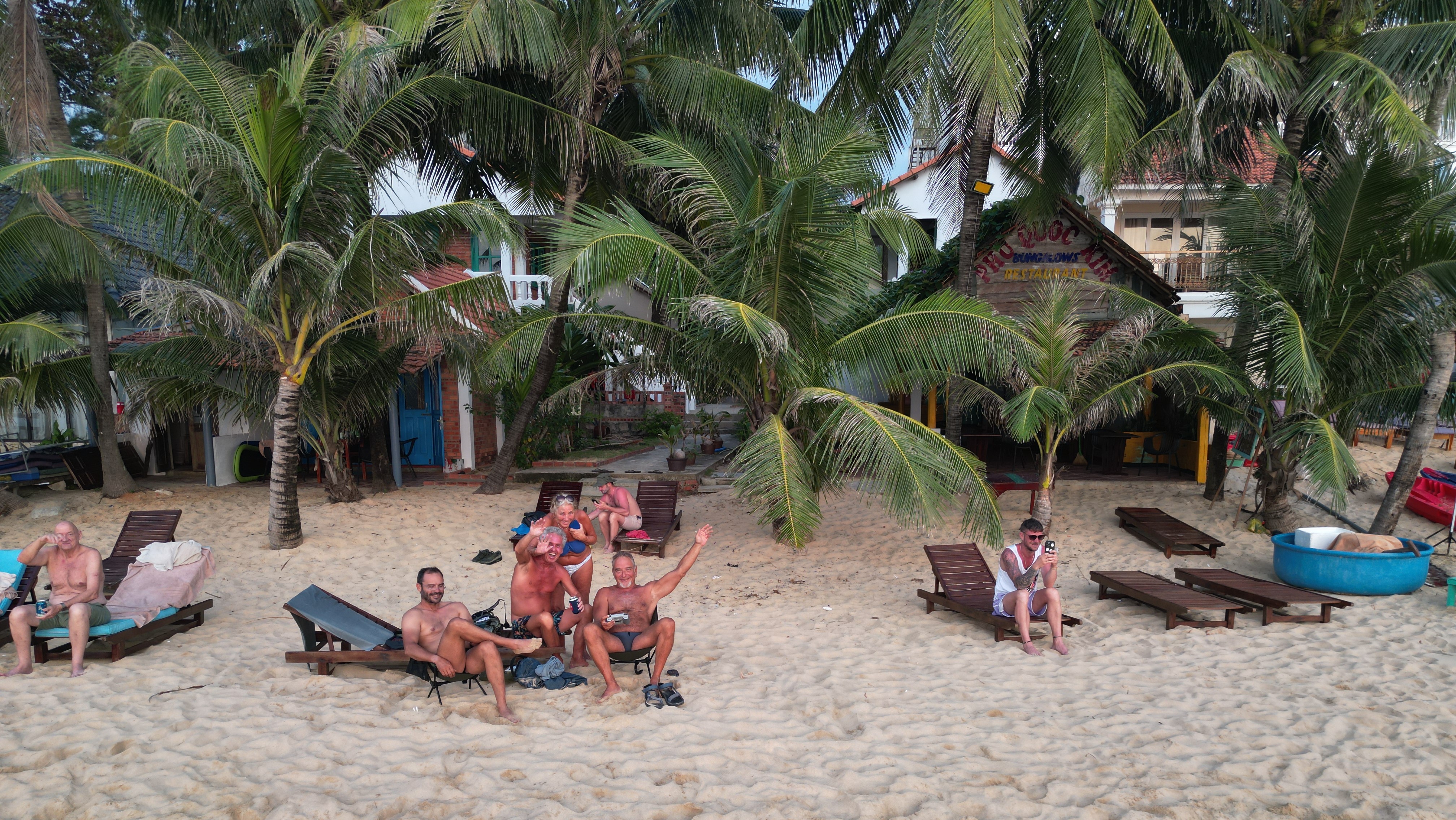
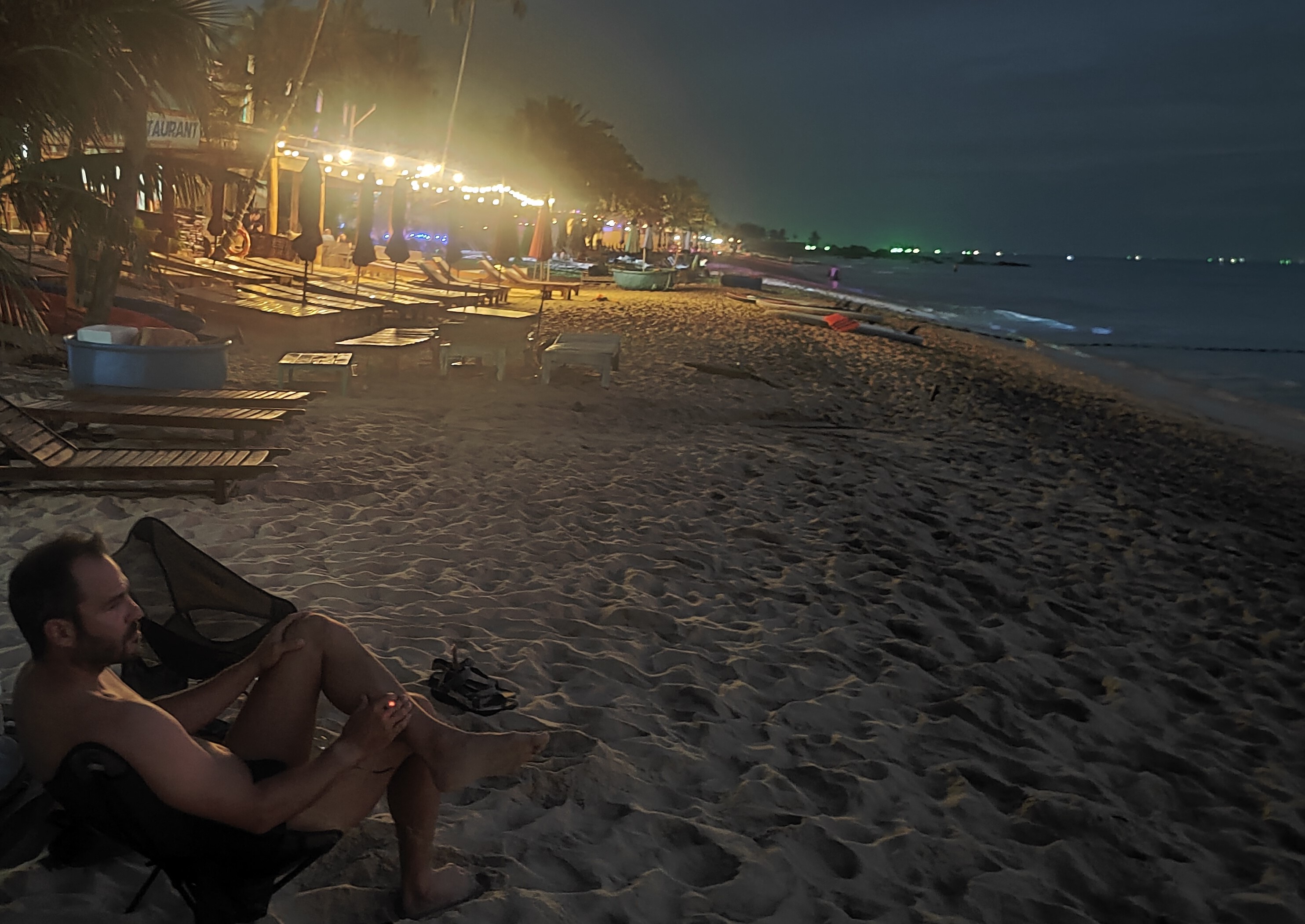
of the hotels/bungalows that we were staying, or at the beach (picture below).
Would I do the tour if I knew the outcome in advance? Of course. Will I do the
same tour in the future? Probably not.
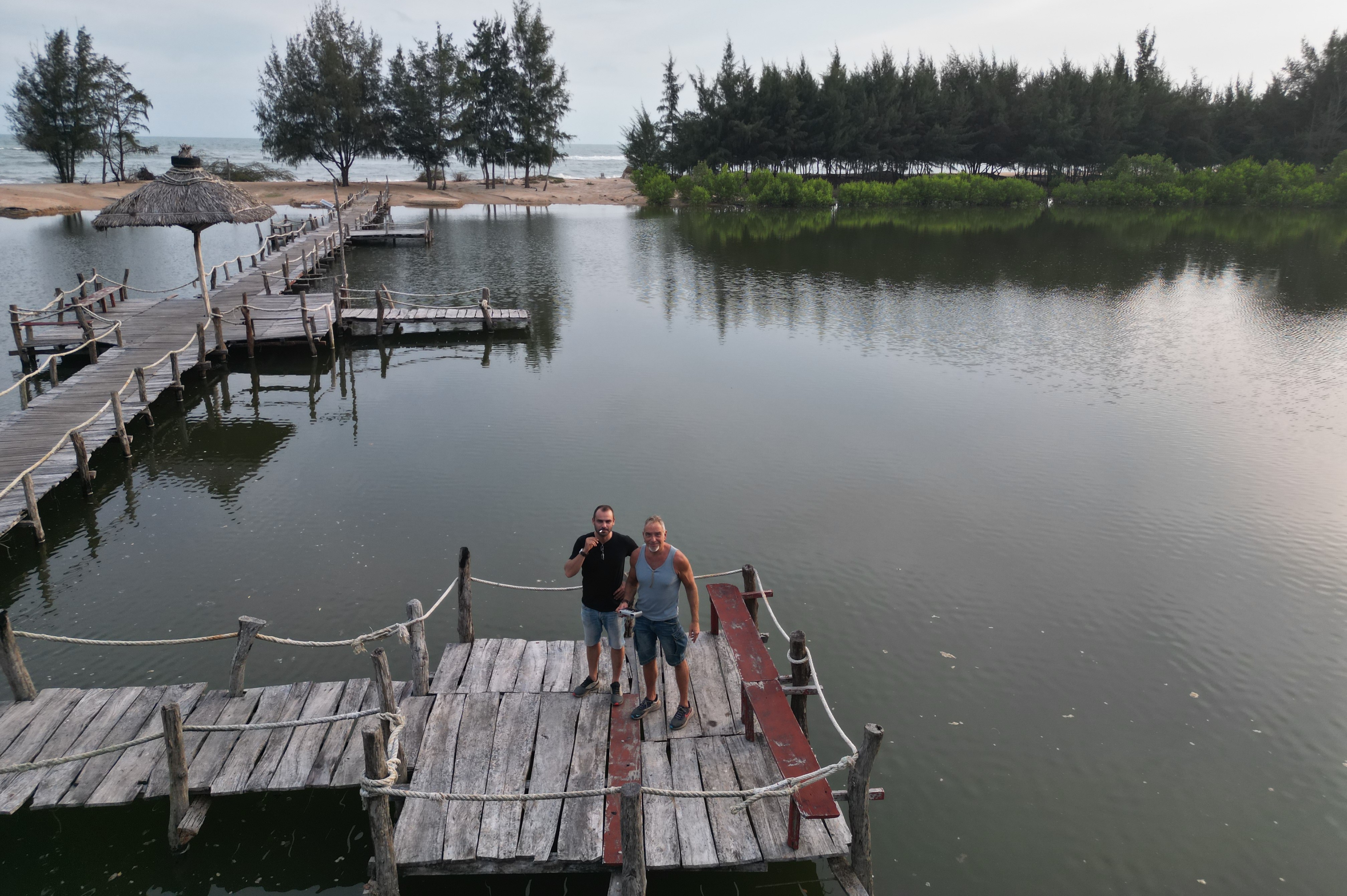
Drone videos:
Camping "Forest and Sea" in South Vietnam
Red sand dunes in Mui Ne
Elephant falls near Dalat
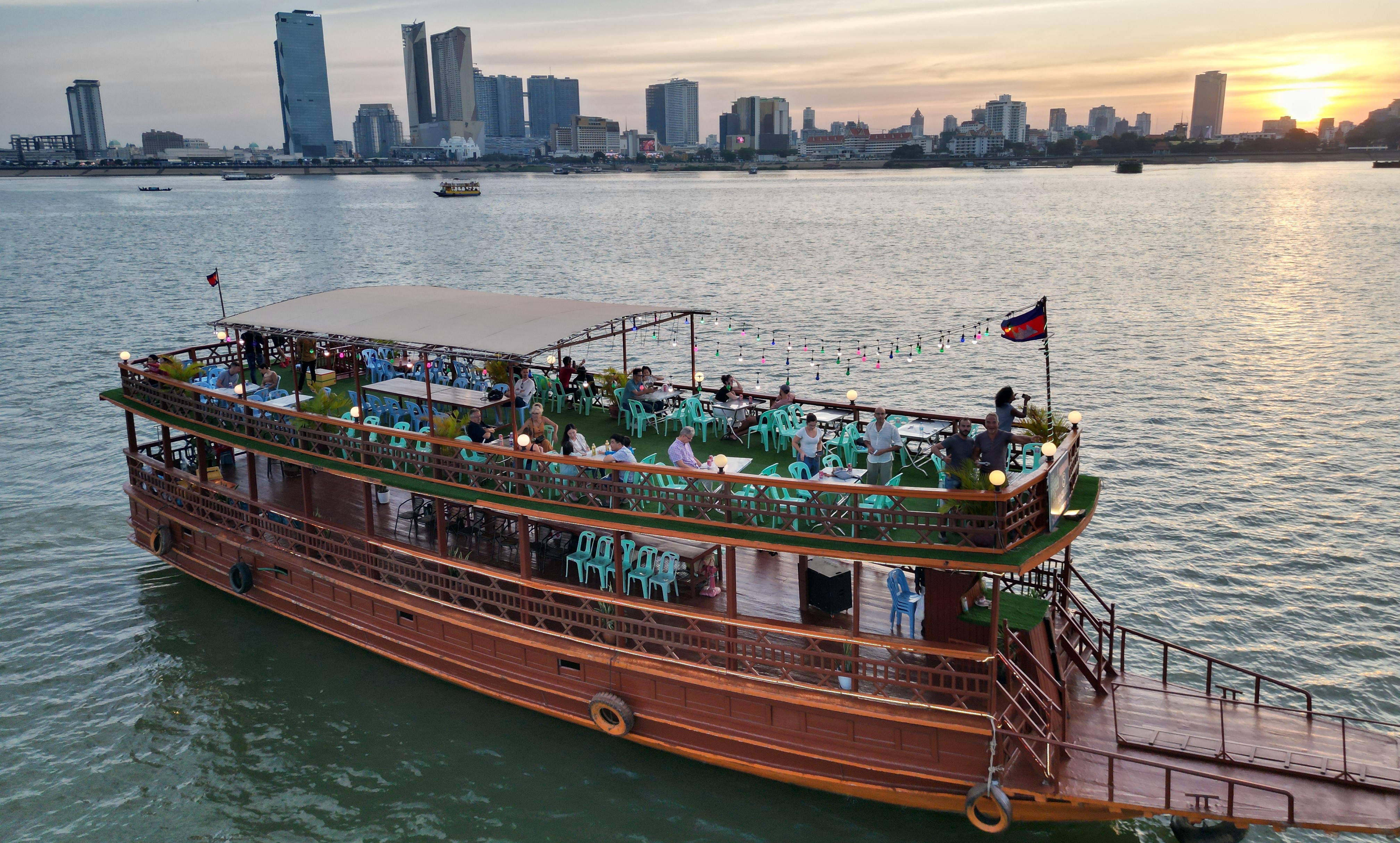
River cruise at Mekong in Phnom Penh
Long beach in Koh Rong
Main beach in Phu Quoc
"Venice" resort in Phu Quoc
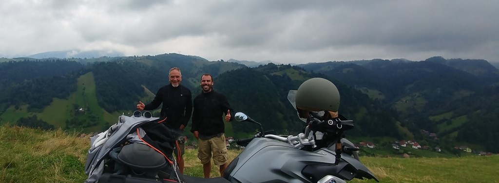
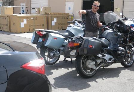
2017 July
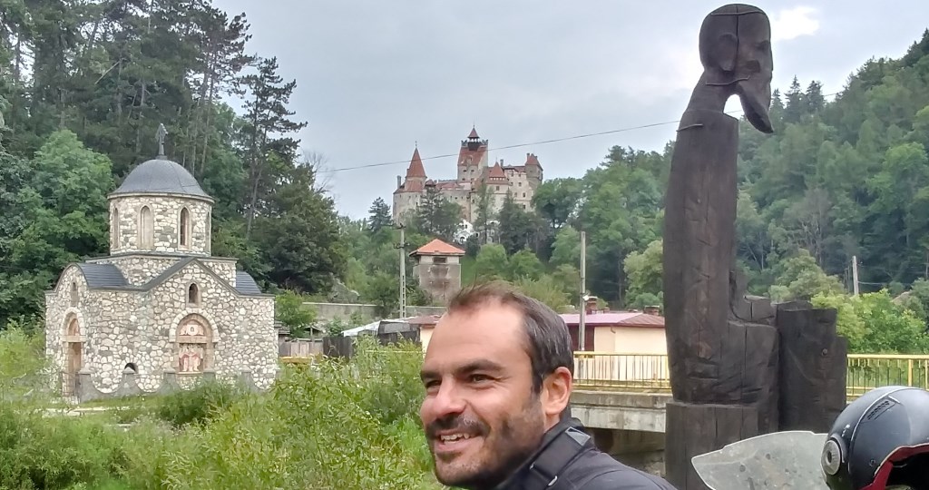
Transylvania, Romania: With Andreas and 2 BMW GS1200.
We were short of destinations because we have visited most places
around Greece. So we intentionally started a trip without a particular target.
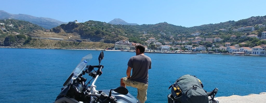
Our first stop was Ikaria (first picture below), an island famous for its
fiestas/festivals that last several days, and the longevity of its residents.
Maybe the two are correlated. After that we went to Samos, an island next to
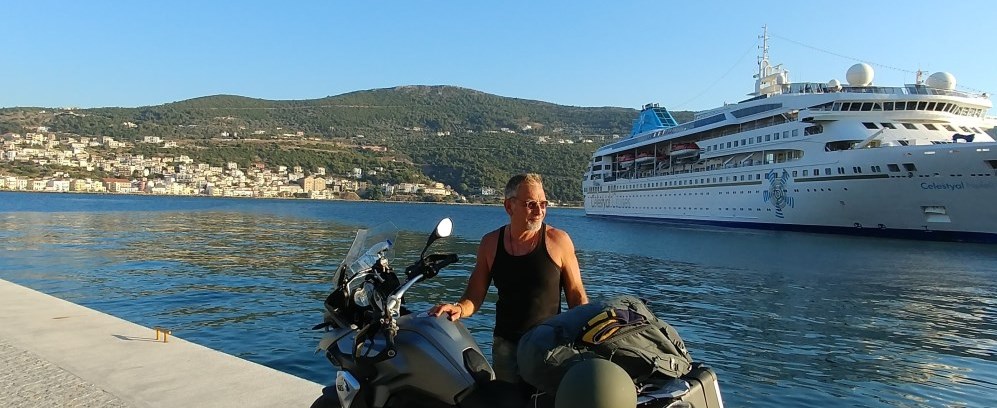
Turkey (second picture). The plan was to cross to Kusadasi with a ferry boat.
However, none of the ferries to Turkey carried motorbikes. Instead, we took the
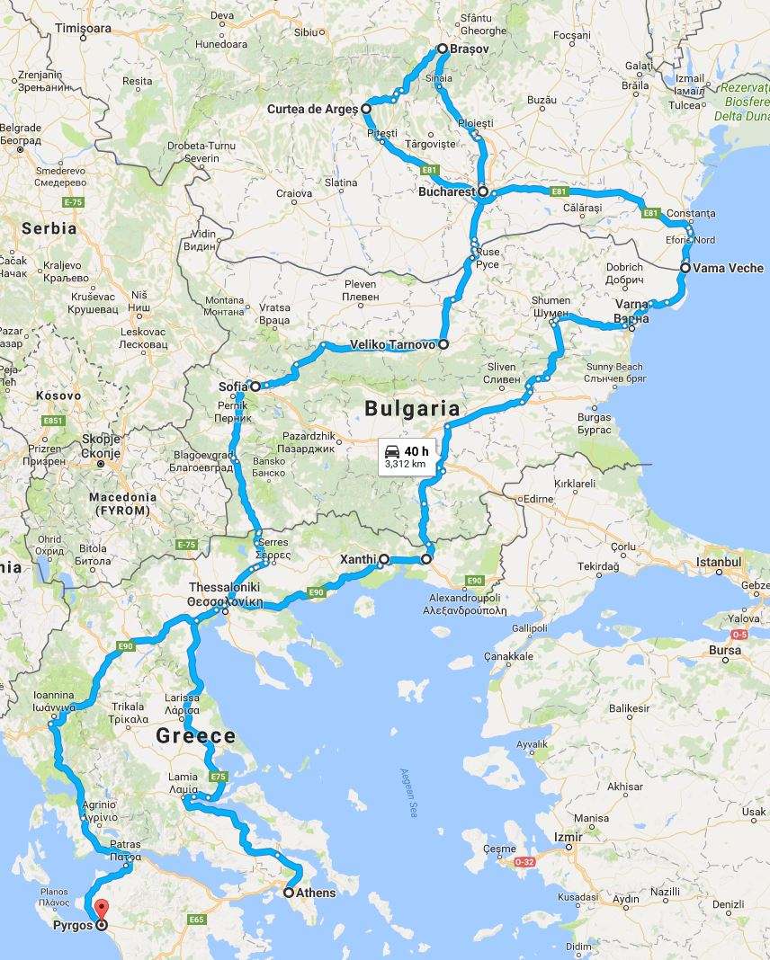
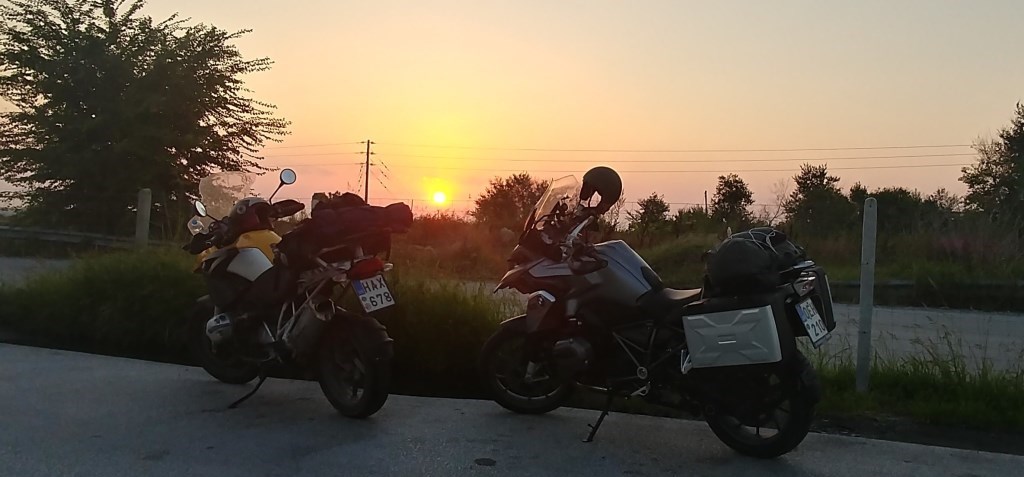
ship back to Athens (around 10 hours). We arrived after midnight, and we
decided to start our trip to Sofia, Bulgaria, 800km north of Athens. The
sunrise found us somewhere in Northern Greece (third picture).
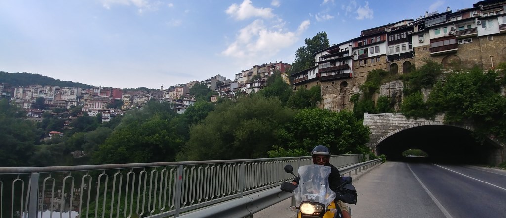
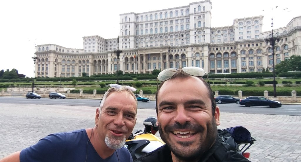
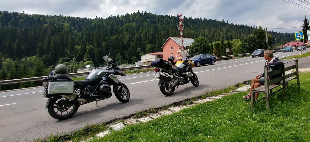
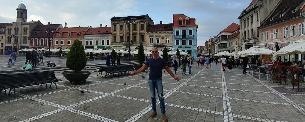
Then, we continued north,
towards Brasov, the largest city in the Carpathian Mountains. The main road
connecting Bucharest and Brasov is rather small and has heavy traffic,
including many trucks. The first picture below is where the road starts
climbing the mountains. Brasov is very beautiful (second picture), but boring
compared to Bucharest.
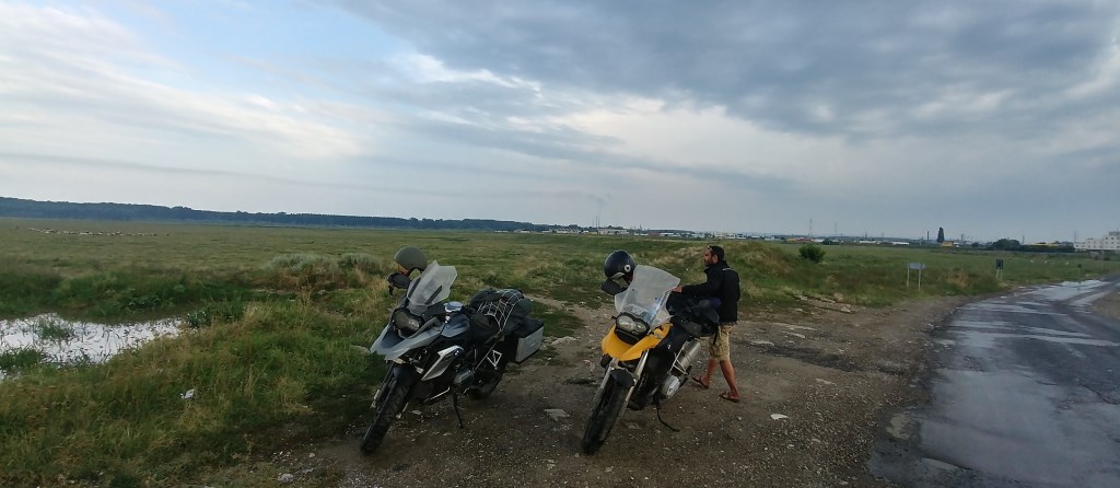
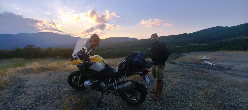
Our final destination in
Romania was Vama Veche, a beach town on the Black sea, next to the border with
Bulgaria. Compared to other popular beach destinations in Romania, Vama has an
alternative life style (it started as a nudist beach) that attracts musicians,
backpackers and similar types. We liked our first night there. However, the
next day it started raining and we decided to head south. The first couple of
hundred kilometers were among the worst in my life. In addition to the heavy
rain, there were strong winds. Thus, we were riding sideways, on a road that
was slippery like a mirror. On top of that, extremely aggressive Romanian and
Bulgarian drivers were getting stuck behind us trying to overtake in very
dangerous situations. We managed to avoid problems, and eventually we made it
back to the border with Greece at sun down (picture below).
After a few days with friends in Xanthi and Thasos island, and a
night with family in Ioannina, we arrived safe to our basis in Pyrgos,
Peloponnese. The whole trip was worth it as an experience, but you must be
lucky in terms of weather and traffic to enjoy riding in the Carpathian
mountains. You should also be very careful of the drivers both inside and
outside the cities.
2017 May
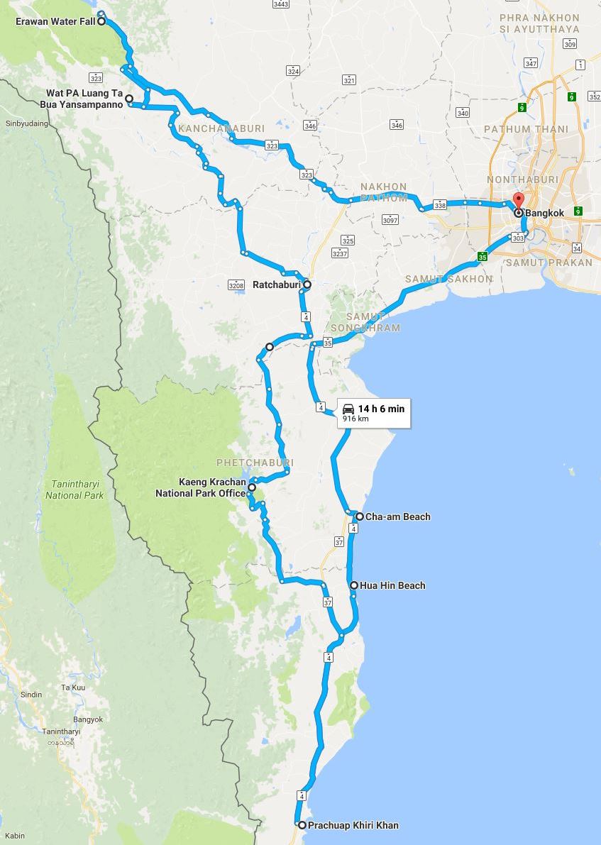
I used a
Yamaha T-Max scooter as my daily commuter in Hong Kong for a few years, and I
always wanted to test it in a long trip. Thus, I rented a Yamaha T-Max 530
from Bangkok
Bikes Rental (BBR), which is conveniently located near the airport. I
arrived shortly after midnight and I immediately started the trip south. I was
feeling happy that I avoided the terrible Bangkok traffic and the high daytime
temperature. The T-Max was indeed excellent for the speed I was travelling,
around 120km per hour. That is, until about 100 km out of Bangkok, smoke
started coming out of the engine, and then it died completely. I called the
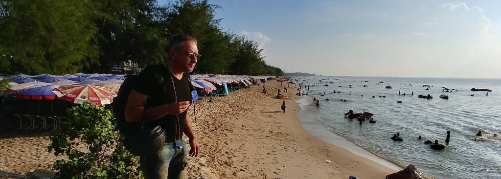
people at BBR and they showed up with a CB 500X replacement bike. I did the
rest of the trip with that, but I kept missing the convenience and the wind
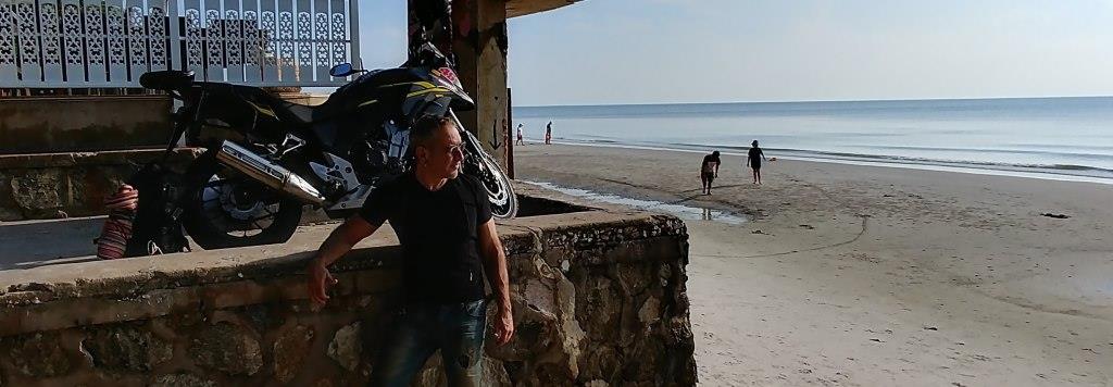
protection of the T-Max. I arrived at Cha-am Beach, about 200 km south of
Bangkok, early in the morning. As shown in the picture below, the beach was
full of people, although it was around 7 am.
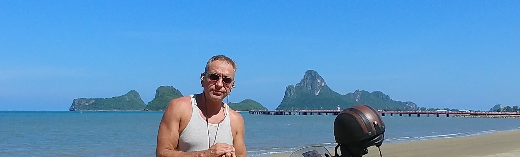
For the next couple of days, I stayed in Hua Hin Beach, a popular resort town
on the Gulf of Thailand (first picture below). From there, I visited several
nearby destinations, including Prachuap Khiri Khan (second picture). However, I
found the beaches of the Gulf of Thailand inferior compared to the ones of
Andaman Sea (e.g., Phuket).
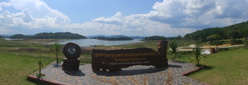
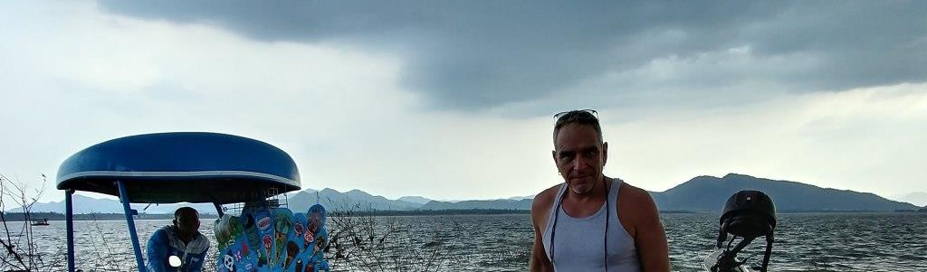
My next destination was Kaeng Krachan National Park, surrounding a water
reservoir (first picture below). From there I continued inland, towards
Ratchaburi. The sky was getting darker (second picture), and eventually a
tropical storm caught up with me. The third picture below is a during an urgent
stop to avoid the heavy rain.
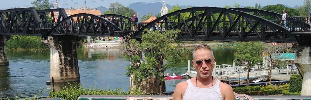
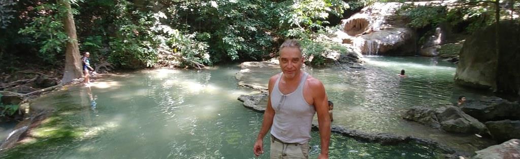
I spent the night in Kanchanaburi and visited the nearby Bridge on the River
Kwai (first
picture below), made famous from the american movie with the same title.
I also went to the Tiger
Temple (Wat Pha Luang Ta Bua Yanasampanno), but the tigers had already
been relocated. My final destination for the day were the Erawan Waterfalls
(second picture), where I enjoyed the cool water.
After spending a "Night in Bangkok" I took the flight home. The whole
experience felt more like a pleasant long weekend than motorbike touring. All
the kilometers that I drove (roughly 1000 km) were on small roads, but in
relatively good condition. The only highways I saw were in Bangkok, and
motorbikes were not allowed. The people at BBR were helpful and responsive
during unconventional hours. However, they eventually kept my bike deposit,
even if the damaged T-Max was not my fault. No hard feelings
though.
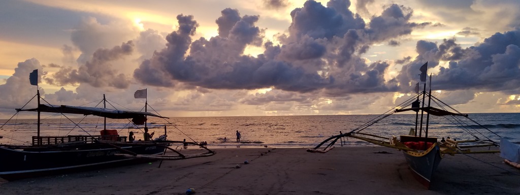
2016 June
North Luzon: Philippines with a Kawasaki KLR 650.
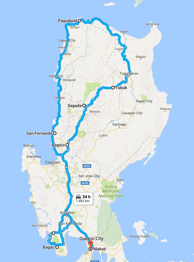
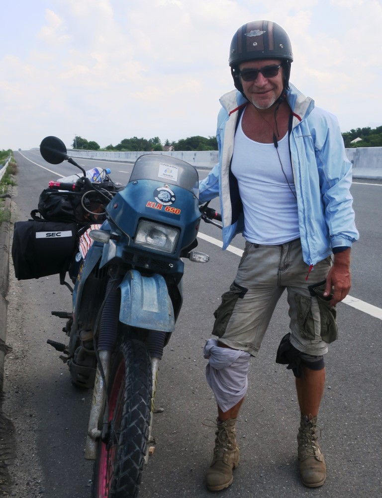
I rented
through the internet a KLR 650 Motoribike from Mabuhay Bikes in Manila, which
unfortunately closed recently. Although the bike was more than 20 years old, it
did not cause any problems. Moreover, it would get a lot of attention from the
locals during the stops, because bikes above 50cc are rare in the Philippines.
The first stay was at a beach (see picture below) near San Fernando, La Union,
about 300 km north of Manila. These were the easiest kilometers of the trip
because it was mostly highway. However, at some point when I was entering, I
was asked by the highway patrol to wear protective gear. Due to the hot
weather, I only had shorts with me. This explains the T-shirts folded around my
knees in the picture above, supposedly for protection. Eventually, they let me
enter the highway and I removed the T-shirts after a couple of kilometers.
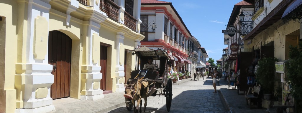
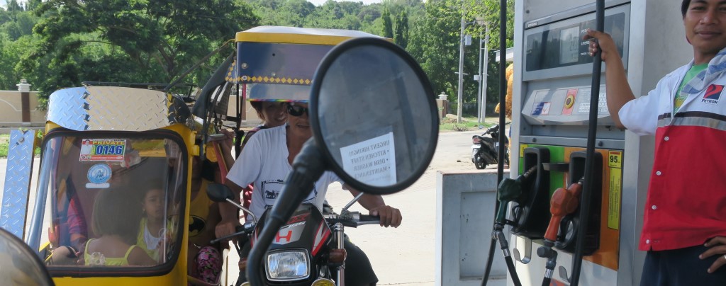
The next day, I continued north towards Vigan City, a UNESCO World Heritage
Site. Vigan, built in the 16th century, is the best-preserved Spanish colonial
town in Asia (see first picture below). Although less than 150km from San
Fernando, the trip was unpleasant because of traffic, residential areas and
high temperature. Liitle did I know at this point, that soon the easy roads
would be over. Below a picture from a gas-stop. Note the number of people on
the bike.
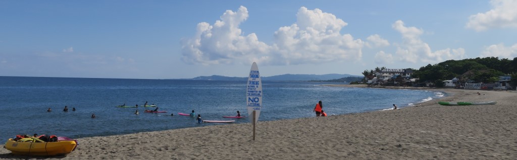
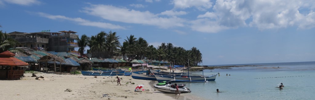
The second night, I stayed at a beach near Pagudpud, at the northern coast.
There are several nice beaches in that area (see pictures below), most of which
seem only recently developed. I did not see any foreign tourists there, unlike
Boracay, Cebu, Palawan and other touristic places in the Philippines.
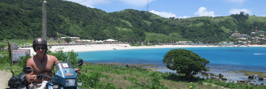
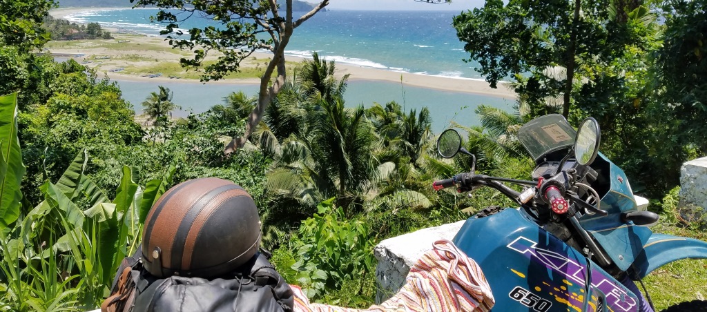
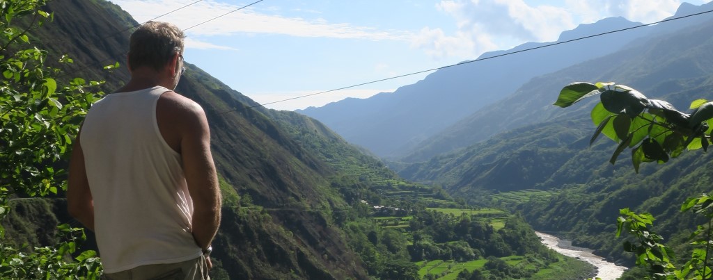
After enjoying the beaches, the next day I continued east on the coastal road,
which was scenic (see two pictures below). The inland road was less
interesting. It is worth mentioning that while in the interior of Luzon, it was
difficult to find something edible during the stops. In the third picture
below, I had eaten some kind of sticky rice, which I could not swallow no
matter how much coke I drank.

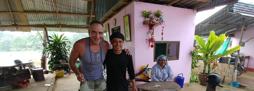
The road became interesting again after Tabuk, the last large village before
going up the mountains (see first picture below). The more I was leaving
civilization, the more unpredictable it would become. I never knew if around
the corner, there would be asphalt, stones, dirt, goats, or no road at all due
to landfalls. However, as shown in the second picture, people were
friendly and hospitable despite the fact that those tribes were headhunters
until less than a century ago. Actually, because I could not find a hotel, and
it was very dangerous to drive in the dark, some locals offered me a shed to
pass the night. It was an exciting experience, as there was only a metal sheet
separating me from a family of pigs sleeping next door.


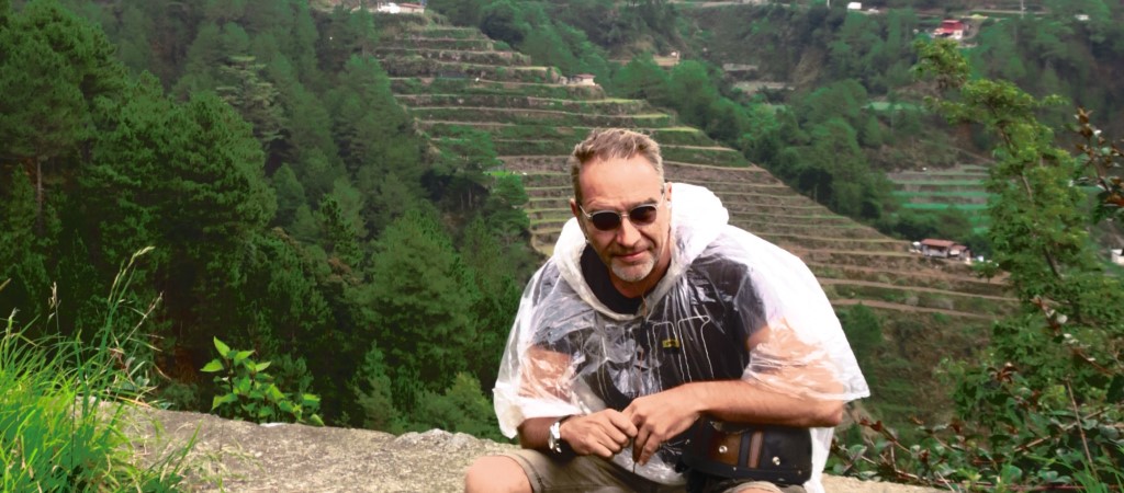
Notwithstanding
the risks, the mountain road is rewarding in terms of landscape. There are
numerous rice terraces (see first picture below), even in high altitudes (the
tallest mountain is 3000 meters, and I believe that I almost reached that
altitude while riding). The peak in the second picture is called Sleeping
Beauty due to its shape.

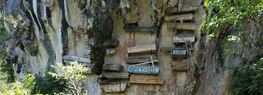
Probably the most beautiful town in the mountains is Sagada, which is famous
for its hanging coffins (see first picture below). After Sagada, I continued
towards Baguio, the largest city in the area. Although only about 150km away
from Sagada, Google maps indicates a driving time of about 5 hours. Probably it
took me even longer, because of traffic, rain and heavy fog, sometimes combined
with the road conditions mentioned above. The second picture below is from a
stop – obviously the "jacket" I was wearing did not offer sufficient
rain protection.
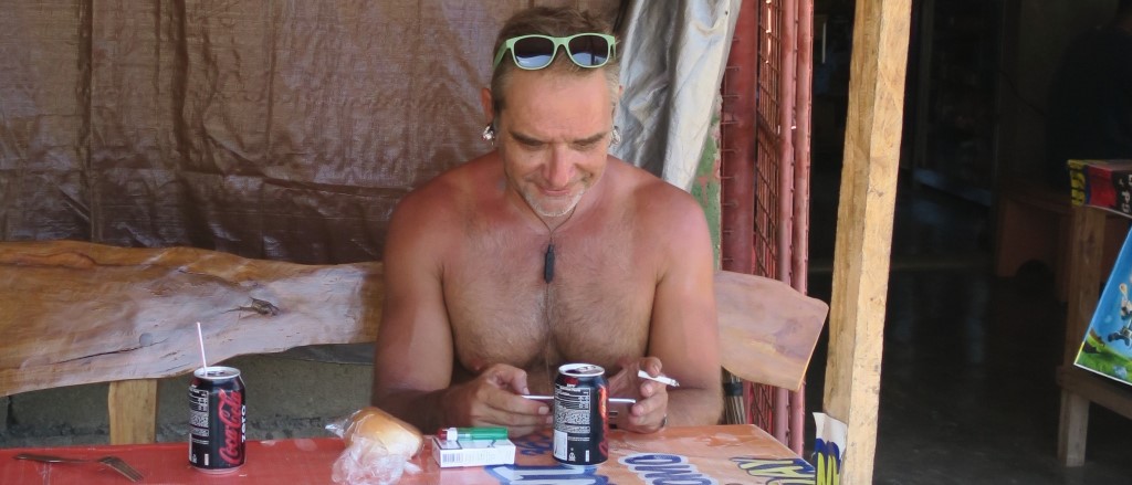
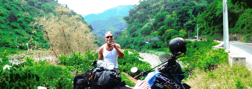
After spending the night in Baguio, I took the road south. In the first picture
below, I celebrate the end of the mountains with a cigarette. I spent the night
at Subic Bay, the area of a former American Military base, near the town of
Bagac (see second picture). Although a popular weekend resort for Manila
residents, I did not like it much and it was very expensive; the cheapest hotel
that I found, was more than US$100 and it did not offer much more than the shed
with the pigs, which I kind of missed during that night.
The last day included an easy ride to Manila. After returning the bike, I went
to the closest Burger King for a proper meal. It was a remarkable trip that
left nice memories. Next time, I will take with me a pair of long trousers (in
case I have problems at the highway again), a proper rain jacket, and sun
screen (even the top of my hands burned).
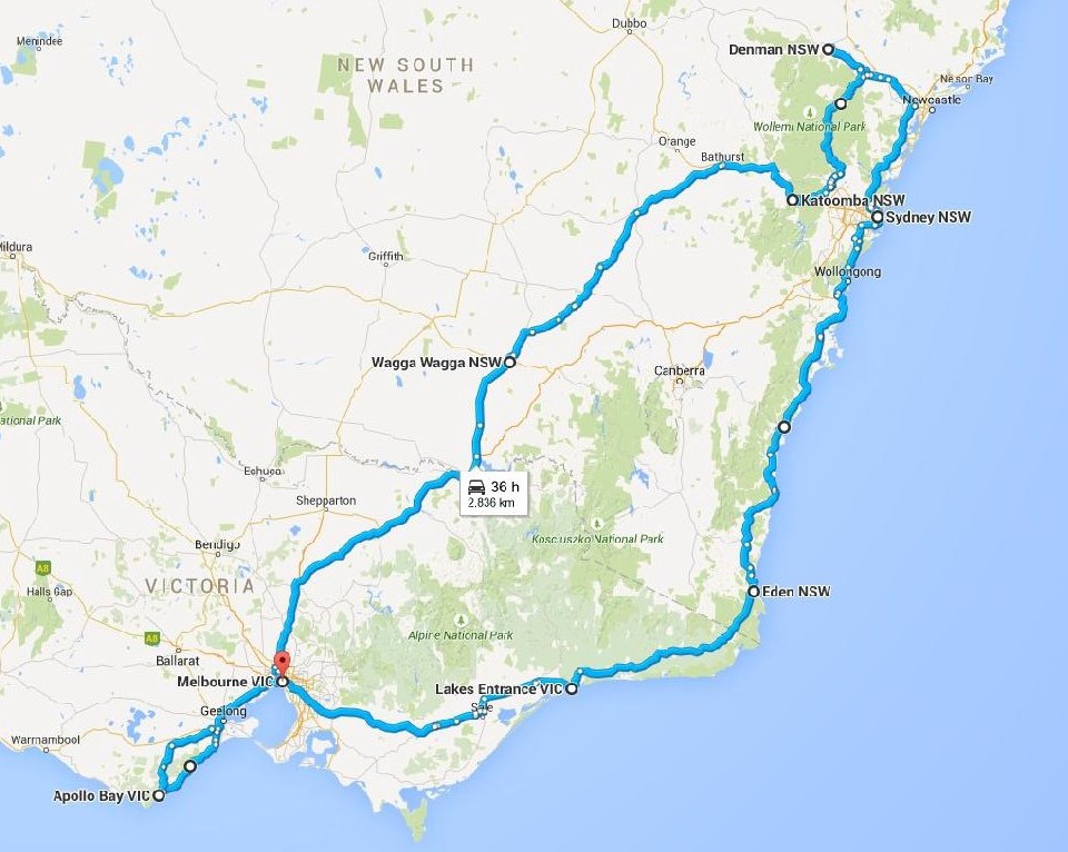
2015 June
Southeast Australia: Victoria, New South Wales with Andreas,
Nikos, a BMW 1200 GS and a Ducati Multistrada 1200.
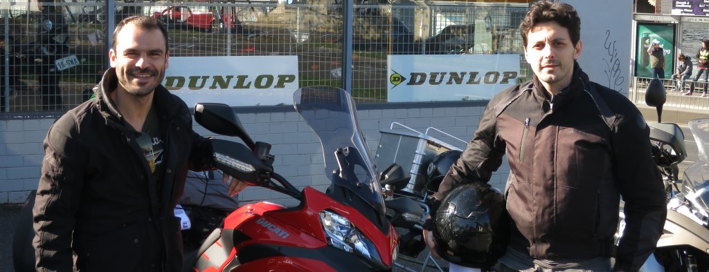
We took a flight to Melbourne, where we had arranged to rent the
bikes from Garner
Motorcycles. Their service was excellent, and we were ready to ride a
couple of hours after landing to Australia. The first picture is before the
beginning of the trip outside Garner Moto. Note that since it was June (start
of winter in Australia), we brought heavy bike gear. We started with direction
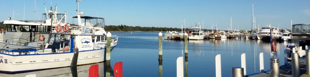
east towards the coast. Our first stop for the night was at Lakes Entrance (see
second picture below), a picturesque town, which I assume is rather busy in the
summer (but not when we visited).
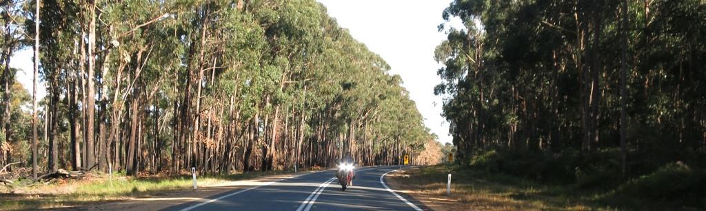
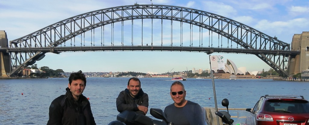
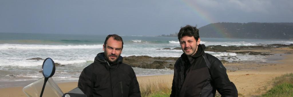
The next day we continued towards Sydney.
Although the road is close to the sea, there is no seaview for most part. In
general, with few exceptions, throughout the trip the landscape was boring:
mostly straight lines with eucalyptus trees blocking the view on both sides, as
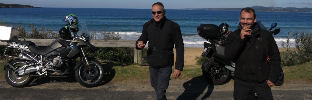
in the first picture below. The second picture is a stop at Eden, the
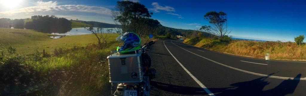
southernmost town on the east coast of Australia. The third picture is one of
the landscape exceptions, with a lake on the left hand side and the ocean on
the right.
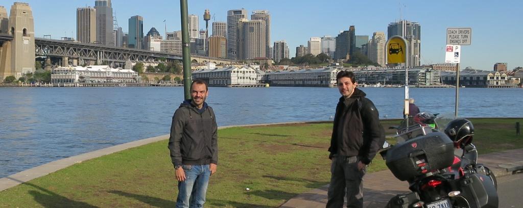
At Sydney we stayed for a couple of days. It is beautiful and clean.
However, we did not manage to find proper nightlife (but we were there during
week-nights). Moreover, they have some strange rules in the bars. First there
is lockdown, meaning that after some time you cannot exit the bar, not even for
smoking, which is obviously prohibited inside. Supposedly, this helps reduce
the fights among drunk people, but I cannot see how. Second, in some bars they
do not serve hard liqueur on the rocks, or with water, or even with soda water.
Consequently, I had, for the first time in my life, whiskey with lime, which
was an unpleasant experience. If the first rule is inexplicable, the second one
is much more beyond that. Below, some pictures from Sydney.
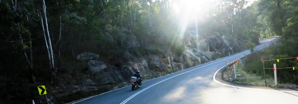
After Sydney, we continued for about 100 km north and then west towards
the interior. There is not much to see there, but we enjoyed the ride inside
Wollemi National Park - it was the most exciting road for bike riding that we
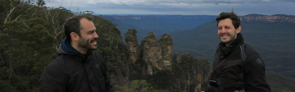
encountered in Australia (see first picture below). We then went to Katoomba,
at the Blue Mountains range, one of the largest in Australia, but small by any
other standard since Australia does not really have high mountains. The rocks
at the second picture below are called "three sisters", and
constitute one of the major touristic sites.
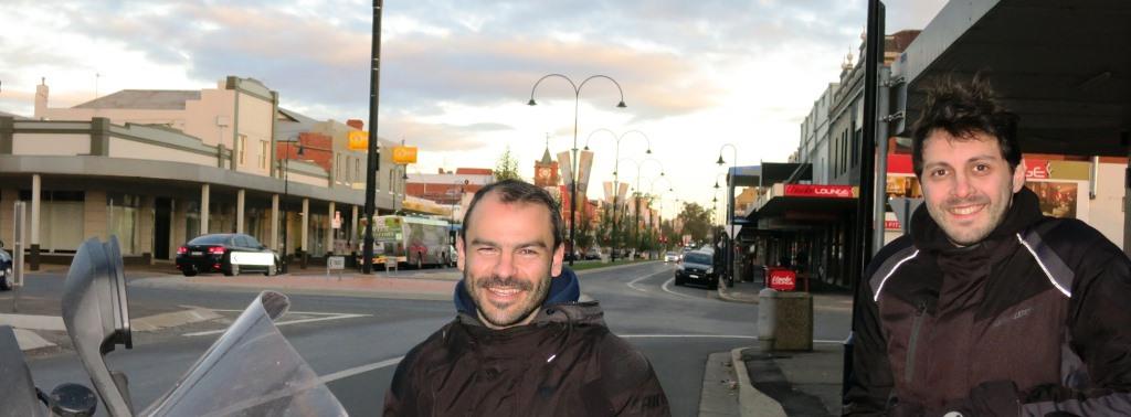
From Katoomba, it is about 2 days ride to Melbourne. We stopped at
Wagga Wagga (first picture below), midway between Sydney and Melbourne. It is
the largest inland city in NSW (population 46,000). After an uneventful night
that we had to drink our whiskeys with soda water (at least not lime this
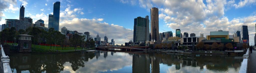
time), we continued towards Melbourne (second picture below), which is similar
to Sydney but a bit more multi-cultural due to the immigrants from Southern
Europe, including many Greeks. Although we stayed in Melbourne for almost a
week, we again did not manage to find proper nightlife, despite repeated
attempts. However, near Melbourne starts the Great Ocean Road that
traverses through beaches, cliffs and rainforests (third picture below).
Conclusion: Unfortunately, there is not much to say about the trip
because nothing really interesting happened. With few exceptions, the landscape
and the ride were boring. Moreover there were speed cameras everywhere (we
received a couple of speeding tickets by post a few weeks after the trip).
Except for the gas, everything else (e.g., food, water, drinks) is expensive.
Given that the nights were also uneventful and regulated (whiskey with lime!),
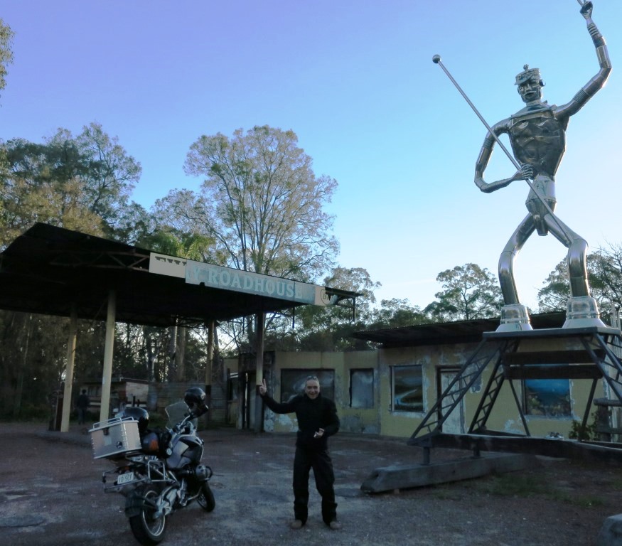
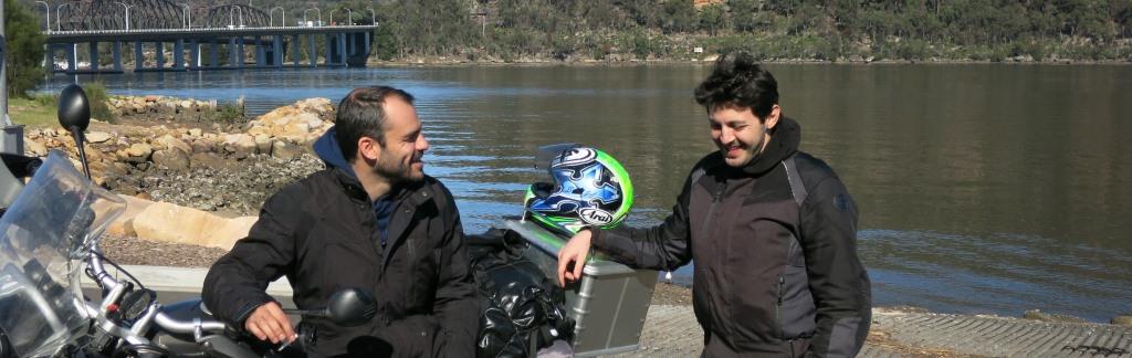
it is a trip I would not recommend. Below, are pictures during some stops;
probably among the most memorable moments of the trip.
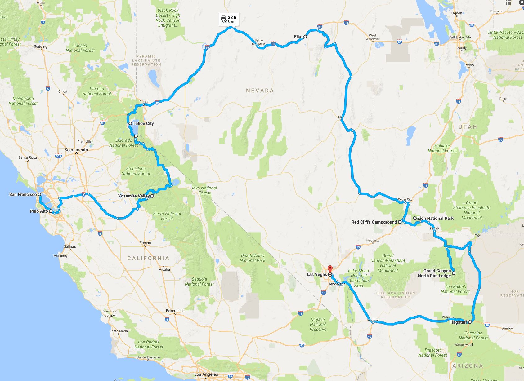
Western US: California, Nevada, Utah, Arizona, Idaho, Wyoming,
Montana with Panos and a BMW 1150 RT (and a Toyota Corolla!).
Although I had done tours of the US with cars before, this was the
first time on a motorbike. Since renting a proper bike is in general very
expensive, we decided to buy a used BMW and sell it after the end of the trip. As discussed
later, this proved to be a bad idea. Nevertheless, we started from San
Francisco on a beautiful day with destination Yosemite National Park about 320
km away. The route is mostly highways except for the part near Yosemite. The
only interesting incident happened when, during a stop, we entered 20 meters in
a farm, in order to take cover in the shadow of the trees (see first pic
below). Immediately a farmer came out of nowhere and asked us to exit his
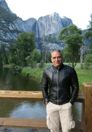
property; this was not the kind of hospitality we experienced in previous trips.
The Yosemite valley is very beautiful (see second pic), but the camp-site
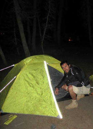
was full; so we had to go to another one, at altitude around 2500 meters, to
set our tent. We arrived there at night, totally freezing as the temperature
was below 0 degrees Celsius. We quickly set up the tent (see third pic), and we
tried to eat at the local kiosk. Not only we were not allowed to do so because
we were 10 minutes past the closing time, but we were told that we could not
stay inside to warm our bones. Supposedly, they wanted to clean up, but they
were still serving food. In general, although we found professionalism
everywhere during the trip, I cannot say that we encountered true hospitality.
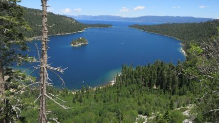
The second day we continued exploring the mountains in Yosemite
Park. The first picture below is at altitude above 3000m. Then, we continued
towards lake Tahoe, about 200km to the north. The lake is impressive, with
great forests ending next to the water.
 \
\
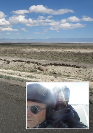
After Tahoe, we continued on highway 80, crossing Nevada with
direction northeast. The highway is mostly a straight line in the desert (see
first pic below) and dull. This actually made me realize why there are so many
Harleys in the US - there is no need to turn much. The temperature was
gradually dropping and when we reached Elko (northeast Nevada) at night, we
were again freezing. Although our original goal was to go to Yellowstone
National Park, we were not properly equipped to handle the harsh weather (snow,
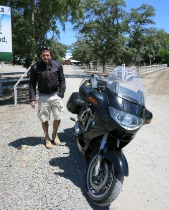
and below zero temperatures at night). Thus, the next day, we continued south,
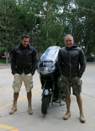
in search for higher temperatures. Optimistically, we wore our shorts (see
second pic) for the trip. Indeed we were right and in the evening when we
reached the Red Cliffs Conservation Area (Utah, borders with Nevada, about
750km south Elko, third picture) the weather was pleasant.
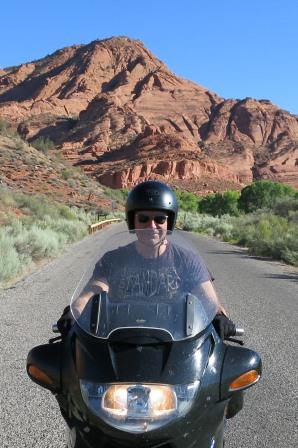
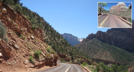
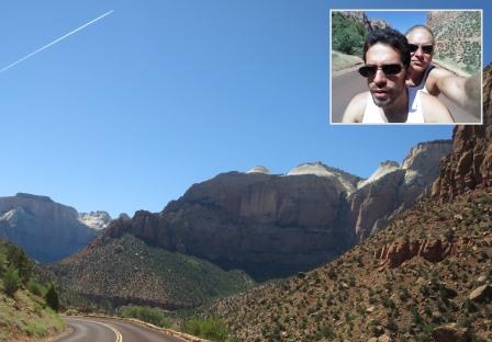
The next day we did the short ride to Zion National Park (Utah). It is
worthwhile mentioning that helmets are not mandatory in Utah (and Arizona).
Zion contains an impressive canyon with very nice trekking and climbing paths.
We also swam in the river - the water was cold but bearable.
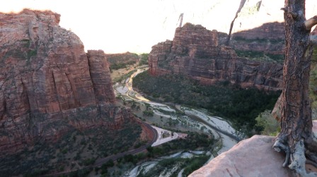
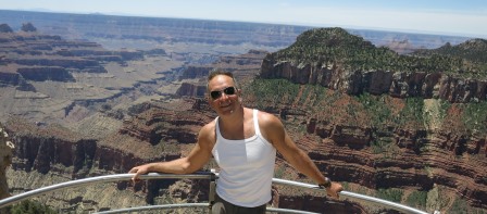
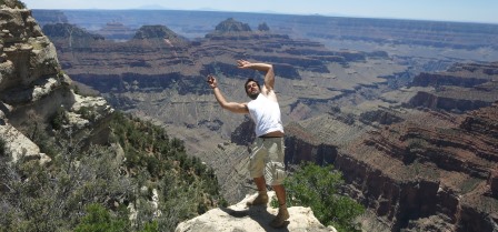
From Zion we continued towards
the north rim of Grand Canyon (Arizona). Although the distance is less than
200km, we enjoyed riding the twisty roads inside the forests. As shown in the
pictures below, the view from the top of the canyon is breathtaking.
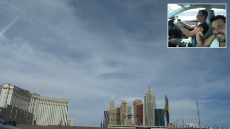
After Grand
Canyon, the plan was to continue south towards Flagstaff (about 300km) and then
Las Vegas (another 400km from Flagstaff) for poker. However, at this point we
ran out of luck. Somewhere in the desert on the way to Flagstaff, while the
landscape resembled western movies (see pic below) and the temperature was
about 45 degrees Celsius, the gearbox failed. This means that the motorbike
would only start when rolling downhill, which is difficult to find in the
desert. With effort, and clutchless gear changes, we reached Flagstaff,
Arizona. Fortunately, near the entrance of the city we found a mechanic who
sent us to another one, at the other side, specializing in BMWs. We crossed the
main road of Flagstaff (Route 66), without stopping at a single traffic light.
Following the advice of the second mechanic, we decided to go to the BMW
service of Las Vegas. Riding to Las Vegas without a gearbox is a long story,
but we eventually managed it. Once in Vegas, the problems that we encountered
is another painful story ("what happens in Vegas stays in Vegas"),
but, to cut a long story short, we shipped the bike to San Francisco and rented
a Toyota Corolla to continue the trip. The second picture below is
"leaving Las Vegas" in the Corolla.

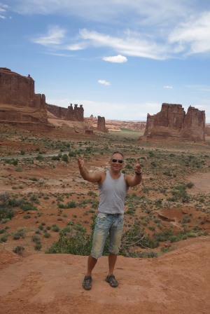
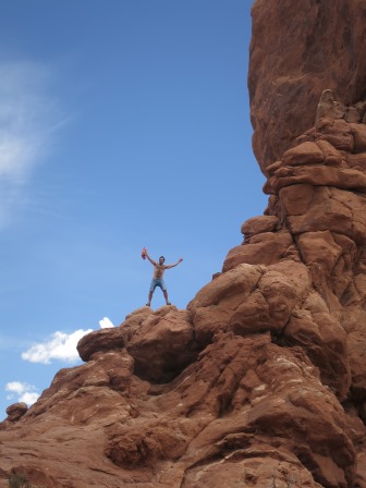
The second part of the trip, shown in the map was with the Corolla.
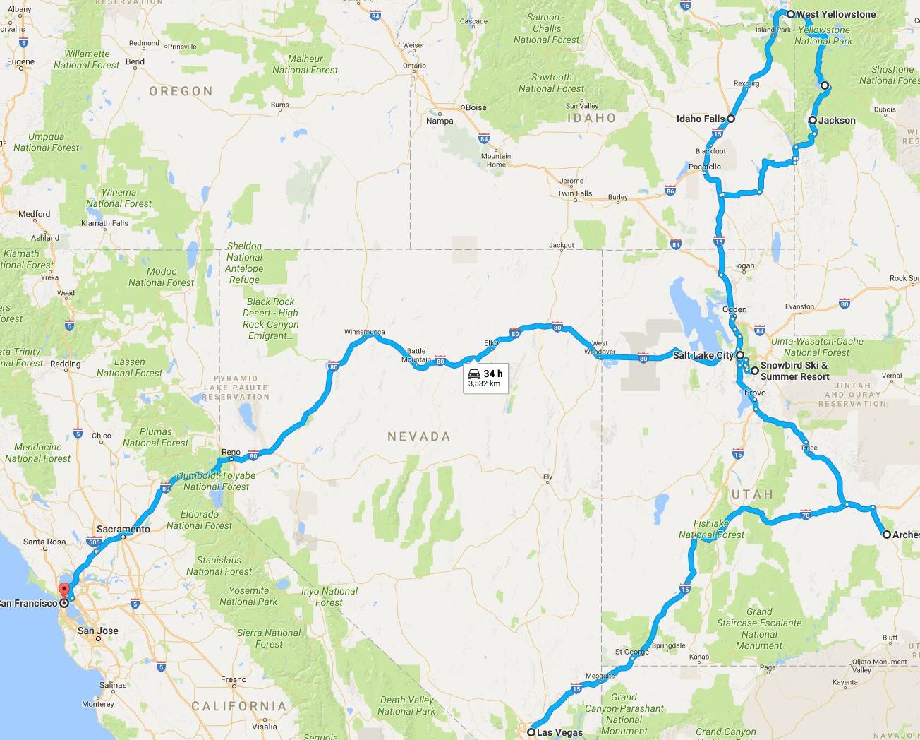
At least, with a car it was possible to visit Yellowstone National Park,
even in the absense of heavy clothes. Our next stop on the road to Yellowstone
was Arches National Park (Utah) about 750km northeast of Las Vegas. Again the
landscape reminded me of western movies.
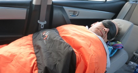
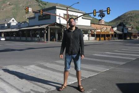
From Arches we drove to Jackson
Hole, Wyoming, about 850 km north. We arrived at 2am and everything was closed.
However, a benefit of the car is that you can sleep comfortably inside (see
first pic below), even when it is too cold for camping. Jackson Hole is a small
but picturesque ski resort. To be honest, given its reputation, I was expecting
a larger town - it basically has a main road and not much else. The second
picture below is at the town center.
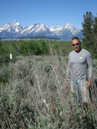
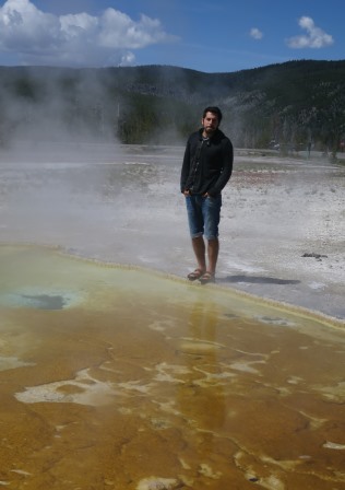
North of Jackson Hole is the Grand Teton mountain range (see first picture
below), and about 100km after that Yellowstone, one of the largest active
super-volcanoes featuring half of the world's geothermal features (see second
picture). In addition to geysers, it contains lakes, canyons, rivers and
mountain ranges. In my opinion, if you must see a national park in the US, this
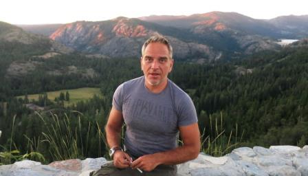
is it. After touring Yellowstone, we drove a bit in Montana, another state for
our itinerary (third picture), and then continued south to Salt Lake City
(Utah).

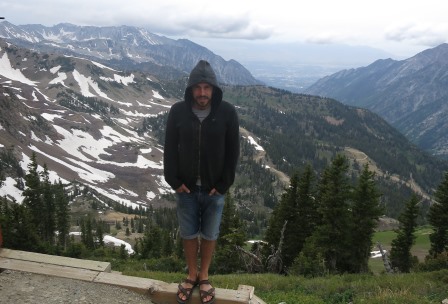
Salt Lake is a well organized city with not much to see and even less to do.
The landscape around it has some high mountains and ski resorts (first picture
below is Snowbird). At the end of our trip, we took highway 80, this time with
direction west, towards San Francisco (second picture is at a stop in Northern
California).
Bonus Pictures: Riding without helmets in Utah. Getting rid of the bike and
switching to the car at BMW Las Vegas.
Conclusion: It could have been a much better trip, if we did not have
the problem with the gearbox. Eventually, it was too expensive to fix and we
ended up selling the bike for spare parts. The landscape was at times
impressive (i.e., the national parks), but most rides were boring because the
roads were straight and the changes of scenery infrequent, especially in the
desert. Moreover, all the national parks that we visited were congested and
most campgrounds fully booked. The only place where we found some kind of
nightlife was San Francisco (in Las Vegas we had too many problems to think
about it). In the rest of the towns and cities, it was difficult even to find a
restaurant after 9pm. We did not have to pay tolls anywhere (in Europe we would
spend several hundreds of Euros for the same distance). We were stopped for
speeding three times; the first two the policemen let it go when they saw my
international driver license. The third time Panos was exceeding 170km/h in
Idaho and the policeman gave him a ticket for $250, which he kept as a
collectible from the trip - I guess he will not drive in Idaho again.
2013
Sardinia, Italy and Corsica, France with Andreas and 2 BMW 1200
GS.
This year's trip was
"light" since it included two popular touristic destinations in
developed countries. We took the usual boat from Patra (Greece) to Ancona
(Italy).
From there we drove about 400km to Livorno, but instead of highways, we chose
the equally fast route through Perugia using national roads.
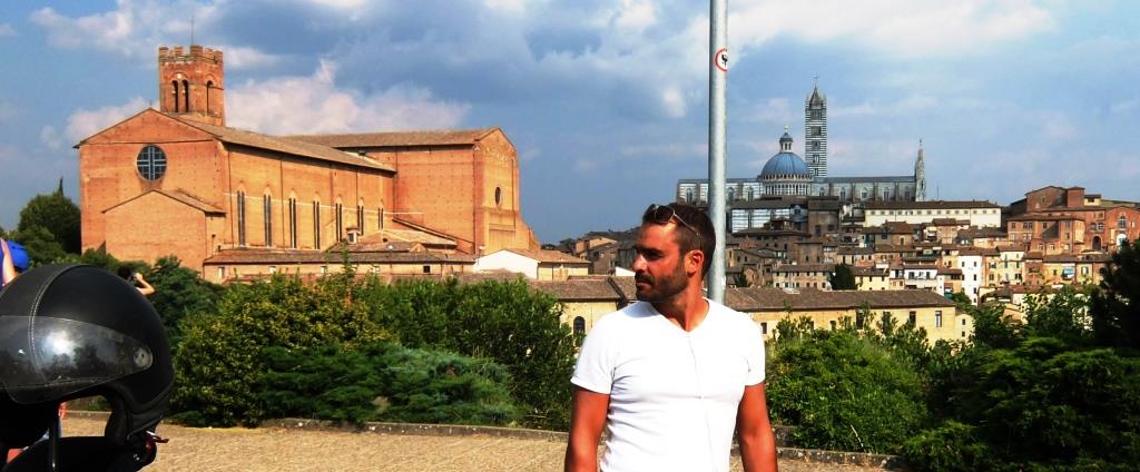
In addition to avoiding the tolls, this route involves some beautiful landscape
in Umbria and Tuscany, and permits quick visits to Siena and/or Florence.
To add excitement, we had intentionally not looked at the ferry schedules in
advance; therefore, when we arrived at Livorno in the evening, we only found
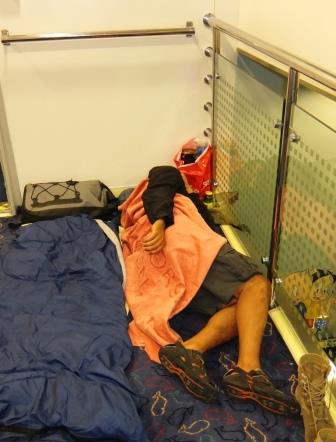
one ferry departing to Olbia, Sardinia. As in all the ferry trips this summer, we slept somewhere on the
floor, and we arrived fresh in Sardinia in the morning.
Pictures below: a quick stop in Siena and sleeping accommodations in the
ferry.
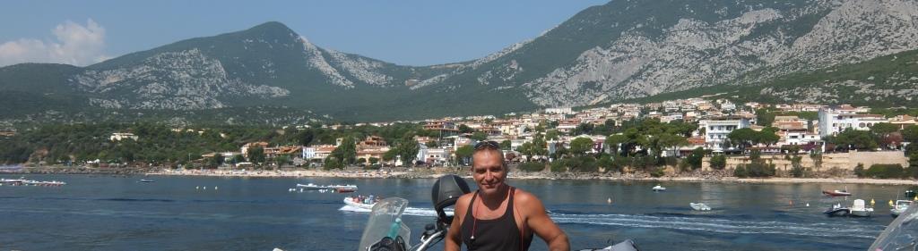
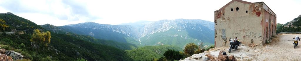
The first day in Sardinia, we rode the eastern part from north to
south, passing through some beaches around Orosei and great roads on the
mountains of Parco Nazionale del Gennargentu (see pictures below). However, the
second part (southern) of the trip is not really interesting as it involves
monotonous landscape through uninteresting villages. Actually, with a few
exceptions (e.g., the old town of Cagliari), we were not impressed by the
architecture of Sardinia. After our stay in Cagliari (the capital), we were not
overwhelmed with the nightlife either.
Although we encountered some nice beaches on the way, we expected more given
the reputation of the place. The same was true for the northern
coastline.
Thus, after some quick discussion, we decided to advance our visit to Corsica.
It is worth mentioning that when we were “racing” with Andreas in the remote
twisty roads of north Sardinia, a local “pilot” riding a T-Max, overtook us
both, rather easily.
Before that incident, I thought that it is not possible for a scooter to
overtake a 1200 GS, independently of the road conditions and the driver
capabilities.
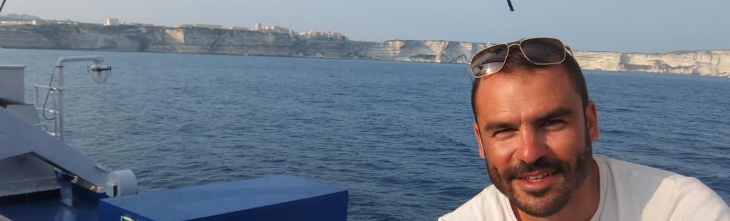
The ferry from Lungone
(north-east Sardinia) to Bonifacio (south Corsica) takes about an hour.
Bonifacio is striking both when approaching with the ferry and when walking
around inside. Fortunately, our positive impression of Corsica remained during
the rest of our visit.
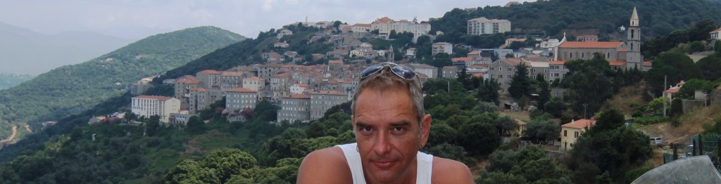
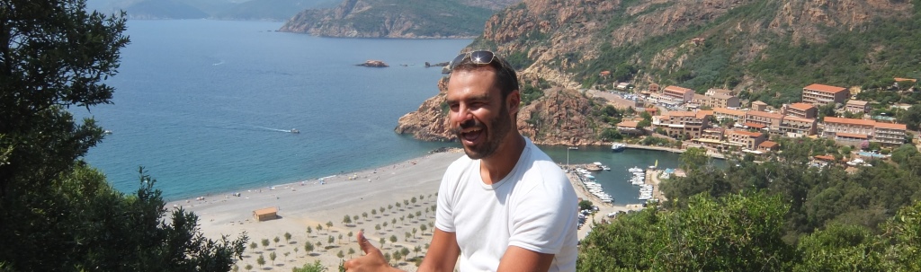
I will let the pictures below to
do the talking.
Approaching Corsica by ferry.
Bonifacio in the background.
Sartene, south-west Corsica.
Porto, west Corsica
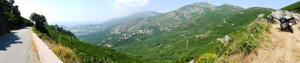
Typical landscape, west Corsica
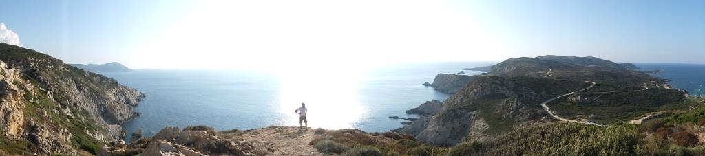
Roadside, north Corsica
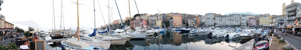
Old port of Bastia, the capital
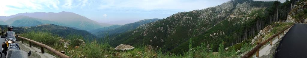
The mountains near Ghisoni, central Corsica (the altitude at that point
was more than 2,000m).
The only problem in Corsica was that my moto-luggage was stolen at
night, outside our hotel in Bastia. Fortunately, I did not have valuables
inside, but it feels strange after visiting so many exotic places,to have
this experience in France. On the way back, we took a ferry from Bastia to
Savona, Italy (again it was the only ferry departing when we decided the trip
home).
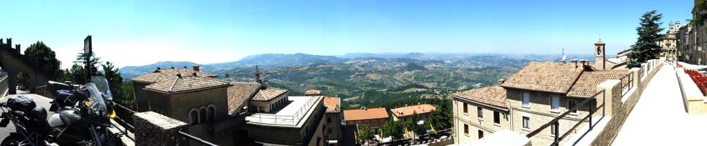
T he ride through the highways
of north Italy was uneventful, except that we stopped at San Marino, a
micro-state near Ancona. Unfortunately, unlike Gibraltar and Andora, San Marino
does not have duty free goods.
San Marino (pretty much that's
it - population 30,000)
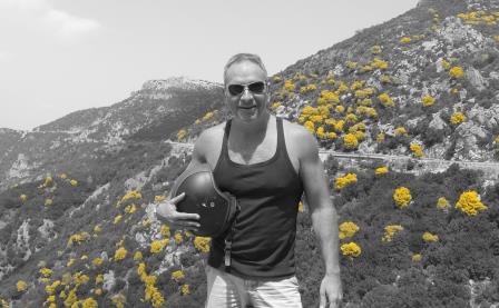
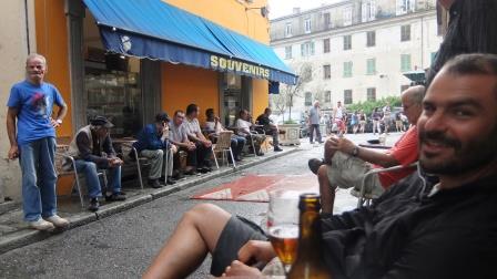
Bonus Pictures: Yellow plants in the mountains of Sardinia. Andreas and
locals in Corte, Corsica.
Conclusion: An easy trip. Despite
being about one third the size of Sardinia, we found Corsica much more
interesting and pleasant, but we may have missed something in Sardinia.
Except for the stolen luggage, the only issue I can see in such a
trip are the high prices, especially in Corsica. We often paid 3-5 Euros for a
bottle of water, sometimes in the middle of nowhere. The common charge for
hotels in touristic (i.e., most) areas, was 140 Euros. The ferry tickets were
also rather expensive, but then we visited during the high season.
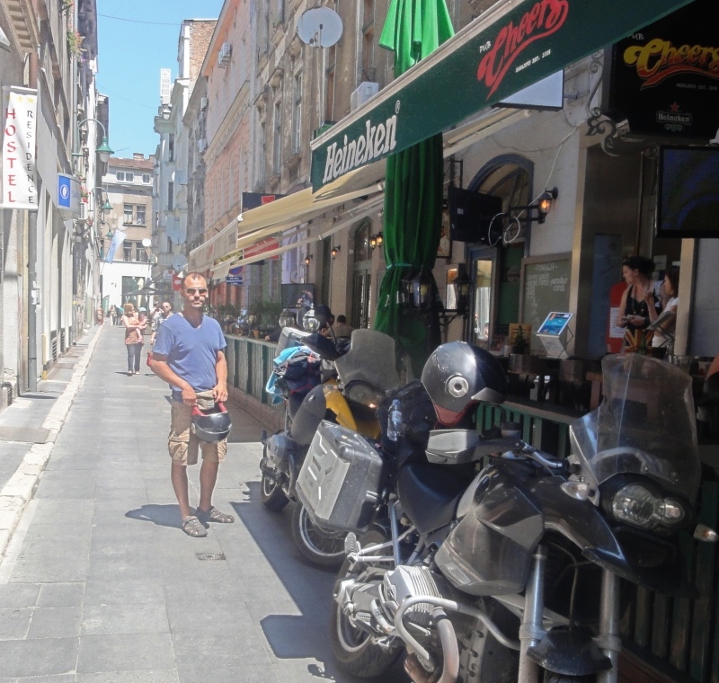
2012
Albania - Montenegro - Croatia -
Bosnia – Serbia - FYROM, July 2012 with Andreas and 2
BMW 1200 GS.
I met with Andreas at Patra,
we drove to Northwestern Greece to the border with Albania near Kalpaki (north
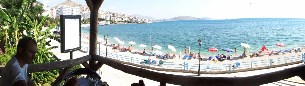
of Ioannina), and then to Sarande,
the largest city in the south of Albania.
The distance is around 330km and the border crossing easy. The
terrain in the south part of Albania is mountainous and the roads are narrow. I
would avoid this trip with a car –
you may remain stuck behind a truck for a long time since
overtaking is difficult. Photo below is at the start of the trip outside Patra.
There were nice beaches, coffee shops and numerous people enjoying
the sun and the sea.
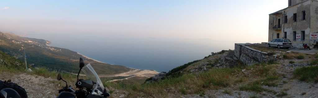
From Sarande, we took the coastal
route to Vlore, the largest Albanian city by the sea. The distance is less than
200km, but the road is narrow and twisy.
However, the bike trip was worth it, as it is the most scenic
route we found in Albania (see two pictures below).
Vlore was full of tourists, mostly from other parts of Albania.
The northern part of Albania (after Vlore) is flat, and the trip
was boring. Moreover, there was heavy traffic especially when approaching the
capital Tirana.
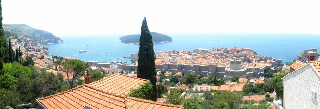
Then, we visited Dubrovnik, Croatia, which is a short drive
(120km) from Budva. Dubrovnik is a truly
international destination and it does not really resemble the rest of the
Balkans.
It is definitely worth visiting, but it was too civilized for our
taste. Therefore, after staying for the night we continued towards Bosnia.
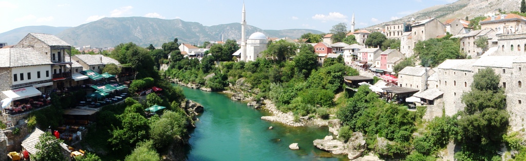
Although it is mostly re-built today, you can still see the marks
of shelling and bullets on several building. The picture below is taken
from Stari Most (bridge), the
landmark of Mostar.
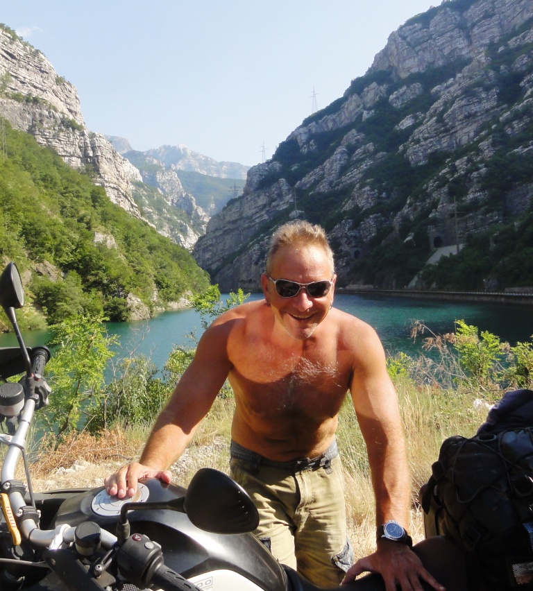
The road from Mostar to Sarajevo (70km), is
mostly next to Neretva river and rather
scenic. Since it was very hot during that day, we swam into the river which,
surprisingly, was very pleasant
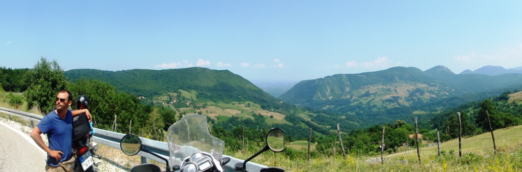
The part of the road Sarajevo – Belgrade
(total distance about 200km) in Bosnia passes through picturesque mountains and
it was a pleasure to drive (see photo below). However, the Serbian part is flat.
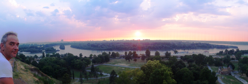
We stayed in Belgrade for a couple of days and we enjoyed it. The
city is beautiful and the nightlife lively, especially in the weekends. Start
with a coffee or early drink at Strahinjića Bana,
Below, sunset at the castle of
Belgrade with a view of the Danube.
The return to Greece was uneventful. We had a stop-over at Skopjie,
the capital of FYROM, where most landmarks (e.g., airport, main highway and
square) are called Alexander the Great.
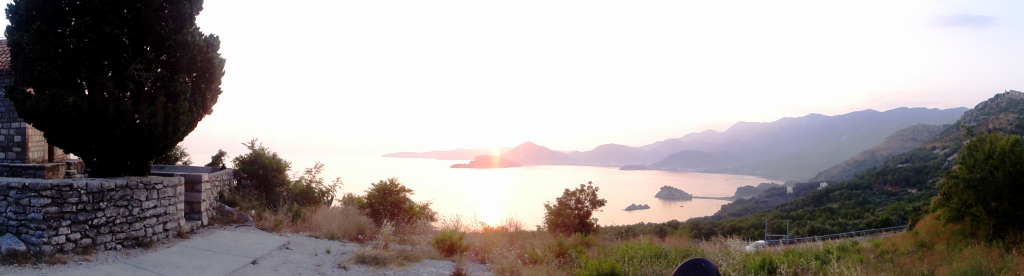
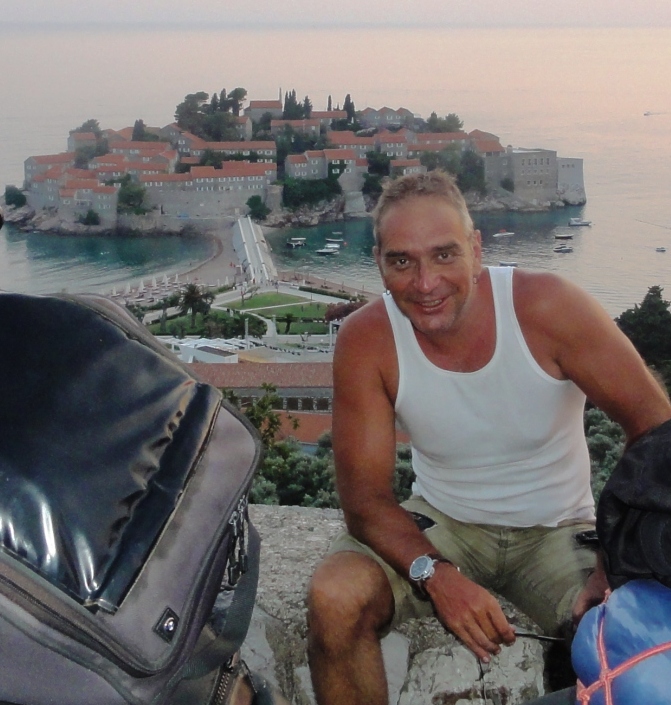
Bonus pictures
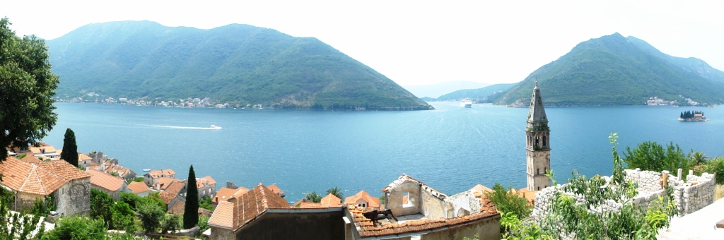
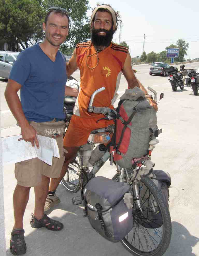
On the left, a stop at Sveti Stefan in Montenegro. On the right, outside Tirana we met a cyclist who was
returning home to Spain after a 3-year tour of the world. This is indeed
hard-core touring.
Conclusion: Compared to some previous
trips (e.g., Morocco, Syria), this was a walk in the park in terms of
conditions and kilometers travelled.
France - Spain - Morocco - Portugal - Andorra, July 2011 with
Andreas and 2 BMW 1200 GS.
We started our trip from
Peloponnese, Greece. Here, outside Andreas' house, lighting "one for the
road" - in the background the bikes fully packed.
We took the ferry from Patra, and after 23 hours we reached Ancona, Italy.
There are 1-2 ferries per day Patra - Ancona, and the tickets are relatively
cheap for the distance and the quality.Below, Andreas at the port of Ancona.
The weather was cloudy (common for northern Italy - as opposed to Greece in the
summer), which is convenient for long riding.

We crossed northern Italy and part of southern France (a total of about 900km)
in a single day, in order to reach Aix en Provence, where we stayed at a
friend's place. For those who are not familiar, the highway tolls are very
expensive in Italy and France, and even more so in Spain. Moreover, there are a
lot of speed cameras in France (not that we cared because of our Greek plates).
Continuing south, we visited Sete, a tradditional town 20km south of
Montpellier, and Cap d'Adge, a beach town around 30 km further (see pic below).
I prefer this area to the more touristic (and in my opinion overdeveloped)
strip between Nice and Cannes, i.e., the most famous part of Cote d' Azur.
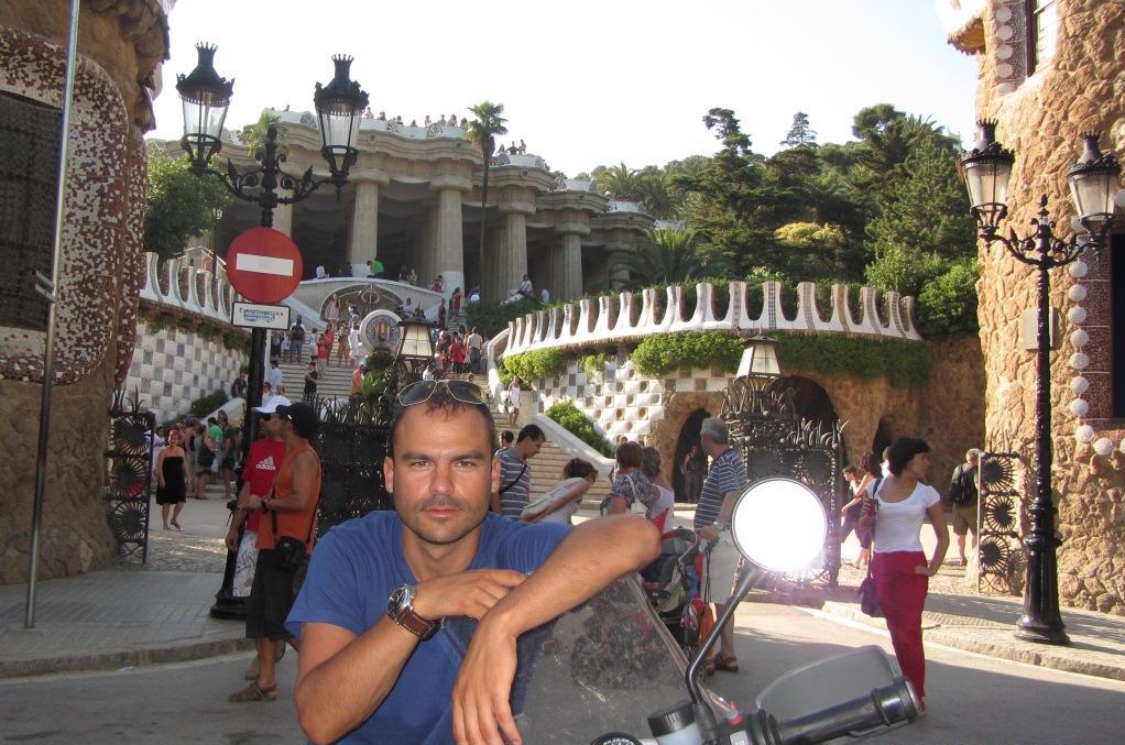
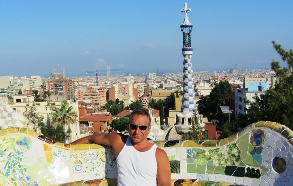
We continued to Barcelona, where we stayed for a couple of
days. Barcelona has extraordinary architecture, nice beaches nearby and
lively nightlife. However, it is very busy during the summer, and we spent
several hours before we found a hotel downtown.
After Barcelona, we crossed most of mediterranean Spain (650 km) to Almeria.
Although, we arrived late (around 10pm), there were 3 ferries departing to
Morocco within the next 1-2 hours. However, they seemed fully booked (due to
Moroccan immigrants returning home), and people in that part of Europe do not,
in general, speak English. Eventually, we managed to get tickets and depart
around 11:30pm to Nador, east Morocco. It is worth mentioning that, although
the trip is only 5-6 hours, the tickets were more expensive than those for
Ancona-Patra (23 hours and much better ferries). The good thing is that in the
ferry there were Moroccan officers so that passengers can pass through the
time-consuming immigration procedures during the trip. Indeed, we spent most of
the trip completing forms and queuing up, so that upon arrival, we only had to
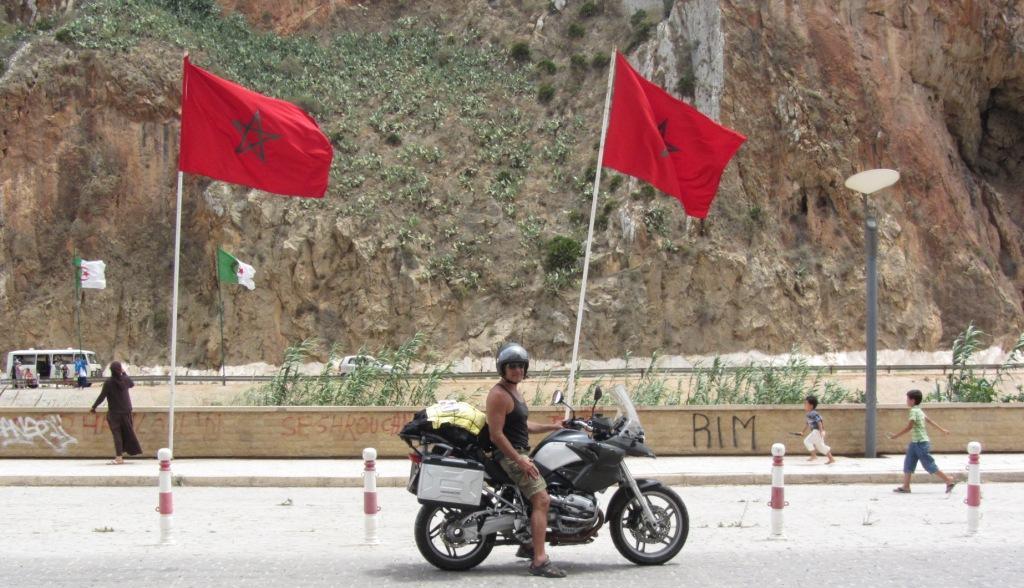
wait for about half an hour at the customs. From Nador, we continued east, on
the mediterranean coastline, until reaching the borders with Algeria (see pics
below). On the way we stopped for coffee and swimming at the (touristic) beach
town of Saidia. Although the landscape and the sea was nice, I cannot say that
we were overwhelmed (maybe our Greek standards are too high).
Mediterranean coastline at east Morocco and border with Algeria
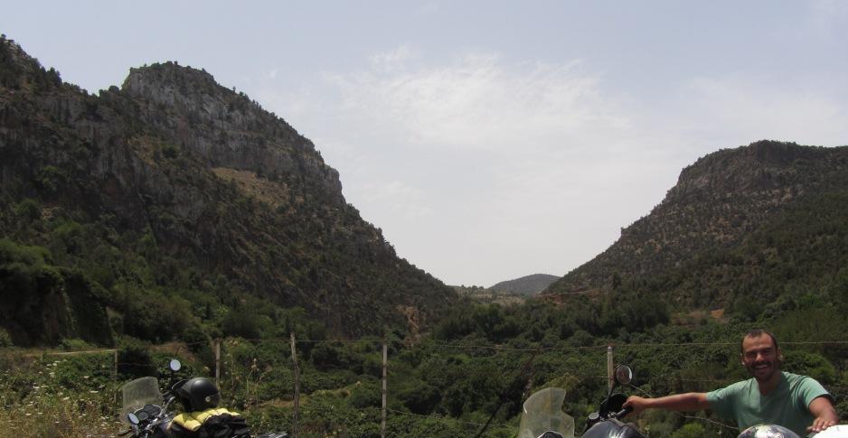
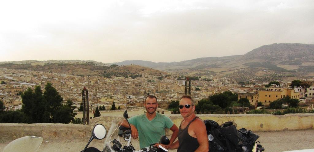
From there, we turned southwest and we rode through a gorge at the national
park near Berkane, stopping on the way to sample the local cuisine (see pics
below). After the park, and towards Fes the landscape changes to desert-like
and we encountered the highest temperatures in our lives. It must have been
well above 50 Celsius, despite being cloudy. We were afraid that either we, or
the bikes, would crack under the extreme heat, but eventually we all made it to
Fes.
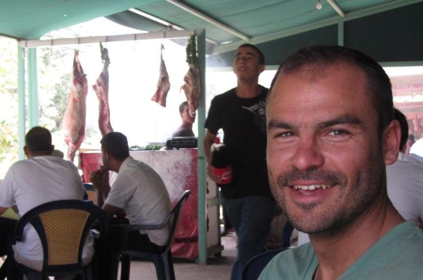
Most Arab cities have a "medina", i.e., an old town surrounded by
walls. The picture below is outside the medina of Fes, possibly the largest in
Africa..
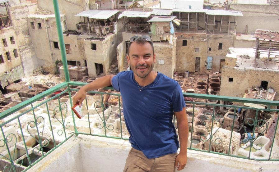
Inside the medina there are open markets as well as workshops for making local
artifacts. Below Andreas outside a tannery - Fes is famous for its leather
products.
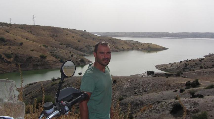
From Fes we drove to Marrakech in a single day. Although, the distance is not
large (around 400km), it was one of our most difficult days, due to the extreme
temperatures, the bad road and the heavy traffic. You can see the discomfort in
our faces in the pictures below. We actually wanted to cool down in the lake of
the first pic, but we did not manage to get the bikes close enough.
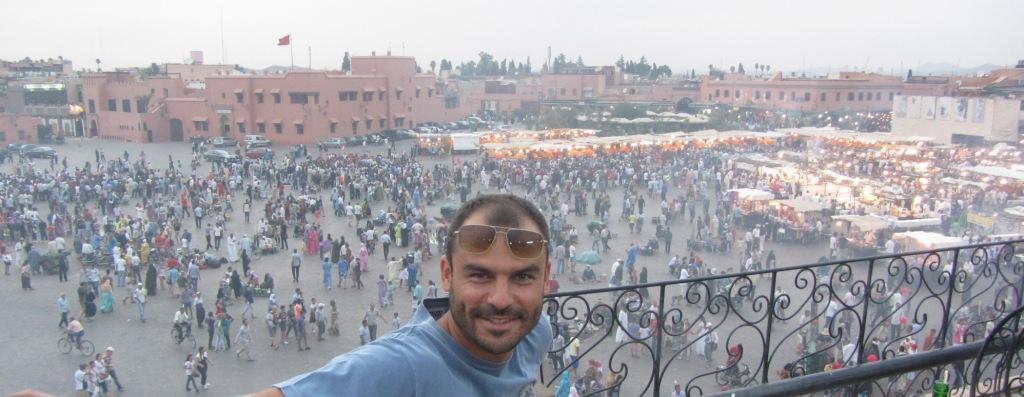
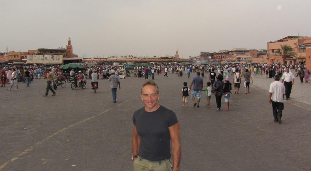
We liked Marrakech more than any other city in Morocco. It has a huge open
market (see pics below), with many shops, open restaurants, coffee shops and
strange characters that perform all kinds of tricks. It also has decent bars. A
word of advice though: if you see a beautiful woman smiling at you in a bar
don't get too excited; chances are that she is working.
This is true for most (if not all) single women in bars in Morocco. On the
positive side, despite being a Muslim country, it is easy (but relatively
expensive) to find whiskey and most types of alcohol.
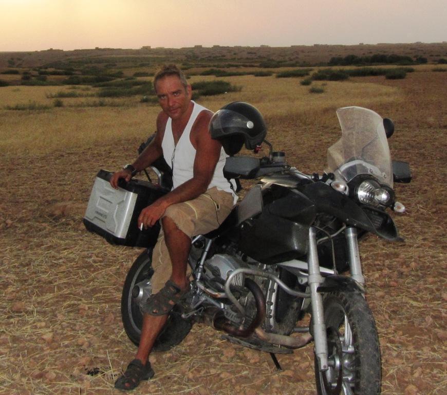
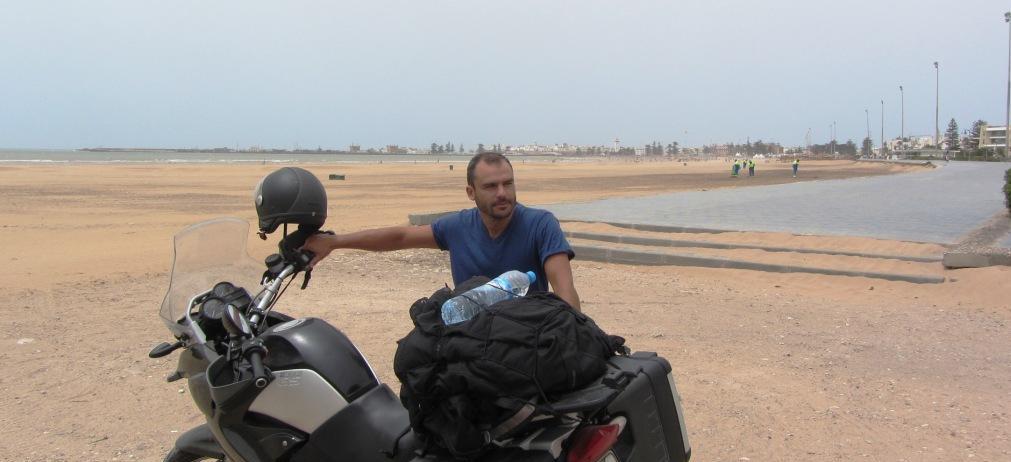
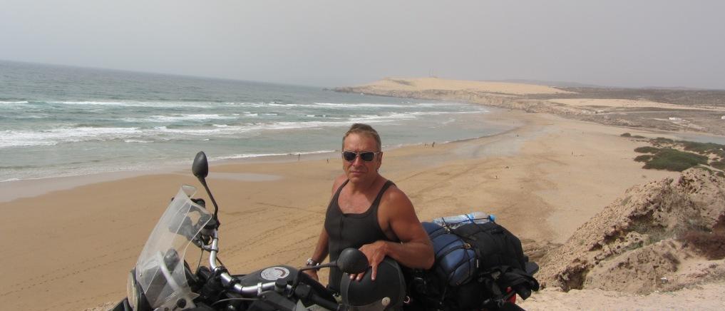
Our next stop was Essaouira, west of Marrakech, on the Atlantic ocean. We were
mostly impressed by the sudden drop of temperature when reaching the
ocean, since within a few kilometers of intensive heat, we had to wear the
winter jackets. Because of the low temperature and the strong winds, there was
nobody swimming, but many people were wind and kite surfing.
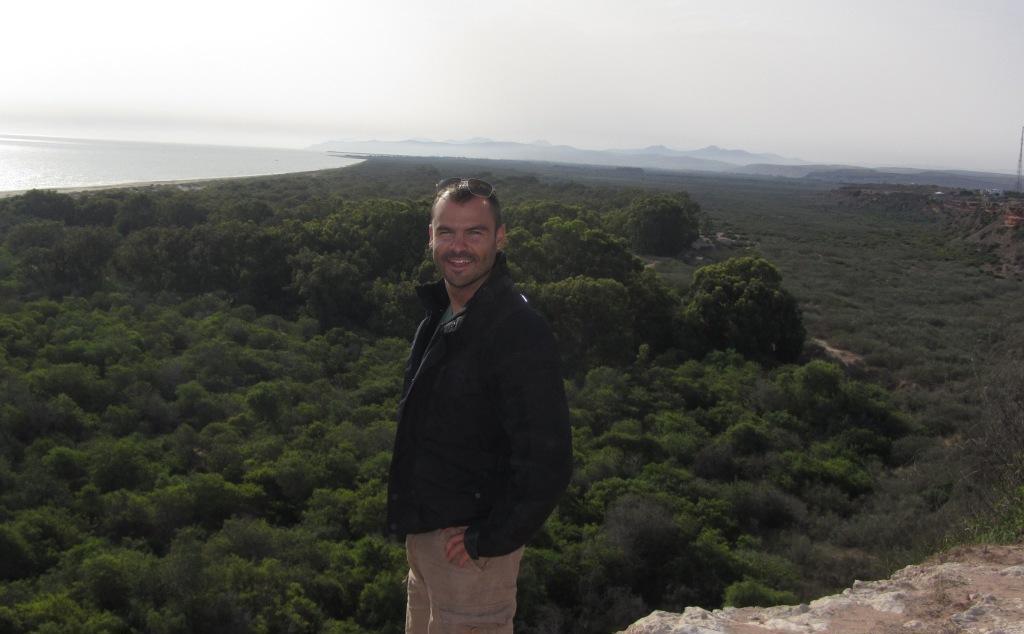
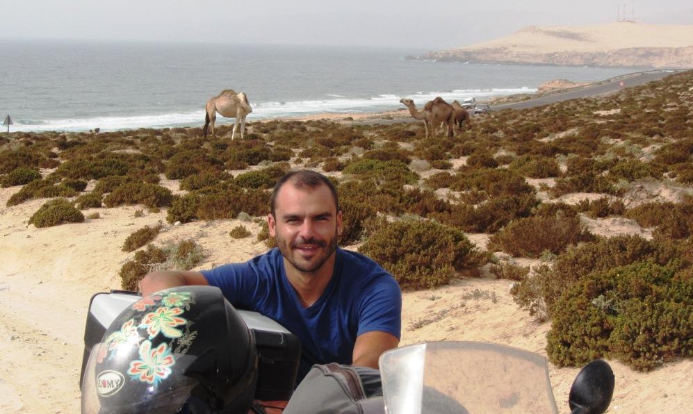
The road south of Essaouira,
towards Agadir, passes through some beautiful beaches. Possibly, this was the
most scenic route we did in Morocco (but we did not go up the Atlas
mountains).
Agadir is a modern beach town on the Atlantic, near the border with Western
Sahara. It has lots of tourists from Morocco and elsewhere, but not much
character (and no medina).
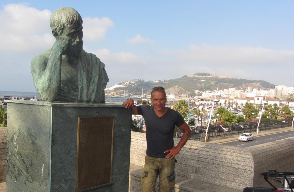
We stayed for a night and then headed north, taking the only highway in
Morocco. After a stop in Casablanca, we drove all the way to Ceuta, the Spanish
enclave at the northern tip of Morocco. Entering Ceuta was impressive. Although
still in Africa, it could be a nice town anywhere in Spain. We stayed there for
a couple of days. Andreas even participated in a poker (hold' em) tournament at
the local casino and got second prize (and a useful amount of cash).
The statue in the picture is Plato, another reminder that we are back in
European culture.
The ferry trip for Ceuta to Algeciras (Spanish city on the
European coast) takes about an hour. The picture below is from this trip, with
Gibraltar rock in the background.

Similar to Ceuta in Morocco, Gibraltar is a small British colony
in Spanish territory, and requires passport inspection. Except for the
duty-free cigarettes and alcohol, we did not find any reason to stay there -
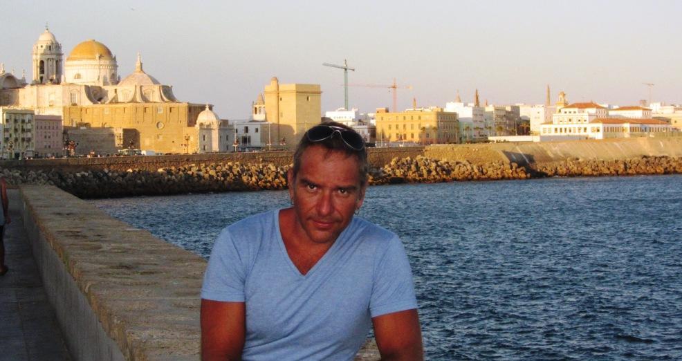
instead we continued west towards the Atlantic coast of Spain.
After a scenic, but windy, route we reached Cadiz, a beautiful
town on the Atlantic (see pic below), with a well-preserved historic town
center.
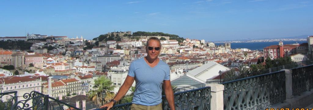
From Cadiz we rode to Lisbon, Portugal, a distance of about 600km . The road
was mostly highway, and the trip was easy (if not boring). I had never been to
Lisbon before and I was pleasantly surprised. It is an imposing city built at a
striking location. We also happened to be there in a weekend, and it was nice
to see so many people out partying (compared to our previous unexciting nights
in Morocco).
During the trip from Lisbon to Porto (north Portugal), we encountered some very
strong winds and rather cold weather (we had to wear the winter jackets again).
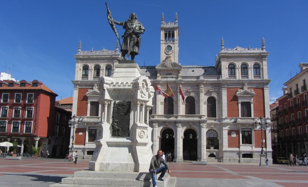
After Porto we turned east, towards the mountainous area near the border,
re-entered Spain and continued until Valladolid. This was probably the day that
we covered the longest distance (we crossed more than half of Portugal
south-north, and almost half of Spain west-east). Below Andreas at the central
plaza of Valladolid.
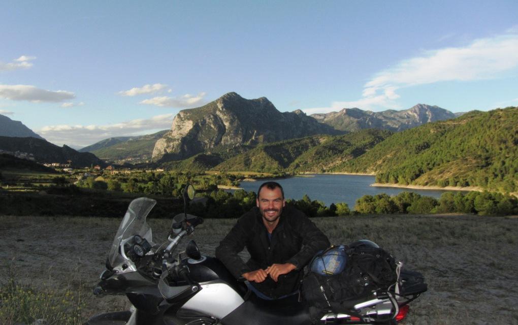
From Valladolid, we took country roads to Zaragoza, the highway to Lleida, and
then we turned north to Andorra. The last part is on the Pyrenees and involves
some breathtaking landscape, as shown in the picture below. Obviously, the
temperature dropped as we climbed the mountains, and the evening in Andorra
(altitude more than 1000m) reminded me of winter in Greece.
Andorra is an independent principality, sandwiched between Spain and France,
and entering it requires a fast passport inspection. It contains a small town
and a few villages nearby,
for a total of 80,000 people. Although there is not much to see, it is a
shopper's paradise, at least according to European standards. In addition to
the usual tax-free suspects (alcohol, cigarettes),
you can find cheap designer clothes, and most importantly for us, motorbike
accessories. We bought helmets, gore-tex jackets, and other
small things.
However, the smile in the picture below, is because we found (and transported
on the bike all the way to Greece), a gallon (4.5 liter) bottle of Jameson
(Ireland's finest whiskey) for only 50 Euros. Priceless.
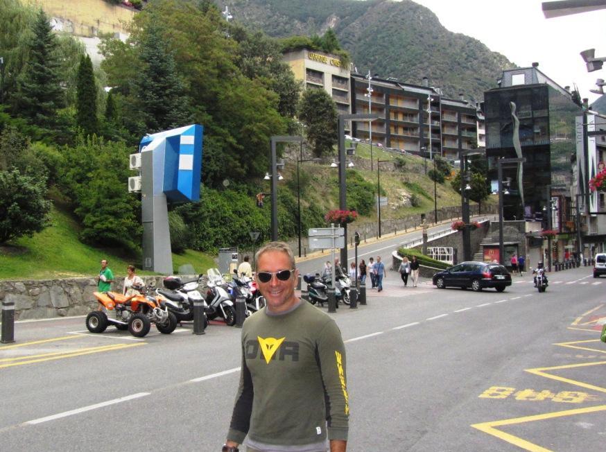
The route from Andorra to France also involves some curvy roads (see pic
below). It was unusually cold and windy for the season (at some point we saw a
thermometer indicating 6 degree Celsius in relatively low altitude), but I
prefer this to the heat of the desert. After a few days stay with friends and
family in Montpellier, France, we took the way back to Greece, where we enjoyed
the rest of the summer drinking Jameson.

Conclusion: Since most people know what to expect in Europe, I will
focus on Morocco. First, I recommend this trip as an experience, but not
for having a good time
(if you look for a good time you'd better fly to a luxurious resort in Greece,
Brazil, or Thailand with much less money than the cost of the bike trip).
Often, the heat is too much, the roads too bad, the people too poor, the
beaches not that good, and the nightlife not that exciting. However, I am happy
that I did it, and I would do it again soon if only it were closer to Greece,
at least to go-up the Atlas mountains and deeper in Sahara. But I would choose
a cooler season.
Regarding the practical issues, we always felt secure, but we avoided the
lawless hash-growing areas around Ketama. Although we had heard stories about
bribe-taking police officers, we did not have any problem; we were never
stopped and the policemen were willing to help us whenever we asked for
directions. There was unleaded gas almost everywhere, but sometimes of dubious quality
(the engines would occasionally complain). Next time, I would avoid the gas
stations with goats and other folk themes, and go to the more modern looking
ones instead.
The only complaint was about the people who were bothering us all the time,
asking for cash in exchange for services like parking the motorbikes,
completing custom forms,
finding hotels, guiding us through the cities etc. In most cases, we simply
ignored them, unless we really needed to find a hotel or navigate through a
city fast.
Finally, this
link contains useful information about custom procedures and riding in
Morocco from somebody much more experienced on the topic.
Bonus pictures:
Andreas with his new friends, and a local chef (perhaps surprisingly, we did
not have diarrhoeas or related problems this year - maybe we got stronger after
last year's experience in Lebanon).
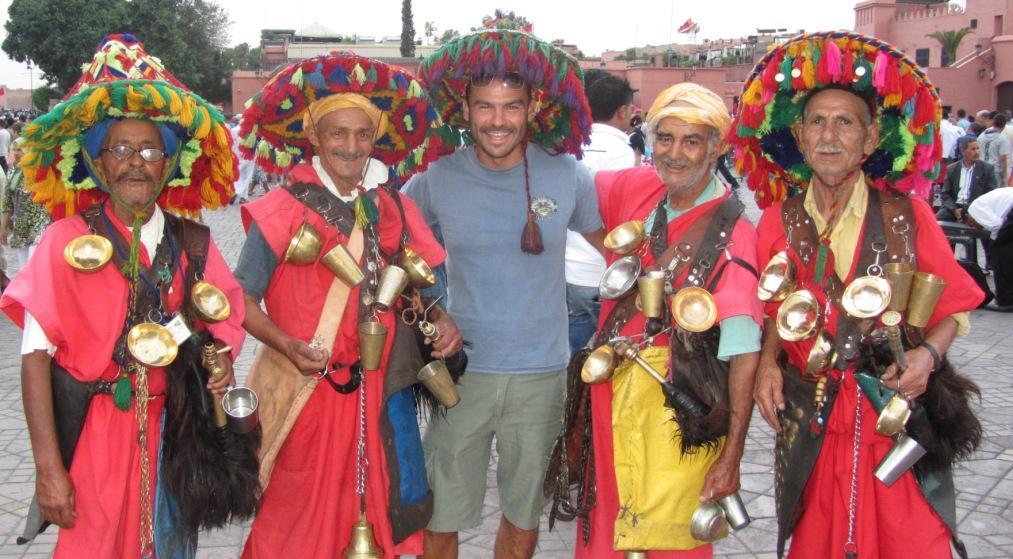
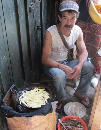
2010
Turkey - Syria - Lebanon, July 2010 with Andreas and 2 BMW 1200
GS.
We took the boat from Athens to Rhodes, near the southwest coast
of Turkey. Rhodes is one of the largest and most touristic islands in Greece.
There, we met Steve, an old friend from Hong Kong.
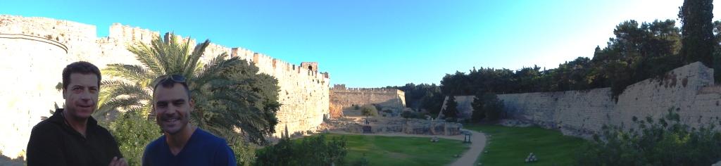
After a couple of days in Rhodes, we took the boat to Marmaris, on
the coast of Turkey. Although the trip is less than two hours, the ticket is
very expensive because there is
only one operator and only three boats per week. This is, in general, true for
all crossings between Greek islands and Turkey.
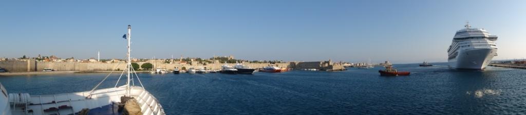
From Marmaris, we drove southeast to the seaside town of
abandoned since the population exchange of 1923. The legend is that Muslim
immigrants from the Balkans refused to relocate in the village because they
considered it haunted.
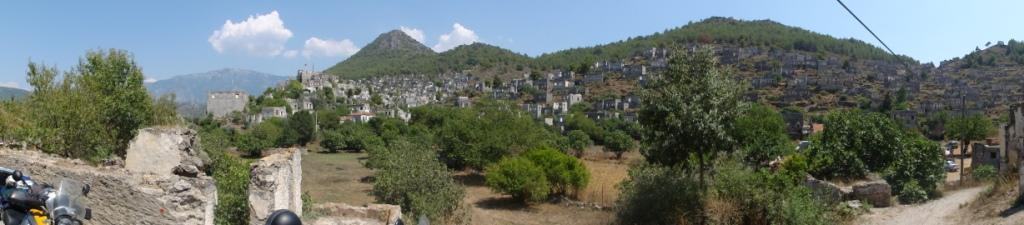
Near Kaya, is the beautiful lagoon of Oludeniz, where we camped
for the night. The area was very busy (maybe too busy for my taste) with
several options for nightlife,
water sports and paragliding.
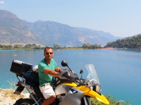

From Oludeniz, our plan was to cross the southern coast of

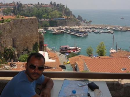
The 100km between Antalya and Alanya (to the east) is flat and full of huge
hotels. However, after Alanya the terrain becomes mountainous and touristic
development stops.
The road is small and curvy (see photo), almost all the way to Mersin, the next
big city, several hundred kilometers away. From Mersin, there is highway to
Iskenderum, an industrial city next to the border with Syria.
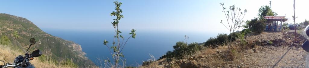
We had tried to obtain Syrian visas in Athens, but it was not
possible because their computer system was down. At the time, the explanation
sounded strange, but things became clear
when we arrived at the Syrian side of the border; it was simply a mess. A huge
queue of trucks and cars, people running around and no obvious organization of
any kind.
We had to wait a few hours in several offices (see photo below), pay a
significant amount of money (most of it - about $120- for the carnet du
passage,
required for all vehicles every time they enter Syria), and give small
"gifts" to various "officials". On the positive side, the
visa process was simple
(the visits to the embassy in Athens were unnecessary, as the complications
were due to the bikes - not the visas), and there were always good people
around willing to help.
The landscape after entering Syria and towards Haleppo is distinctively third
world.
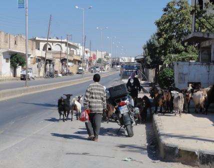
Haleppo is a world heritage
site, and it deserves it at least because of its well-preserved old city. It
also has a decent number of tourists, some good hotels and excellent food. I
was surprised by two things. First it was the diversity of the people; among
the deeply religious folks (e.g., fully covered women), you could see a few
that could be easily European (e.g., women with tight skirts or jeans), but
were locals. Second, it was the hospitality;
wherever we went to Syria (and later in Lebanon) people would go out of their
way to help us navigate, offer us tea, food or whatever they could provide.
I had heard about Arab hospitality before, but I was pleasantly surprised to
experience it first-hand.
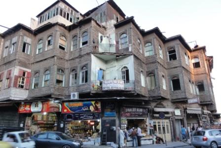
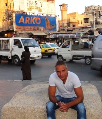
After Haleppo, we crossed a large part of
(i) most of the route was in the desert under 40-50 degrees Celsius with no
trees or anything to take cover from the sun; (ii) to our horror, we discovered
that the (few)
gas stations did not have unleaded gas. Eventually, we had to fill the tanks
with leaded gas, and we completed the trip fearful that at any point the
engines would break down
in the middle of nowhere. The engines held, and eventually we reached
(unless you are an archaeologist).
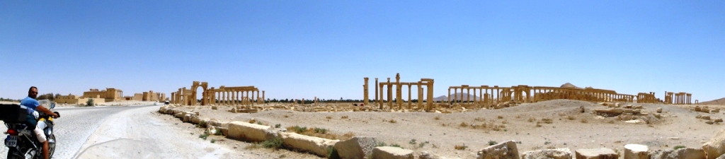
From Palmyra, we continued to Damascus. Again the landscape is
mostly desert with few villages breaking the monotony.
However, as usual, we had some worthwhile moments and met some interesting
people during our travel breaks.
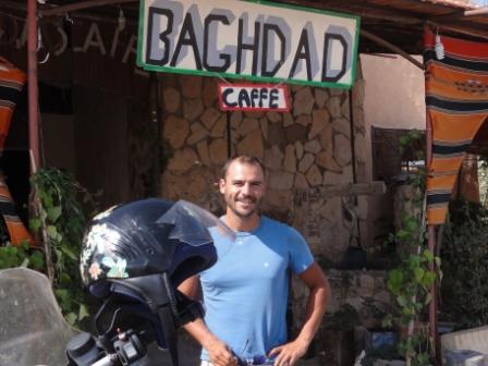
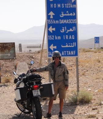

Damascus is a big city
with chaotic traffic. With a little help from our friends (see Arab
hospitality), we quickly found a nice hotel in the old city, and started
exploring the
(i) famous bazaars, (ii) the colorful coffee shops, (iii) the numerous food
options and (iv) the local characters as shown in the pictures below.

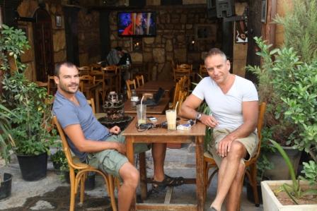
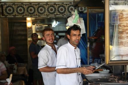
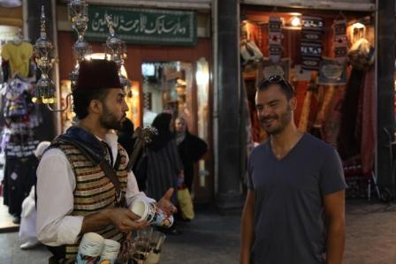
We liked
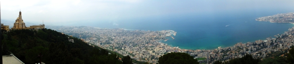
We stayed only four days
in Beirut, but I have too many stories to tell. It is worth mentioning Elio do
Brazil (see picture below with Andreas), the Lebanese-Brazilian, who helped us
with some bike problems, showed us around Beirut, and brought us in contact
with other locals (including Greeks). The center of Beirut, recently rebuilt
after the civil war, is beautiful; go there during a summer afternoon and you
will see some of the most expensive cars parked around, and beautiful women
sipping their coffee or shopping in exquisite stores.
However, I was mostly impressed by the liveliness of the night life - these
people know how to party (and I have enough experience on this topic to be an
objective judge).
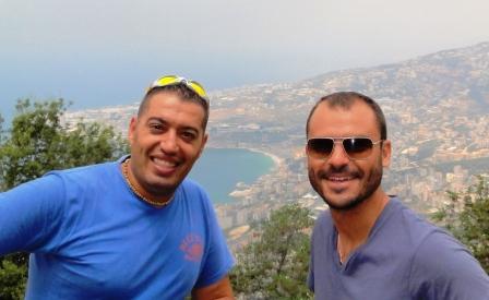
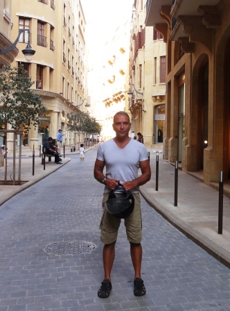
Because we stayed in

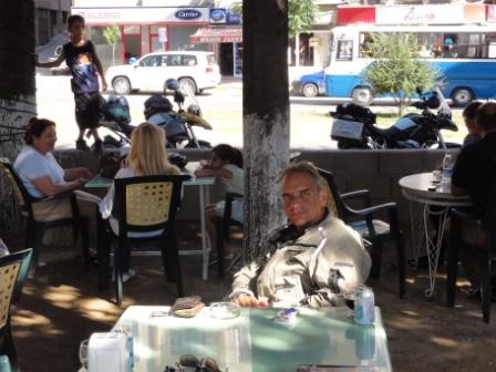
It was an interesting site to see, but I am not sure that I would
do it, if it were the only destination of the trip. Maybe everything else after
Beirut would be boring anyway.
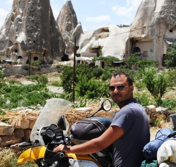
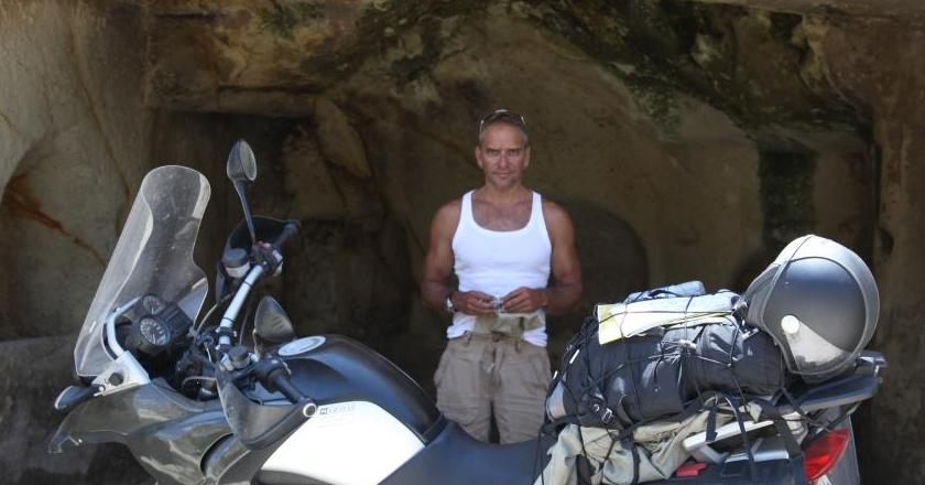
From Cappadocia, we took
the way back west, crossing Central Turkey. Interesting places that we visited
include:
Konya, a tidy and deeply religious city at the heart of Turkey,
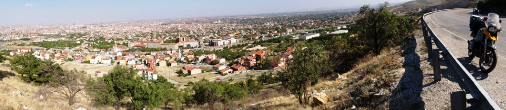
the natural springs of Pamukale,
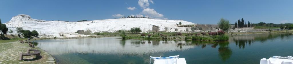
a nice lake on the mountains near Mugla,
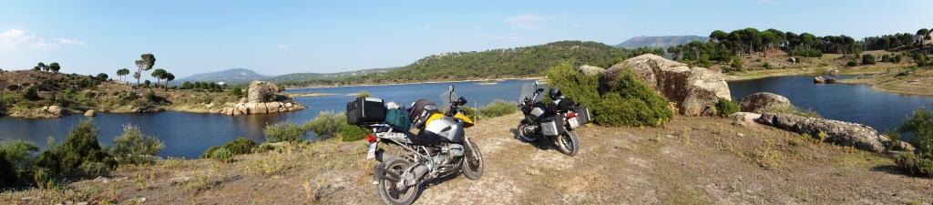
and finally, Bodrum, the expensive, busy resort opposite to the Greek island of
Kos.
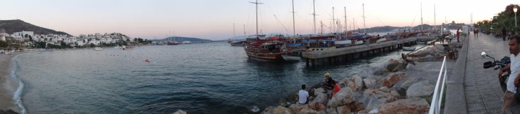
After two days in Bodrum, we
took the boat to Kos, concluding an interesting trip (and an unpleasant
diarrhea).
Conclusion: I strongly recommend
this trip provided that you can take the summer heat, and that your motorbike
can take the leaded gas of
although the distance to Haleppo is larger, the border is less busy (no
trucks), more organized, and the route more scenic (forest instead of desert).
Allow for a few days in
2009
In the summer of 2009, instead of a big tour abroad, we did several small ones
around Greece.
Ipeiros, Halkidiki, Skiathos island, July 2009 with Tony and 2 BMW 1200 GS.
Egnatia Highway in Ipeiros is a
pleasure to ride. The same is true for the new part of the Ionian Highway,
recently delivered outside Agrinio.
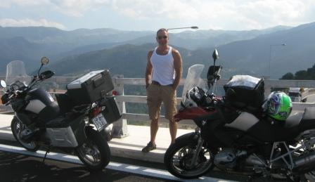
Camping at Armenistis in Halkidiki, and sunset in Skiathos
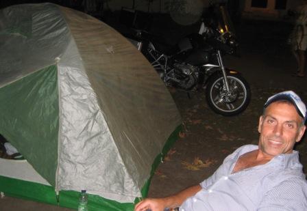
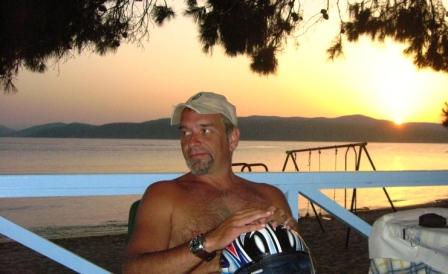
Patmos island, August 2009 with Andreas.
Patmos is beautiful and has the highest quality visitors (VIPs, artists
etc) that I have seen in any Greek island. Compared to Skiathos that I went
before (which is full of "mass production" entertainment), the
difference is large. Compared to Zakynthos that I visited later, it is a
different planet. However, the island is small (it takes about 30 minutes
to cross it on the motorbike), crowded and very far from Athens (I spent more
than 11 hours on the boat to reach there).

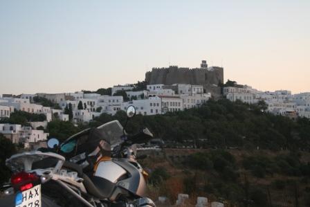
Zakynthos island, Tour of Peloponnese, Elafonisos, August 2009 with Andreas,
George and 3 BMW 1200 GS.
In Zakynthos, we stayed in Laganas, a place famous for his drunk young
tourists. However, most of the island is destroyed by touristic
overdevelopment, and in certain places it reminded me of third world
destinations (notably, Phuket in Thailand). The good thing is that it is cheap
and close to the mainland (1 hour by boat from Kylini, on the west coast of
Peloponnese). The bad thing is that it is dangerous for driving (too many drunk
kids on 4-wheel bikes, at any time of the day and night), and you should
stick to beer unless the bar-tender is your brother (all hard drinks are
tampered).
Andreas on the boat to Zakynthos - George and I relaxing after dinner at Porto
Roma, at the southernmost tip of the island.

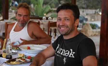
I did tours of Peloponnese in 2000 and 2005, and I remembered them as
the best tours that somebody could do in a few days. This summer, I reached the
same conclusion again.
Peloponnese has a huge variety of landscapes and interesting places in a rather
small area: the beautiful long beaches on the west, the green mountains of
Arcadia, the towers of Mani,
the castle of Monemvasia, the ancient monuments around Olympia, the orange
groves of Argolida etc. etc. As good as it gets.
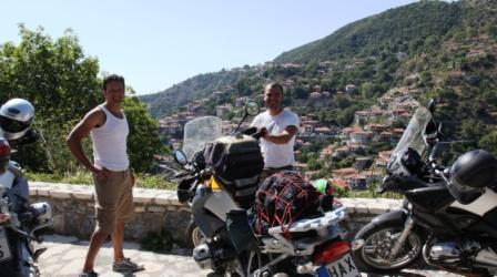
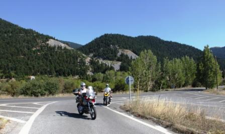
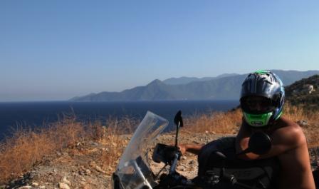
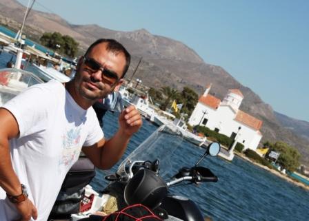

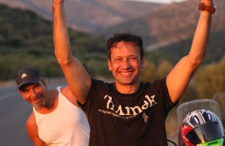
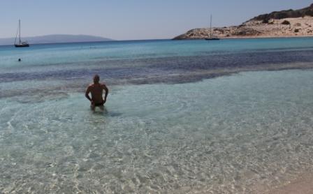
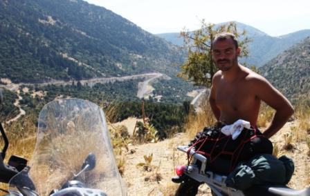


Balkans - Moldova - Ukraine, July 2008 with Andreas, Tony and 3
BMW 1200 GS.
We started from southern Greece and rode for almost 1000 km to
reach the north-eastern borders with Turkey.
A quick relief stop on the way - Andreas on a bridge over Evros river, Edirne
Turkey.
The roads in Turkey and Bulgaria were full of animals (we came face-to-face
with a couple of donkeys and cows, among others), and should be driven
carefully (more on this topic later). Our first night was spent in Burgas,
Bulgaria. Here relaxing on the beach.
The next stop-over was in Costanza, Romania. We followed the coastal route from
Burgas, which is not very interesting, except for the extensive construction
(mostly touristy) in Bulgaria. My opinion is that they are ruining whatever
landscape was there. From Costanza we continued north, towards the Danube
delta. The land is mostly flat and the road mostly straight.

Upon reaching Tulcea (Romania - near the border with Ukraine), we turned west
towards Galazi. Here, waiting for the ferry to cross Danube (Galazi in the
background).

Galazi is next to the border with Moldova, where logic stops, and the fun (or
nightmare, depending on how you see it and whom you meet) begins. At the
customs, there was an artificial queue of cars so that people would pay to get
in front. This queue crossed a railroad line. Fortunately, the train stopped
until people moved their cars. On the positive side, the small bribes in
official Moldova is nothing compared to what came later.

The south part of Moldova is considered the poorest area in Europe and has some
of the worst roads I have ever driven (in comparison, the afore-mentioned roads
in Bulgaria and Turkey seem like highways). Due to the delay at the
customs, we had to ride at night and under a severe thunderstorm. Eventually,
we arrived at the capital Chisinau at midnight.
Chisinau is a rather lively city that combines soviet with western
influences.


In order to go from Chisinau to Odessa (Ukraine), we had to drive around 50 kms
in Transnistria,
officially a part of Moldova, but in reality a no-man's land governed by
gangsters with soviet era uniforms playing custom-officers/policemen in a
non-existent country. It took us about 5 hours and 500 Euros to cross these 50
kms, as we were asked to pay 5 times (for non-existent reasons). Below, a
"highway" in Transnistria, probably the most expensive in the world,
and the necessary cigarette immediately after entering Ukraine.
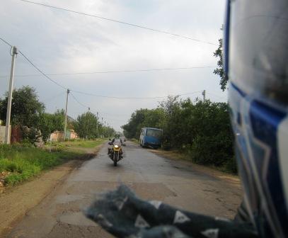
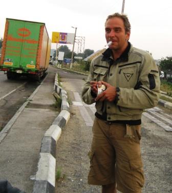
Odessa is a beautiful city. Furthermore, its reputation regarding good-looking
women is true. Here Andreas, trying (unsuccessfully) to mingle with the crowd.

On the way back, we took a different road south-west towards the Danube delta
(Ukraine side), which is worth visiting (and avoids Transnistria).
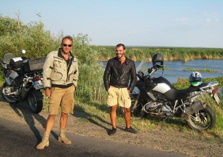
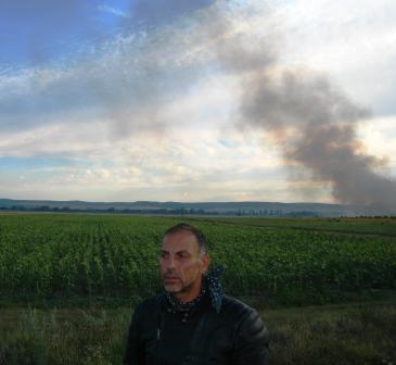
After a short re-entry in Moldova and the usual small bribe (around 5 Euros -
this is not Transnistria), we reached Romania, i.e., the civilized world (I
never thought I would say that). The most interesting event in Romania happened
during a quick stop at a rather busy road between Galazi and Bucharest, when we
realized that we were surrounded by hashish trees.
On the route from Romania
to Bulgaria we found some heavy rain. Nevertheless, when the goings get tough,
the tough get going, and we arrived safe in Sofia.
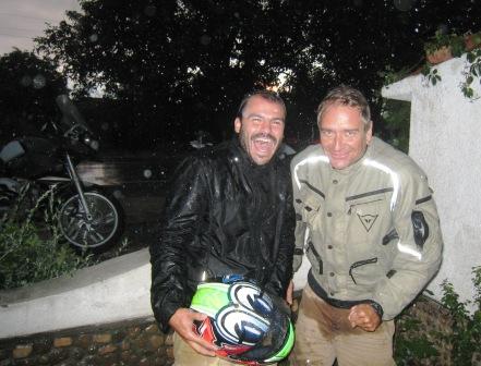

The last day we crossed
South Bulgaria and re-entered Greece (i.e., the really civilized world,
although some western Europeans may disagree).
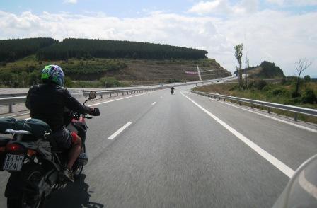
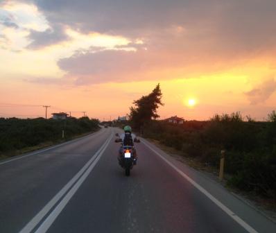
Conclusion: in some sense it was good to visit the last wild part of Europe,
but I would avoid the Transnistria experience again at any cost. Take good care
of your bikes before the trip - in certain areas, even a flat tyre may cause
serious problems. There is a lot of car/bike theft in Ukraine and Bulgaria -
leave your bikes in guarded garages. The customs are always time-consuming
(even when you do not have to bribe). A GPS would have been very helpful,
especially for navigating inside the cities. Do not expect people to speak
English.
Bonus pictures: Tour of Chalkidiki (second leg) in Northern Greece.
Impressive landscape and beaches.


2007
In 2007, I had three motorbikes: a BMW 1200 GS in Greece, a Yamaha
FZ1-N in Hong Kong and a Yamaha FZ6-S in Singapore, where I stayed most of the
year.
Malaysia Tours
September 2007: Tour of South Malaysia.
I started from Singapore with FZ6 for a tour of Southeast Malaysia – on the road from Johor to Mersing
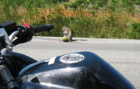
Pulau Tioman


Although there are some excellent roads, the tropical heat and storms do not
make riding very pleasant.
April 2007: Tour of central and eastern Malaysia.
The road from Singapore to Kuala-Lumpur is an almost straight highway (and
bikes do not have to pay tolls). Then, I crossed Malaysia west-east and rode
along the eastern coastline.
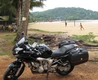
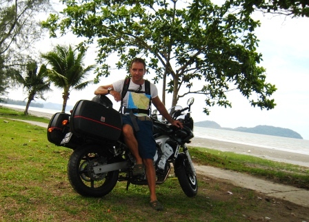
The best part was in the hills/mountains of the Malay interior, with curvy
roads and relatively low temperatures. The rest was rather boring.
2006
Greece-Italy-France-Turkey
I first made a stop in Perugia, Italy to see Tony.
Next, I continued to France,
where I spent a week in to Montpellier. Here mountain-climbing.
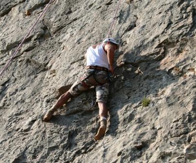
Upon return to Greece, I joined Andreas for a tour of Northern
Greece (here in Kavala),
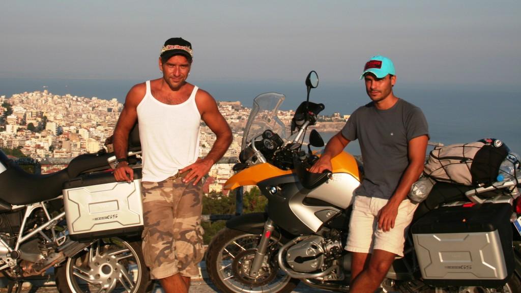
and Turkey.

Our first stop Constantinople (Istanbul), a city with impressive
monuments.
Agia Sofia
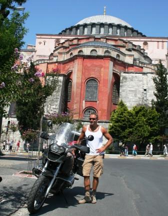
and Golden Horn Bridge.
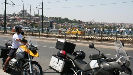
Then, we continued south, towards the Aegean coast. Below,
Canakkale, in Asia Minor.
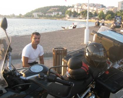
Camping on the way.
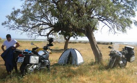
Tired and dirty, we reached Cesme, where we took the little ferry
to Chios - the Greek island on the other side.
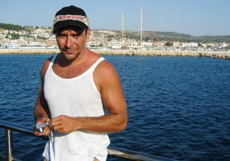
Despite not being a very popular tourist destination, Chios offers
some of the best landscape / bike routes
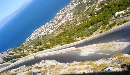
and beaches, that I have ever seen.
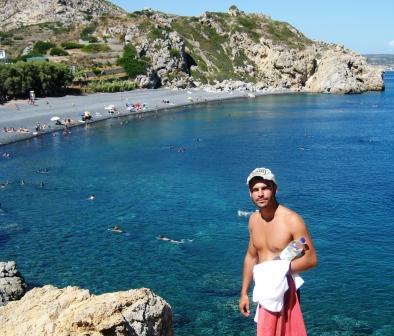
2005
Southern France, Basque Country, Madrid, Pyrenees with Sophie
Southern France: Carcassone and Foix

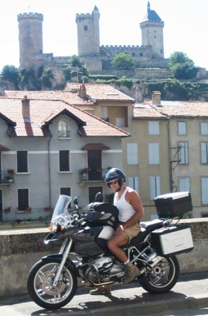
Near the border with Spain: every village and a castle
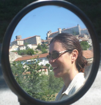
Basque Country: San Sebastian

and Bilbao (Guggenheim museum)

Santander, Cantabria, Spain. Beach on the Atlantic Ocean
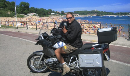
The flat land to Madrid and sightseeing there
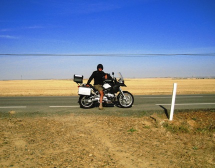

Going up the Pyrenees from the Spanish side

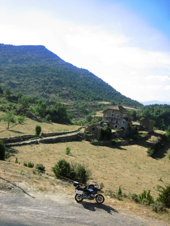
and traveling around the mountains
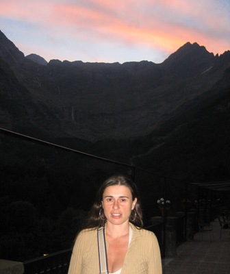
about 7,000 km in 10 days. Very nice and good shopping if you stop in Andorra
(especially for bike stuff).